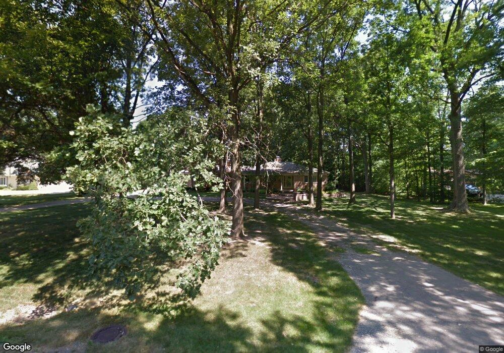
41930 North Dr Canton, MI 48188
Estimated Value: $364,884 - $461,000
--
Bed
2
Baths
2,087
Sq Ft
$193/Sq Ft
Est. Value
About This Home
This home is located at 41930 North Dr, Canton, MI 48188 and is currently estimated at $402,471, approximately $192 per square foot. 41930 North Dr is a home located in Wayne County with nearby schools including Marshall Upper Elementary School, John Glenn High School, and Schoolhouse Montessori Academy of Canton.
Ownership History
Date
Name
Owned For
Owner Type
Purchase Details
Closed on
Nov 2, 2009
Sold by
Sommerman George E and Sommerman Lou E
Bought by
Sommerman George E and George E Sommerman Revocable Trust
Current Estimated Value
Purchase Details
Closed on
Apr 3, 2008
Sold by
Sommerman George E and Sommerman Donna V
Bought by
Sommerman George E and George E Sommerman Revocable Trust
Create a Home Valuation Report for This Property
The Home Valuation Report is an in-depth analysis detailing your home's value as well as a comparison with similar homes in the area
Home Values in the Area
Average Home Value in this Area
Purchase History
| Date | Buyer | Sale Price | Title Company |
|---|---|---|---|
| Sommerman George E | -- | Liberty Title | |
| Sommerman George E | -- | Liberty Title | |
| Sommerman George E | -- | None Available |
Source: Public Records
Tax History Compared to Growth
Tax History
| Year | Tax Paid | Tax Assessment Tax Assessment Total Assessment is a certain percentage of the fair market value that is determined by local assessors to be the total taxable value of land and additions on the property. | Land | Improvement |
|---|---|---|---|---|
| 2025 | $2,093 | $158,000 | $0 | $0 |
| 2024 | $2,093 | $155,700 | $0 | $0 |
| 2023 | $1,996 | $142,300 | $0 | $0 |
| 2022 | $4,842 | $119,100 | $0 | $0 |
| 2021 | $4,724 | $124,800 | $0 | $0 |
| 2020 | $4,639 | $121,300 | $0 | $0 |
| 2019 | $4,559 | $117,280 | $0 | $0 |
| 2018 | $1,563 | $106,040 | $0 | $0 |
| 2017 | $5,034 | $104,800 | $0 | $0 |
| 2016 | $4,301 | $101,900 | $0 | $0 |
| 2015 | $9,751 | $99,750 | $0 | $0 |
| 2013 | $9,446 | $98,650 | $0 | $0 |
| 2010 | -- | $98,080 | $39,290 | $58,790 |
Source: Public Records
Map
Nearby Homes
- 2855 Tall Oak Ln
- 2942 Tall Oak Ln
- 2340 S Lilley Rd
- 2435 S Haggerty Rd
- 50519 Rockingham Dr
- 2006 S Lilley Rd
- 41021 Lot 46 Old Michigan Ave
- 1834 Maple Park Dr W Unit 9
- 41021 Old Michigan Ave
- 41481 Cumberland Dr
- 000 S Lotz Rd
- 41441 Cumberland Dr
- 43415 Michigan Ave
- 41928 Old Bridge Rd
- 1530 Fairfax Dr
- 2448 Arcadia Dr
- 2322 Arcadia Dr Unit 254
- 2065 Pinecroft Dr Unit 201
- 1803 Pinecroft Dr Unit 171
- 40488 Glen Eagle Ln Unit 75
- 51190 Scarborough Rd
- 50905 Scarborough Rd
- 50905 Scarborough Rd
- 51018 Rockingham Dr
- 51056 Rockingham Dr
- 51011 Rockingham Dr
- 50654 Scarborough Rd
- 50654 Scarborough Rd
- 50654 Scarborough Rd
- 50628 Scarborough Rd
- 50628 Scarborough Rd
- 1462 Hialeah Dr
- 50918 Scarborough Rd
- 51228 Scarborough Rd
- 51138 Scarborough Rd
- 50617 Scarborough Rd
- 50918 Scarborough Rd
- 51073 Scarborough Rd
- 51271 Woodford Dr
- 51072 Woodford Dr