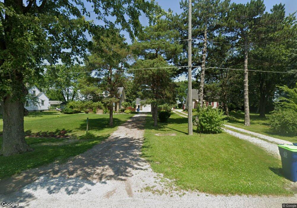
4195 Janes Rd Saginaw, MI 48601
Estimated Value: $109,230 - $157,000
3
Beds
1
Bath
1,170
Sq Ft
$110/Sq Ft
Est. Value
About This Home
This home is located at 4195 Janes Rd, Saginaw, MI 48601 and is currently estimated at $129,058, approximately $110 per square foot. 4195 Janes Rd is a home located in Saginaw County with nearby schools including Thompson Middle School, Saginaw United High School, and Saginaw Preparatory Academy.
Ownership History
Date
Name
Owned For
Owner Type
Purchase Details
Closed on
Aug 6, 2024
Sold by
Armbruster Kathleen M and Billington Laurie A
Bought by
Armbruster Kathleen M and Billington Laurie A
Current Estimated Value
Purchase Details
Closed on
Feb 28, 2017
Sold by
Armbruster Kathleen M
Bought by
Armbruster Kathleen M and Billington Laurie A
Purchase Details
Closed on
Dec 7, 2001
Home Financials for this Owner
Home Financials are based on the most recent Mortgage that was taken out on this home.
Original Mortgage
$79,350
Interest Rate
6.87%
Create a Home Valuation Report for This Property
The Home Valuation Report is an in-depth analysis detailing your home's value as well as a comparison with similar homes in the area
Home Values in the Area
Average Home Value in this Area
Purchase History
| Date | Buyer | Sale Price | Title Company |
|---|---|---|---|
| Armbruster Kathleen M | -- | None Listed On Document | |
| Armbruster Kathleen M | -- | None Available | |
| -- | $80,000 | -- | |
| Armbruster Kathleen M | $80,000 | -- |
Source: Public Records
Mortgage History
| Date | Status | Borrower | Loan Amount |
|---|---|---|---|
| Previous Owner | Armbruster Kathleen M | $79,350 |
Source: Public Records
Tax History Compared to Growth
Tax History
| Year | Tax Paid | Tax Assessment Tax Assessment Total Assessment is a certain percentage of the fair market value that is determined by local assessors to be the total taxable value of land and additions on the property. | Land | Improvement |
|---|---|---|---|---|
| 2025 | $1,691 | $42,000 | $0 | $0 |
| 2024 | $730 | $39,700 | $0 | $0 |
| 2023 | $694 | $35,300 | $0 | $0 |
| 2022 | $1,534 | $31,300 | $0 | $0 |
| 2021 | $1,418 | $28,600 | $0 | $0 |
| 2020 | $1,224 | $28,600 | $0 | $0 |
| 2019 | $1,198 | $28,300 | $5,300 | $23,000 |
| 2018 | $405 | $28,800 | $0 | $0 |
| 2017 | $1,064 | $28,800 | $0 | $0 |
| 2016 | $1,042 | $27,000 | $0 | $0 |
| 2014 | -- | $27,000 | $0 | $21,700 |
| 2013 | -- | $26,300 | $0 | $0 |
Source: Public Records
Map
Nearby Homes
- 3810 Janes Rd
- 3730 Janes Rd
- 612 S 31st St
- 523 S 29th St
- 523 S 28th St
- 436 S 27th St
- 1408 S Outer Dr
- 116 N 24th St
- 427 S 24th St
- 645 S 23rd St
- 1910 S Outer Dr
- 1932 S Outer Dr
- 6050 Wadsworth Rd
- 2621 Wadsworth Ave
- 347 S 19th St
- 2420 Bancroft St
- 1579 Joy St
- 996 Athens St
- 1337 Woodside St
- 5050 Carnegie St