4195 Pea Ridge Rd Morganton, NC 28655
Estimated Value: $236,463 - $387,000
1
Bed
1
Bath
320
Sq Ft
$1,002/Sq Ft
Est. Value
About This Home
This home is located at 4195 Pea Ridge Rd, Morganton, NC 28655 and is currently estimated at $320,488, approximately $1,001 per square foot. 4195 Pea Ridge Rd is a home with nearby schools including Oak Hill Elementary School, Table Rock Middle School, and Freedom High School.
Ownership History
Date
Name
Owned For
Owner Type
Purchase Details
Closed on
Feb 19, 2009
Sold by
Greene James Phillip and Greene Kathy Ann
Bought by
Greene David Allen
Current Estimated Value
Home Financials for this Owner
Home Financials are based on the most recent Mortgage that was taken out on this home.
Original Mortgage
$40,000
Interest Rate
5.07%
Mortgage Type
Purchase Money Mortgage
Create a Home Valuation Report for This Property
The Home Valuation Report is an in-depth analysis detailing your home's value as well as a comparison with similar homes in the area
Home Values in the Area
Average Home Value in this Area
Purchase History
| Date | Buyer | Sale Price | Title Company |
|---|---|---|---|
| Greene David Allen | $36,000 | None Available |
Source: Public Records
Mortgage History
| Date | Status | Borrower | Loan Amount |
|---|---|---|---|
| Closed | Greene David Allen | $40,000 |
Source: Public Records
Tax History
| Year | Tax Paid | Tax Assessment Tax Assessment Total Assessment is a certain percentage of the fair market value that is determined by local assessors to be the total taxable value of land and additions on the property. | Land | Improvement |
|---|---|---|---|---|
| 2025 | $1,057 | $166,379 | $32,909 | $133,470 |
| 2024 | $1,065 | $166,379 | $32,909 | $133,470 |
| 2023 | $1,043 | $149,145 | $32,909 | $116,236 |
| 2022 | $916 | $106,221 | $32,829 | $73,392 |
| 2021 | $910 | $106,221 | $32,829 | $73,392 |
| 2020 | $906 | $106,221 | $32,829 | $73,392 |
| 2019 | $906 | $106,221 | $32,829 | $73,392 |
| 2018 | $900 | $0 | $0 | $0 |
| 2017 | $898 | $108,934 | $32,829 | $76,105 |
| 2016 | $904 | $108,934 | $32,829 | $76,105 |
| 2015 | $901 | $108,934 | $32,829 | $76,105 |
| 2014 | $899 | $108,934 | $32,829 | $76,105 |
| 2013 | $889 | $108,934 | $32,829 | $76,105 |
Source: Public Records
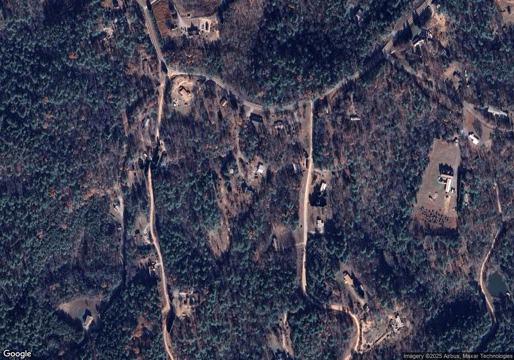
Map
Nearby Homes
- 2236 Sisue St
- 1076 Browning View Rd
- 1060 Hawksbill Dr
- 1057 Hawksbill Dr
- 2033 Starlight Ln Unit 111
- 4157 Beck Rd
- 3680 Grandview Dr
- 3375 Nc 126
- 3666 Grandview Dr
- 3494 Lake Dr Unit 17
- 3486 Lake Dr Unit 16
- 4333 Kirby Dr Unit 10,14,4
- 3639 Lake Dr Unit 25
- 2556 Nc 126
- 3577 Lake Dr Unit 26
- 3188 Lake Dr Unit 4
- 0 Boyd Moore Ave Unit CAR3848175
- 1386 Southpointe Dr
- 3164 Lake Dr Unit Lot 3
- 1416 Southpointe Dr Unit 67
- 4185 Pea Ridge Rd
- 1500 S and B Farm Rd
- 4235 Pea Ridge Rd
- 1491 S and B Farm Rd
- 4151 Pea Ridge Rd Unit 65
- 4263 Pea Ridge Rd
- 1841 Canoe Creek Way
- 4250 Pea Ridge Rd
- 4289 Pea Ridge Rd
- 1955 Lonnie Shuffler St
- 4275 Pea Ridge Rd
- 4071 Pea Ridge Rd
- 4309 Pea Ridge Rd
- 1962 Lonnie Shuffler St
- 0 Canoe Creek Way Unit 19 CAR4015512
- 2655 Whitetail Cove
- 2085 Steamer Ln
- 1840 Deer Trace Trail
- 2175 Twins Ln
- 4357 Pea Ridge Rd
Your Personal Tour Guide
Ask me questions while you tour the home.