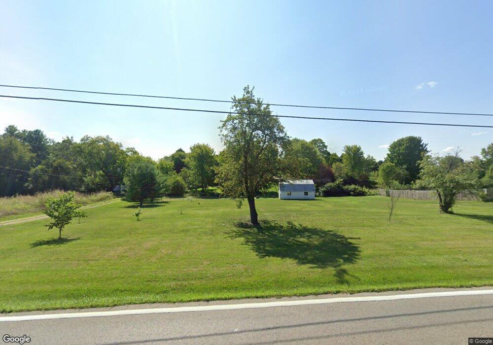
4198 N State Route 42 Waynesville, OH 45068
Wayne Township NeighborhoodEstimated Value: $293,977 - $348,000
3
Beds
2
Baths
1,560
Sq Ft
$206/Sq Ft
Est. Value
About This Home
This home is located at 4198 N State Route 42, Waynesville, OH 45068 and is currently estimated at $321,744, approximately $206 per square foot. 4198 N State Route 42 is a home with nearby schools including Waynesville Elementary School, Waynesville Middle School, and Waynesville High School.
Ownership History
Date
Name
Owned For
Owner Type
Purchase Details
Closed on
Oct 22, 2021
Sold by
White Don M and White Margaret D
Bought by
White Don M and White Margaret D
Current Estimated Value
Purchase Details
Closed on
Feb 16, 1994
Sold by
White White and White Margaret D
Bought by
White White and White Don M
Purchase Details
Closed on
Oct 23, 1984
Sold by
White White and White Don M
Bought by
White White and White Margaret D
Create a Home Valuation Report for This Property
The Home Valuation Report is an in-depth analysis detailing your home's value as well as a comparison with similar homes in the area
Home Values in the Area
Average Home Value in this Area
Purchase History
| Date | Buyer | Sale Price | Title Company |
|---|---|---|---|
| White Don M | -- | None Available | |
| White White | -- | -- | |
| White White | -- | -- |
Source: Public Records
Tax History Compared to Growth
Tax History
| Year | Tax Paid | Tax Assessment Tax Assessment Total Assessment is a certain percentage of the fair market value that is determined by local assessors to be the total taxable value of land and additions on the property. | Land | Improvement |
|---|---|---|---|---|
| 2024 | $3,110 | $75,990 | $30,710 | $45,280 |
| 2023 | $2,736 | $58,688 | $18,112 | $40,575 |
| 2022 | $2,675 | $58,688 | $18,113 | $40,576 |
| 2021 | $2,565 | $58,688 | $18,113 | $40,576 |
| 2020 | $2,417 | $47,712 | $14,725 | $32,988 |
| 2019 | $2,418 | $47,712 | $14,725 | $32,988 |
| 2018 | $2,419 | $47,712 | $14,725 | $32,988 |
| 2017 | $2,296 | $43,201 | $13,241 | $29,960 |
| 2016 | $3,060 | $61,250 | $13,241 | $48,010 |
| 2015 | $3,065 | $61,250 | $13,241 | $48,010 |
| 2014 | $2,905 | $55,060 | $12,200 | $42,860 |
| 2013 | $2,899 | $65,880 | $14,020 | $51,860 |
Source: Public Records
Map
Nearby Homes
- 3966 U S 42
- 2901 Shoemaker Rd
- 2300 Pekin Rd
- 4228 Utica Rd
- 2722 U S 42
- 2722 N US Route 42
- 2832 Abby Ln
- 4752 E Lower Springboro Rd
- 2130 N Liberty Keuter Rd
- 4363 Hollingsworth Rd
- 0 Vicki Ln Unit 926808
- 5669 O Neall Rd
- 401 Wilkerson Ln
- Tract 3 O'Neall Rd
- Tract 2 O'Neall Rd
- Lot 5- 2.6770acres Weisenberger Rd
- 0 Ohio 73 Unit 944080
- 6363 Trillium Dr
- 196 S 3rd St
- 26 Country Lakes Blvd
- 4206 N State Route 42
- 4166 N State Route 42
- 4166 U S 42
- 4187 N State Route 42
- 4321 N State Route 42
- 4323 N State Route 42
- 4325 U S 42
- 4325 N State Route 42
- 4274 U S 42
- 4112 N State Route 42
- 4103 N State Route 42
- 4272 N State Route 42
- 4272 U S 42
- 4103 U S 42
- 4274 N State Route 42
- 4110 N State Route 42
- 4101 N State Route 42
- 4101 U S 42
- 4101 St Rt 42
- 4329 N State Route 42