4198 State Route 61 S Shelby, OH 44875
Estimated Value: $179,940 - $257,000
3
Beds
1
Bath
1,320
Sq Ft
$172/Sq Ft
Est. Value
About This Home
This home is located at 4198 State Route 61 S, Shelby, OH 44875 and is currently estimated at $226,485, approximately $171 per square foot. 4198 State Route 61 S is a home located in Richland County with nearby schools including St. Mary's School and Sacred Heart School.
Ownership History
Date
Name
Owned For
Owner Type
Purchase Details
Closed on
Jul 24, 2006
Sold by
Phillips Margaret M
Bought by
Rand Joann
Current Estimated Value
Home Financials for this Owner
Home Financials are based on the most recent Mortgage that was taken out on this home.
Original Mortgage
$70,000
Outstanding Balance
$48,883
Interest Rate
10.12%
Mortgage Type
Purchase Money Mortgage
Estimated Equity
$177,602
Purchase Details
Closed on
May 2, 1994
Sold by
Ball Deborah A
Bought by
Phillips Glenn
Purchase Details
Closed on
Dec 1, 1986
Purchase Details
Closed on
May 1, 1985
Create a Home Valuation Report for This Property
The Home Valuation Report is an in-depth analysis detailing your home's value as well as a comparison with similar homes in the area
Home Values in the Area
Average Home Value in this Area
Purchase History
| Date | Buyer | Sale Price | Title Company |
|---|---|---|---|
| Rand Joann | $65,000 | Southern Title | |
| Phillips Glenn | $50,000 | -- | |
| -- | $34,000 | -- | |
| -- | $23,000 | -- |
Source: Public Records
Mortgage History
| Date | Status | Borrower | Loan Amount |
|---|---|---|---|
| Open | Rand Joann | $70,000 |
Source: Public Records
Tax History Compared to Growth
Tax History
| Year | Tax Paid | Tax Assessment Tax Assessment Total Assessment is a certain percentage of the fair market value that is determined by local assessors to be the total taxable value of land and additions on the property. | Land | Improvement |
|---|---|---|---|---|
| 2024 | $1,361 | $36,010 | $9,680 | $26,330 |
| 2023 | $1,361 | $36,010 | $9,680 | $26,330 |
| 2022 | $144 | $3,340 | $3,340 | $0 |
| 2021 | $144 | $3,340 | $3,340 | $0 |
| 2020 | $145 | $3,340 | $3,340 | $0 |
| 2019 | $821 | $10,110 | $7,530 | $2,580 |
| 2018 | $813 | $17,910 | $7,530 | $10,380 |
| 2017 | $764 | $17,910 | $7,530 | $10,380 |
| 2016 | $722 | $16,230 | $6,280 | $9,950 |
| 2015 | $722 | $16,230 | $6,280 | $9,950 |
| 2014 | $693 | $16,230 | $6,280 | $9,950 |
| 2012 | $355 | $16,740 | $6,480 | $10,260 |
Source: Public Records
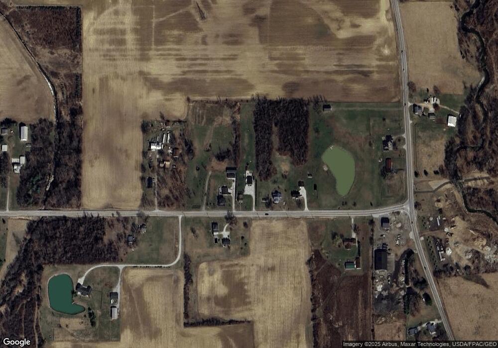
Map
Nearby Homes
- 671 Bendle Ave
- 16 Grace Ave
- 31 Sherwood Dr
- 14 Earl Ave
- 30 Jenner Ave
- 22 E Gaylord Ave
- 3389 Wareham Rd
- 116 Mansfield Ave
- 7 South St
- 3763 State Route 39
- 102 Mckinley Place
- 70 Mansfield Ave
- 45 Walnut St
- 70 W Park Dr
- 3768 State Route 39
- 32 Grove Ave
- 20 Seltzer Ave
- 3400 Rock Rd
- 31 W End Blvd
- 3596 Ohio 39
- 4216 State Route 61 S
- 4180 State Route 61 S
- 4166 State Route 61 S
- 4175 State Route 61 S
- 4221 State Route 61 S
- 4242 State Route 61 S
- 4231 State Route 61 S
- 4254 State Route 61 S
- 4131 State Route 61 S
- 4291 State Route 61 S
- 4072 State Route 61 S
- 4058 State Route 61 S
- 4058 State Route 314
- 3511 State Route 314
- 3475 State Route 314
- 4039 State Route 61 S
- 3407 State Route 314
- 4332 State Route 61 S
- 3526 St Rt 314
- 3459 State Route 314