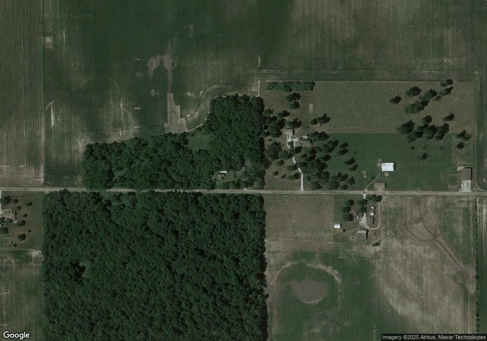
4199 E 900 S Brookston, IN 47923
Estimated Value: $161,708 - $275,000
2
Beds
2
Baths
1,344
Sq Ft
$169/Sq Ft
Est. Value
About This Home
This home is located at 4199 E 900 S, Brookston, IN 47923 and is currently estimated at $226,677, approximately $168 per square foot. 4199 E 900 S is a home with nearby schools including Frontier Elementary School and Frontier Junior/Senior High School.
Create a Home Valuation Report for This Property
The Home Valuation Report is an in-depth analysis detailing your home's value as well as a comparison with similar homes in the area
Tax History
| Year | Tax Paid | Tax Assessment Tax Assessment Total Assessment is a certain percentage of the fair market value that is determined by local assessors to be the total taxable value of land and additions on the property. | Land | Improvement |
|---|---|---|---|---|
| 2025 | $435 | $131,700 | $18,700 | $113,000 |
| 2024 | $435 | $115,300 | $18,700 | $96,600 |
| 2023 | $360 | $107,000 | $18,700 | $88,300 |
| 2022 | $300 | $87,500 | $18,700 | $68,800 |
| 2021 | $301 | $82,100 | $18,700 | $63,400 |
| 2020 | $263 | $78,900 | $18,700 | $60,200 |
| 2019 | $215 | $65,500 | $17,500 | $48,000 |
| 2018 | $216 | $63,500 | $17,500 | $46,000 |
| 2017 | $305 | $62,800 | $17,500 | $45,300 |
| 2016 | $171 | $53,000 | $14,100 | $38,900 |
| 2014 | $164 | $52,000 | $14,100 | $37,900 |
Source: Public Records
Map
Nearby Homes
- 6035 N Hodges Dr
- 6369 N 1225 West Crossroad
- Lot 4 E 850 S
- Lot 6 E 850 S
- Lot 3 E 850 S
- Lot 5 E 850 S
- Lot 2 E 850 S
- Lot 10 E 850 S
- 6559 N 1225 W
- 11503 W Tecumseh Bend Rd
- 12386 W Crest Dr
- 3426 N Charlais Cir
- 1279 E 800 S
- 7801 N Upper Hambridge Dr
- 8013 N Frazer Beach Dr
- 10379 W 400 N
- 11810 W 820 North Crossroad
- 5758 St Johns Ave
- 5748 St Johns Ave
- 5747 St Johns Ave
Your Personal Tour Guide
Ask me questions while you tour the home.