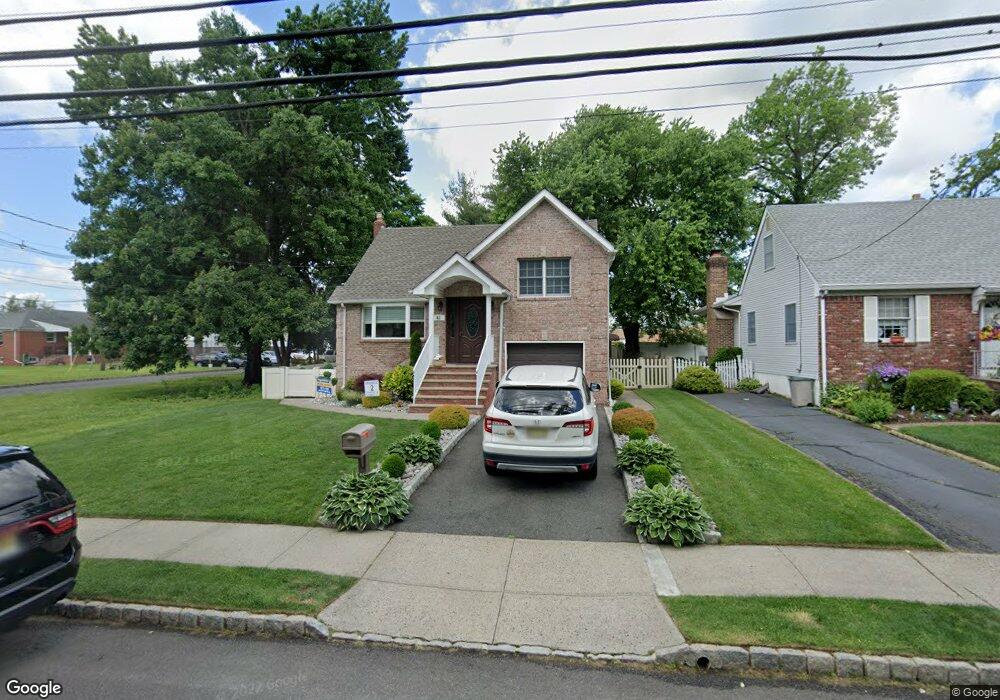
41A Myrtle St Cranford, NJ 07016
Estimated Value: $527,000 - $690,000
--
Bed
--
Bath
1,266
Sq Ft
$495/Sq Ft
Est. Value
About This Home
This home is located at 41A Myrtle St, Cranford, NJ 07016 and is currently estimated at $627,086, approximately $495 per square foot. 41A Myrtle St is a home located in Union County with nearby schools including Cranford Sr High School and St Michael School.
Ownership History
Date
Name
Owned For
Owner Type
Purchase Details
Closed on
May 15, 2012
Sold by
Daniello and Andrew T
Bought by
Brodbeck Lisa
Current Estimated Value
Purchase Details
Closed on
Jul 27, 2007
Sold by
Catanho Luis and Pardo Cristina
Bought by
Daniello Andrew T and Daniello Renee
Home Financials for this Owner
Home Financials are based on the most recent Mortgage that was taken out on this home.
Original Mortgage
$352,000
Interest Rate
6.73%
Mortgage Type
Unknown
Purchase Details
Closed on
Jul 13, 2005
Sold by
Wilson Robert
Bought by
Catano Louie and Pardo Cristina
Home Financials for this Owner
Home Financials are based on the most recent Mortgage that was taken out on this home.
Original Mortgage
$252,000
Interest Rate
5.67%
Purchase Details
Closed on
Aug 23, 2000
Sold by
Wilson William and Wilson Robert
Bought by
Wilson Robert
Purchase Details
Closed on
Apr 28, 1999
Sold by
Wilson Robert and Wilson Catherine M
Bought by
Wilson William and Wilson Robert
Create a Home Valuation Report for This Property
The Home Valuation Report is an in-depth analysis detailing your home's value as well as a comparison with similar homes in the area
Home Values in the Area
Average Home Value in this Area
Purchase History
| Date | Buyer | Sale Price | Title Company |
|---|---|---|---|
| Brodbeck Lisa | $320,000 | -- | |
| Daniello Andrew T | $440,000 | First American Title Ins Co | |
| Catano Louie | $315,000 | -- | |
| Wilson Robert | $60,000 | -- | |
| Wilson William | -- | -- |
Source: Public Records
Mortgage History
| Date | Status | Borrower | Loan Amount |
|---|---|---|---|
| Previous Owner | Daniello Andrew T | $352,000 | |
| Previous Owner | Catano Louie | $252,000 |
Source: Public Records
Tax History Compared to Growth
Tax History
| Year | Tax Paid | Tax Assessment Tax Assessment Total Assessment is a certain percentage of the fair market value that is determined by local assessors to be the total taxable value of land and additions on the property. | Land | Improvement |
|---|---|---|---|---|
| 2025 | $9,125 | $134,600 | $60,400 | $74,200 |
| 2024 | $8,974 | $134,600 | $60,400 | $74,200 |
| 2023 | $8,974 | $134,600 | $60,400 | $74,200 |
| 2022 | $8,900 | $134,600 | $60,400 | $74,200 |
| 2021 | $8,861 | $134,600 | $60,400 | $74,200 |
| 2020 | $8,832 | $134,600 | $60,400 | $74,200 |
| 2019 | $8,776 | $134,600 | $60,400 | $74,200 |
| 2018 | $8,617 | $134,600 | $60,400 | $74,200 |
| 2017 | $8,321 | $134,600 | $60,400 | $74,200 |
| 2016 | $8,018 | $134,600 | $60,400 | $74,200 |
| 2015 | $7,808 | $134,600 | $60,400 | $74,200 |
| 2014 | $7,648 | $134,600 | $60,400 | $74,200 |
Source: Public Records
Map
Nearby Homes
- 98 Winans Ave
- 219 Centennial Ave Unit B
- 129 Thomas St
- 166 N Lehigh Ave
- 27 Cranford Terrace
- 127 Bryant Ave
- 383 Lincoln Ave E
- 37 Broad St
- 107 Myrtle St
- 1 Broad St
- 11 Mendell Ave
- 57 Berlant Ave
- 826 Amsterdam Ave
- 211 High St
- 569 Berlant Ave
- 323 Dermody St
- 247 Walnut Ave
- 53 Pallant Ave
- 2 Pine St
- 24 Oneida Place