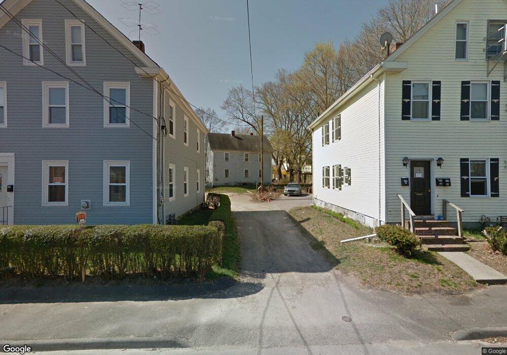
41R E Walnut St Taunton, MA 02780
Estimated Value: $480,000 - $729,000
4
Beds
2
Baths
2,160
Sq Ft
$273/Sq Ft
Est. Value
About This Home
This home is located at 41R E Walnut St, Taunton, MA 02780 and is currently estimated at $590,045, approximately $273 per square foot. 41R E Walnut St is a home located in Bristol County with nearby schools including Mulcahey Elementary School, Taunton High School, and John F. Parker Middle School.
Ownership History
Date
Name
Owned For
Owner Type
Purchase Details
Closed on
Jan 4, 2016
Sold by
Oliveria-Barbosa Tommy
Bought by
Graham Lanee
Current Estimated Value
Home Financials for this Owner
Home Financials are based on the most recent Mortgage that was taken out on this home.
Original Mortgage
$222,000
Outstanding Balance
$176,677
Interest Rate
3.98%
Mortgage Type
New Conventional
Estimated Equity
$413,368
Purchase Details
Closed on
Sep 5, 2013
Sold by
Strojny Michael
Bought by
Yvette Lanee and Barbosa Oliveira
Home Financials for this Owner
Home Financials are based on the most recent Mortgage that was taken out on this home.
Original Mortgage
$225,834
Interest Rate
4.34%
Mortgage Type
New Conventional
Purchase Details
Closed on
Oct 10, 2012
Sold by
R E Walnut St Rt
Bought by
Stronjy Michel
Create a Home Valuation Report for This Property
The Home Valuation Report is an in-depth analysis detailing your home's value as well as a comparison with similar homes in the area
Home Values in the Area
Average Home Value in this Area
Purchase History
| Date | Buyer | Sale Price | Title Company |
|---|---|---|---|
| Graham Lanee | -- | -- | |
| Yvette Lanee | $230,000 | -- | |
| Stronjy Michel | $51,812 | -- |
Source: Public Records
Mortgage History
| Date | Status | Borrower | Loan Amount |
|---|---|---|---|
| Open | Graham Lanee | $222,000 | |
| Previous Owner | Yvette Lanee | $225,834 |
Source: Public Records
Tax History Compared to Growth
Tax History
| Year | Tax Paid | Tax Assessment Tax Assessment Total Assessment is a certain percentage of the fair market value that is determined by local assessors to be the total taxable value of land and additions on the property. | Land | Improvement |
|---|---|---|---|---|
| 2025 | $4,483 | $409,800 | $92,400 | $317,400 |
| 2024 | $4,540 | $405,700 | $92,400 | $313,300 |
| 2023 | $4,475 | $371,400 | $92,400 | $279,000 |
| 2022 | $4,214 | $319,700 | $72,900 | $246,800 |
| 2021 | $4,006 | $282,100 | $58,900 | $223,200 |
| 2020 | $3,809 | $256,300 | $58,900 | $197,400 |
| 2019 | $3,907 | $247,900 | $63,300 | $184,600 |
| 2018 | $3,721 | $236,700 | $62,600 | $174,100 |
| 2017 | $3,565 | $226,900 | $59,300 | $167,600 |
| 2016 | $3,545 | $226,100 | $61,000 | $165,100 |
| 2015 | $3,437 | $229,000 | $62,700 | $166,300 |
| 2014 | $2,706 | $185,200 | $60,500 | $124,700 |
Source: Public Records
Map
Nearby Homes
- 16 Clinton St
- 46 Harrison St Unit 4
- 278 Cohannet St
- 215 High St Unit 21
- 215 High St Unit 20
- 98 Winthrop St
- 72 Barnum St
- 19 Mason St
- 4 Parkin Ct
- 0, M64 L51 Knapp St
- 0 M64 L39 Knapp St
- 0, M64 L49 Knapp St
- 0, M64 L50 Knapp St
- 48 Taunton Green
- 132 Winthrop St
- 24 1st St
- 6 W Summer St
- 39 Myrtle St
- 31 Church Green Unit 303
- 56 Silver St
- 41 E Walnut St
- 41 E Walnut St Unit R
- 15R Barnum St
- 15 Barnum St
- 15 Barnum St Unit R
- 9 Barnum Place
- 43 E Walnut St
- 5 Barnum Place
- 39 E Walnut St
- 39 E Walnut St Unit 2
- 39 E Walnut St Unit 1
- 39 E Walnut St Unit 3
- 13 Barnum St
- 37 E Walnut St
- 3 Barnum Place
- 17 Barnum St
- 45 E Walnut St
- 11 Barnum St
- 11 Barnum St Unit 1
- 35 E Walnut St