Estimated Value: $574,000 - $895,000
--
Bed
1
Bath
2,472
Sq Ft
$290/Sq Ft
Est. Value
About This Home
This home is located at 41W815 McDonald Rd, Elgin, IL 60124 and is currently estimated at $716,151, approximately $289 per square foot. 41W815 McDonald Rd is a home with nearby schools including Wasco Elementary School, Thompson Middle School, and St Charles North High School.
Ownership History
Date
Name
Owned For
Owner Type
Purchase Details
Closed on
Sep 4, 2001
Sold by
Hardy Richard J and Hardy Rene Ann
Bought by
Cartee James A and Bourel Cartee Cathy R
Current Estimated Value
Home Financials for this Owner
Home Financials are based on the most recent Mortgage that was taken out on this home.
Original Mortgage
$250,000
Outstanding Balance
$97,983
Interest Rate
7.06%
Estimated Equity
$618,168
Purchase Details
Closed on
Aug 31, 1998
Sold by
Holsing Thomas L and Davis Sharon A
Bought by
Hardy Richard J and Hardy Rene Ann
Home Financials for this Owner
Home Financials are based on the most recent Mortgage that was taken out on this home.
Original Mortgage
$330,000
Interest Rate
7.06%
Create a Home Valuation Report for This Property
The Home Valuation Report is an in-depth analysis detailing your home's value as well as a comparison with similar homes in the area
Home Values in the Area
Average Home Value in this Area
Purchase History
| Date | Buyer | Sale Price | Title Company |
|---|---|---|---|
| Cartee James A | $490,000 | -- | |
| Hardy Richard J | $376,000 | -- |
Source: Public Records
Mortgage History
| Date | Status | Borrower | Loan Amount |
|---|---|---|---|
| Open | Cartee James A | $250,000 | |
| Previous Owner | Hardy Richard J | $330,000 | |
| Closed | Cartee James A | $100,000 |
Source: Public Records
Tax History Compared to Growth
Tax History
| Year | Tax Paid | Tax Assessment Tax Assessment Total Assessment is a certain percentage of the fair market value that is determined by local assessors to be the total taxable value of land and additions on the property. | Land | Improvement |
|---|---|---|---|---|
| 2024 | $8,682 | $146,801 | $31,728 | $115,073 |
| 2023 | $8,472 | $134,892 | $28,716 | $106,176 |
| 2022 | $8,304 | $125,849 | $25,279 | $100,570 |
| 2021 | $8,164 | $122,275 | $24,414 | $97,861 |
| 2020 | $8,155 | $120,438 | $23,964 | $96,474 |
| 2019 | $8,086 | $119,136 | $23,642 | $95,494 |
| 2018 | $7,804 | $114,996 | $23,065 | $91,931 |
| 2017 | $7,711 | $112,667 | $22,474 | $90,193 |
| 2016 | $8,520 | $113,366 | $21,935 | $91,431 |
| 2015 | -- | $126,473 | $21,558 | $104,915 |
| 2014 | -- | $126,466 | $21,551 | $104,915 |
| 2013 | -- | $128,058 | $21,892 | $106,166 |
Source: Public Records
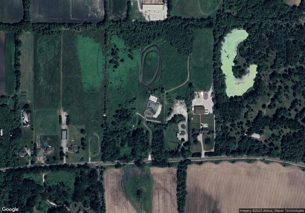
Map
Nearby Homes
- 41W591 Lenz Rd
- 1853 Chandolin Ln
- 1831 Chandolin Ln
- 1855 Chandolin Ln
- 41W455 Brierwood Dr
- 3689 Thornhill Dr
- 40W817 Willowbrook Dr
- 3660 Thornhill Dr
- 40W156 Sturbridge Way
- 3646 Thornhill Dr
- 6N679 Colonel Bennett Ln
- 4378 John Milton Rd
- 7N107 Hastings Dr
- 7N075 Hastings Dr
- Newcastle Plan at Ponds of Stony Creek - Phase II
- at Ponds of Stony Creek - Phase II
- Windsor Plan at Ponds of Stony Creek - Phase II
- Bluestone Plan at Ponds of Stony Creek - Phase II
- 3616 Sahara Rd
- 3587 Sandstone Cir
- 41W747 McDonald Rd
- 41W746 McDonald Rd
- 41W897 McDonald Rd
- 41W702 McDonald Rd
- 41W989 McDonald Rd
- 41W650 McDonald Rd
- 41W580 McDonald Rd
- 42W021 McDonald Rd
- 41W550 McDonald Rd
- 41W547 McDonald Rd
- 42W109 McDonald Rd
- LOT #1 McDonald Rd
- 7N971 Dittman Rd
- 8N316 Dittman Rd
- 41W320 McDonald Rd
- 7N775 Dittman Rd
- 7N895 Dittman Rd
- 8N006 Dittman Rd
- 8N655 Dittman Rd
- 41W348 McDonald Rd