Estimated Value: $659,000 - $728,000
4
Beds
3
Baths
3,200
Sq Ft
$216/Sq Ft
Est. Value
About This Home
This home is located at 41W989 McDonald Rd, Elgin, IL 60124 and is currently estimated at $689,741, approximately $215 per square foot. 41W989 McDonald Rd is a home located in Kane County with nearby schools including Wasco Elementary School, Thompson Middle School, and St Charles North High School.
Ownership History
Date
Name
Owned For
Owner Type
Purchase Details
Closed on
Jun 29, 2018
Sold by
Rood Sandra K
Bought by
Chicago Title Land Trust
Current Estimated Value
Purchase Details
Closed on
Feb 2, 2018
Sold by
Conningham Contrance Rae and Mackenzie Lisa Marie
Bought by
Chicago Title Trust 12293
Purchase Details
Closed on
May 9, 2015
Sold by
Kaufmann Kimberlee and Chisholm Kathy
Bought by
Rood Sandra Kay
Purchase Details
Closed on
Jun 28, 2001
Sold by
Reed Kathleen V
Bought by
Reed Kathleen V and Rood Sandra Kay
Create a Home Valuation Report for This Property
The Home Valuation Report is an in-depth analysis detailing your home's value as well as a comparison with similar homes in the area
Home Values in the Area
Average Home Value in this Area
Purchase History
| Date | Buyer | Sale Price | Title Company |
|---|---|---|---|
| Chicago Title Land Trust | -- | Chicago Title | |
| Chicago Title Trust 12293 | $16,000 | Chicago Title | |
| Rood Sandra Kay | $80,000 | Multiple | |
| Reed Kathleen V | -- | -- |
Source: Public Records
Tax History Compared to Growth
Tax History
| Year | Tax Paid | Tax Assessment Tax Assessment Total Assessment is a certain percentage of the fair market value that is determined by local assessors to be the total taxable value of land and additions on the property. | Land | Improvement |
|---|---|---|---|---|
| 2024 | $12,030 | $197,237 | $40,535 | $156,702 |
| 2023 | $11,023 | $170,684 | $36,667 | $134,017 |
| 2022 | $11,348 | $167,959 | $35,595 | $132,364 |
| 2021 | $10,651 | $156,175 | $34,388 | $121,787 |
| 2020 | $10,609 | $153,368 | $33,770 | $119,598 |
| 2019 | $10,498 | $151,385 | $33,333 | $118,052 |
| 2018 | $9,560 | $138,397 | $34,200 | $104,197 |
| 2017 | $10,340 | $136,335 | $33,569 | $102,766 |
| 2016 | $11,079 | $133,101 | $32,773 | $100,328 |
| 2015 | -- | $125,817 | $32,773 | $93,044 |
| 2014 | -- | $125,817 | $32,773 | $93,044 |
| 2013 | -- | $127,967 | $33,333 | $94,634 |
Source: Public Records
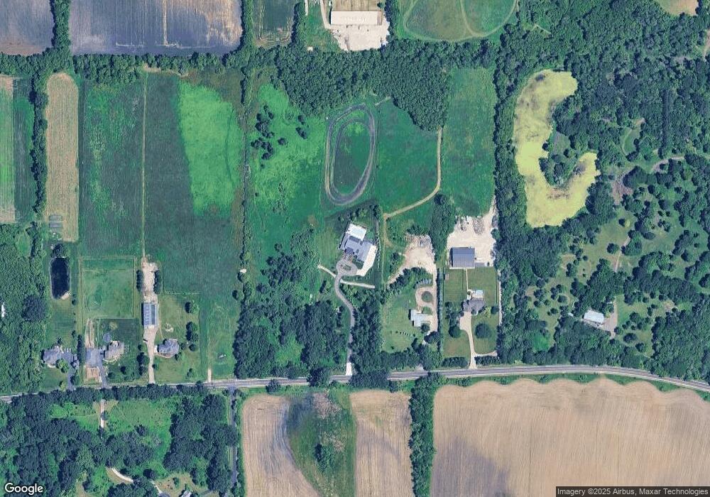
Map
Nearby Homes
- 1853 Chandolin Ln
- 1831 Chandolin Ln
- 1855 Chandolin Ln
- 41W591 Lenz Rd
- 41W455 Brierwood Dr
- 3689 Thornhill Dr
- 40W817 Willowbrook Dr
- 3660 Thornhill Dr
- 6N679 Colonel Bennett Ln
- 40W156 Sturbridge Way
- 3646 Thornhill Dr
- 4378 John Milton Rd
- 7N107 Hastings Dr
- 7N075 Hastings Dr
- Newcastle Plan at Ponds of Stony Creek - Phase II
- at Ponds of Stony Creek - Phase II
- Windsor Plan at Ponds of Stony Creek - Phase II
- Bluestone Plan at Ponds of Stony Creek - Phase II
- 3616 Sahara Rd
- 3587 Sandstone Cir
- 42W021 McDonald Rd
- 41W897 McDonald Rd
- 41W815 McDonald Rd
- 42W109 McDonald Rd
- 41W747 McDonald Rd
- 41W746 McDonald Rd
- 7N971 Dittman Rd
- 41W702 McDonald Rd
- 8N006 Dittman Rd
- 8N316 Dittman Rd
- 41W650 McDonald Rd
- 7N775 Dittman Rd
- 7N895 Dittman Rd
- 41W580 McDonald Rd
- 7N524 Dittman Rd
- 7N401 Dittman Rd
- 7N404 Dittman Rd
- 1 Dittman Rd
- 41W547 McDonald Rd
- 41W550 McDonald Rd