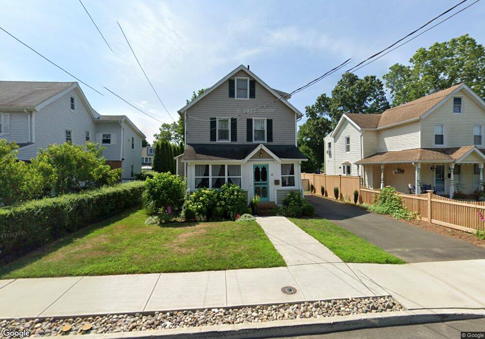
42 5th St Norwalk, CT 06855
East Norwalk NeighborhoodEstimated Value: $629,000 - $998,000
2
Beds
2
Baths
1,421
Sq Ft
$584/Sq Ft
Est. Value
About This Home
This home is located at 42 5th St, Norwalk, CT 06855 and is currently estimated at $830,096, approximately $584 per square foot. 42 5th St is a home located in Fairfield County with nearby schools including Marvin Elementary School, Nathan Hale Middle School, and Norwalk High School.
Ownership History
Date
Name
Owned For
Owner Type
Purchase Details
Closed on
Nov 7, 2006
Sold by
Clifford Mark R and Clifford Catherine F
Bought by
Kiska Dorothy M and Kessler Jeremy
Current Estimated Value
Purchase Details
Closed on
Jan 17, 2003
Sold by
Testa Michael R and Testa Maric D
Bought by
Clifford Mark R and Clifford Catherine F
Purchase Details
Closed on
Jul 10, 1995
Sold by
Lyons Anna P
Bought by
Testa Maria
Create a Home Valuation Report for This Property
The Home Valuation Report is an in-depth analysis detailing your home's value as well as a comparison with similar homes in the area
Home Values in the Area
Average Home Value in this Area
Purchase History
| Date | Buyer | Sale Price | Title Company |
|---|---|---|---|
| Kiska Dorothy M | $470,000 | -- | |
| Kiska Dorothy M | $470,000 | -- | |
| Clifford Mark R | $440,000 | -- | |
| Clifford Mark R | $440,000 | -- | |
| Testa Maria | $75,000 | -- | |
| Testa Maria | $75,000 | -- |
Source: Public Records
Mortgage History
| Date | Status | Borrower | Loan Amount |
|---|---|---|---|
| Open | Testa Maria | $414,000 | |
| Closed | Testa Maria | $431,000 |
Source: Public Records
Tax History
| Year | Tax Paid | Tax Assessment Tax Assessment Total Assessment is a certain percentage of the fair market value that is determined by local assessors to be the total taxable value of land and additions on the property. | Land | Improvement |
|---|---|---|---|---|
| 2025 | $10,387 | $434,620 | $262,080 | $172,540 |
| 2024 | $10,233 | $434,620 | $262,080 | $172,540 |
| 2023 | $6,944 | $276,820 | $171,770 | $105,050 |
| 2022 | $6,795 | $276,850 | $171,800 | $105,050 |
| 2021 | $6,635 | $276,820 | $171,770 | $105,050 |
| 2020 | $6,631 | $276,820 | $171,770 | $105,050 |
| 2019 | $6,454 | $276,820 | $171,770 | $105,050 |
| 2018 | $6,234 | $234,310 | $153,880 | $80,430 |
| 2017 | $6,018 | $234,310 | $153,880 | $80,430 |
| 2016 | $5,961 | $234,310 | $153,880 | $80,430 |
| 2015 | $5,974 | $235,470 | $153,880 | $81,590 |
| 2014 | $5,896 | $235,470 | $153,880 | $81,590 |
Source: Public Records
Map
Nearby Homes
- 11 Roland Ave
- 26 Cove Ave Unit 3B
- 100 Seaview Ave Unit 3I
- 100 Seaview Ave Unit 2J
- 281 East Ave
- 199 Gregory Blvd Unit E4
- 199 Gregory Blvd Unit I4
- 18 Cloverly Cir
- 4 van Zant St Unit A2
- 71A Osborne Ave Unit A4
- 32 Lincoln Ave
- 10 Burritt Ave
- 17 Pleasant St
- 34 Shorehaven Rd
- 189 East Ave
- 131 Washington St Unit 204
- 125 Washington St Unit 206
- 134 Washington St Unit 206
- 83 Washington St Unit 3C
- 94 Washington St Unit 20
Your Personal Tour Guide
Ask me questions while you tour the home.