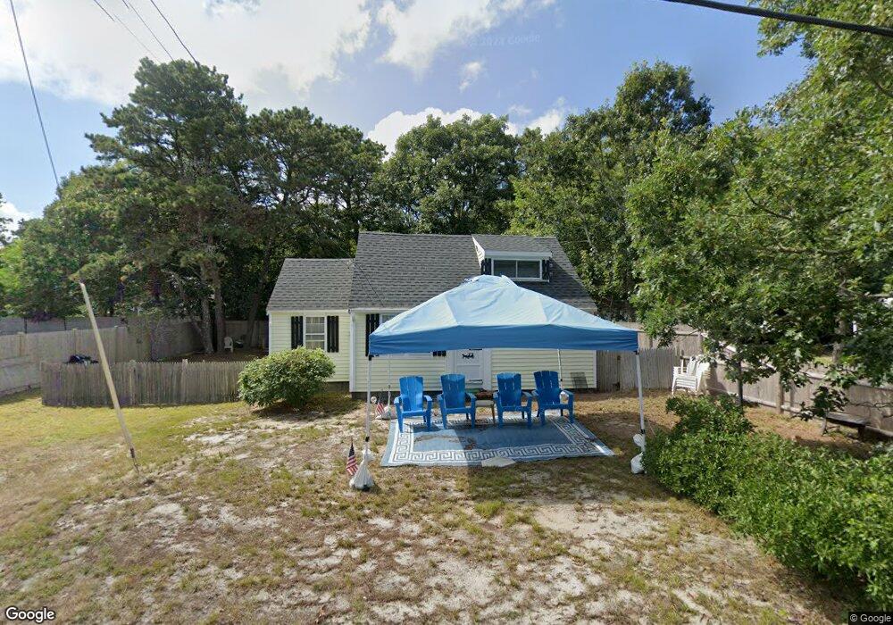
42-A Glendon Rd Dennis Port, MA 2639
Dennis Port NeighborhoodEstimated Value: $421,000 - $689,000
2
Beds
2
Baths
1,040
Sq Ft
$580/Sq Ft
Est. Value
About This Home
This home is located at 42-A Glendon Rd, Dennis Port, MA 2639 and is currently estimated at $602,771, approximately $579 per square foot. 42-A Glendon Rd is a home located in Barnstable County with nearby schools including Dennis-Yarmouth Regional High School and St. Pius X. School.
Ownership History
Date
Name
Owned For
Owner Type
Purchase Details
Closed on
Mar 16, 2021
Sold by
Donahue Shirley M and Donahue Stephen J
Bought by
S J & S M Donahue Irt
Current Estimated Value
Purchase Details
Closed on
Sep 15, 2005
Sold by
Gallant James J
Bought by
Page Darren and Page Laurie A
Home Financials for this Owner
Home Financials are based on the most recent Mortgage that was taken out on this home.
Original Mortgage
$282,150
Interest Rate
5.84%
Mortgage Type
Purchase Money Mortgage
Purchase Details
Closed on
Jul 9, 1998
Sold by
Gallant James J and Gallant Phyllis E
Bought by
Gallant James J
Home Financials for this Owner
Home Financials are based on the most recent Mortgage that was taken out on this home.
Original Mortgage
$19,000
Interest Rate
7.02%
Mortgage Type
Purchase Money Mortgage
Create a Home Valuation Report for This Property
The Home Valuation Report is an in-depth analysis detailing your home's value as well as a comparison with similar homes in the area
Home Values in the Area
Average Home Value in this Area
Purchase History
| Date | Buyer | Sale Price | Title Company |
|---|---|---|---|
| S J & S M Donahue Irt | -- | None Available | |
| Page Darren | $313,500 | -- | |
| Gallant James J | $104,000 | -- |
Source: Public Records
Mortgage History
| Date | Status | Borrower | Loan Amount |
|---|---|---|---|
| Previous Owner | Page Darren | $282,150 | |
| Previous Owner | Gallant James J | $100,000 | |
| Previous Owner | Gallant James J | $19,000 |
Source: Public Records
Tax History Compared to Growth
Tax History
| Year | Tax Paid | Tax Assessment Tax Assessment Total Assessment is a certain percentage of the fair market value that is determined by local assessors to be the total taxable value of land and additions on the property. | Land | Improvement |
|---|---|---|---|---|
| 2025 | $2,277 | $525,900 | $274,000 | $251,900 |
| 2024 | $2,273 | $517,800 | $263,500 | $254,300 |
| 2023 | $2,199 | $470,900 | $239,500 | $231,400 |
| 2022 | $2,013 | $359,500 | $188,800 | $170,700 |
| 2021 | $1,968 | $326,400 | $185,100 | $141,300 |
| 2020 | $1,903 | $312,000 | $185,100 | $126,900 |
| 2019 | $2,022 | $327,700 | $197,000 | $130,700 |
| 2018 | $1,903 | $300,100 | $187,600 | $112,500 |
| 2017 | $1,754 | $285,200 | $172,700 | $112,500 |
| 2016 | $1,669 | $255,600 | $162,900 | $92,700 |
| 2015 | $1,636 | $255,600 | $162,900 | $92,700 |
| 2014 | $1,585 | $249,600 | $153,000 | $96,600 |
Source: Public Records
Map
Nearby Homes
- 154 Old Wharf Rd Unit 26
- 154 Old Wharf Rd Unit 14
- 64 Beaten Rd
- 217 Old Wharf Rd Unit 64
- 112 Old Wharf Rd Unit E4
- 112 Old Wharf Rd Unit E1
- 37 Ocean Dr Unit 2
- 241 Old Wharf Rd Unit 82
- 241 Old Wharf Rd Unit 127
- 241 Old Wharf Rd Unit 90
- 120 Old Wharf Rd Unit 11
- 262 Old Wharf Rd Unit 67
- 262 Old Wharf Rd Unit 5
- 262 Old Wharf Rd Unit 5
- 262 Old Wharf Rd Unit 20
- 262 Old Wharf Rd Unit 87
- 37 Beach Hills Rd
- 37-A Beach Hills Rd
- 31 Easy St
- 80 Michaels Ave