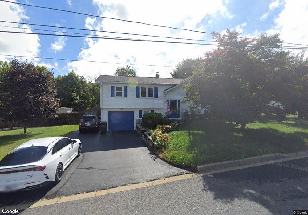
42 Acorn Ln West Warwick, RI 02893
Crompton NeighborhoodEstimated Value: $442,786 - $479,000
3
Beds
2
Baths
1,444
Sq Ft
$318/Sq Ft
Est. Value
About This Home
This home is located at 42 Acorn Ln, West Warwick, RI 02893 and is currently estimated at $458,947, approximately $317 per square foot. 42 Acorn Ln is a home located in Kent County with nearby schools including West Warwick High School and Father John V. Doyle School.
Ownership History
Date
Name
Owned For
Owner Type
Purchase Details
Closed on
Aug 25, 2009
Sold by
Biliouris Douglas K
Bought by
Biliouris Douglas K and Biliouris Lisa D
Current Estimated Value
Purchase Details
Closed on
Apr 20, 2001
Sold by
Cascella Carol A
Bought by
Biliouris Douglas K
Home Financials for this Owner
Home Financials are based on the most recent Mortgage that was taken out on this home.
Original Mortgage
$140,500
Interest Rate
6.9%
Create a Home Valuation Report for This Property
The Home Valuation Report is an in-depth analysis detailing your home's value as well as a comparison with similar homes in the area
Home Values in the Area
Average Home Value in this Area
Purchase History
| Date | Buyer | Sale Price | Title Company |
|---|---|---|---|
| Biliouris Douglas K | -- | -- | |
| Biliouris Douglas K | $148,500 | -- |
Source: Public Records
Mortgage History
| Date | Status | Borrower | Loan Amount |
|---|---|---|---|
| Open | Biliouris Douglas K | $75,070 | |
| Previous Owner | Biliouris Douglas K | $143,500 | |
| Previous Owner | Biliouris Douglas K | $144,000 | |
| Previous Owner | Biliouris Douglas K | $140,500 |
Source: Public Records
Tax History Compared to Growth
Tax History
| Year | Tax Paid | Tax Assessment Tax Assessment Total Assessment is a certain percentage of the fair market value that is determined by local assessors to be the total taxable value of land and additions on the property. | Land | Improvement |
|---|---|---|---|---|
| 2025 | $5,605 | $392,200 | $111,600 | $280,600 |
| 2024 | $5,549 | $296,900 | $88,200 | $208,700 |
| 2023 | $5,439 | $296,900 | $88,200 | $208,700 |
| 2022 | $5,356 | $296,900 | $88,200 | $208,700 |
| 2021 | $5,550 | $241,300 | $70,500 | $170,800 |
| 2020 | $5,550 | $241,300 | $70,500 | $170,800 |
| 2019 | $7,075 | $241,300 | $70,500 | $170,800 |
| 2018 | $4,838 | $178,000 | $68,500 | $109,500 |
| 2017 | $4,683 | $178,000 | $68,500 | $109,500 |
| 2016 | $4,600 | $178,000 | $68,500 | $109,500 |
| 2015 | $4,598 | $177,100 | $68,500 | $108,600 |
| 2014 | $4,471 | $176,100 | $68,500 | $107,600 |
Source: Public Records
Map
Nearby Homes
- 105 Scenic Dr
- 12 Longbow Dr
- 0 New London Turnpike
- 12 Whittier Dr
- 25 Wescott Way Unit 80
- 65 Angus St
- 194 Kimberly Ln
- 1 Hampton Rd Unit 27
- 19 Hampton Rd Unit 69
- 32 Wescott Way Unit 53
- 40 Wescott Way Unit 57
- 15 Hampton Rd Unit 20
- 99 Silverwood Ln
- 75 Esmond St Unit 1D
- 10 Minglewood Dr
- 0 James P Murphy Ind Hwy
- 215 Watch Hill Dr
- 125 Setian Ln
- 105 Watch Hill
- 40 E Greenwich Ave