42 Andover Ct Sharpsburg, GA 30277
Estimated Value: $341,000 - $411,000
3
Beds
3
Baths
2,008
Sq Ft
$184/Sq Ft
Est. Value
About This Home
This home is located at 42 Andover Ct, Sharpsburg, GA 30277 and is currently estimated at $369,835, approximately $184 per square foot. 42 Andover Ct is a home located in Coweta County with nearby schools including Poplar Road Elementary School, Lee Middle School, and East Coweta High School.
Ownership History
Date
Name
Owned For
Owner Type
Purchase Details
Closed on
Aug 23, 2004
Sold by
Isusana M Davie Reese Homes Inc
Bought by
Galvez Susan M
Current Estimated Value
Home Financials for this Owner
Home Financials are based on the most recent Mortgage that was taken out on this home.
Original Mortgage
$156,655
Outstanding Balance
$76,978
Interest Rate
5.97%
Mortgage Type
New Conventional
Estimated Equity
$292,857
Purchase Details
Closed on
Nov 13, 2003
Sold by
Reese Builders & Developers In
Bought by
David Reese Homes Inc
Purchase Details
Closed on
Mar 4, 1993
Bought by
Reese Builders & Developers Inc
Create a Home Valuation Report for This Property
The Home Valuation Report is an in-depth analysis detailing your home's value as well as a comparison with similar homes in the area
Home Values in the Area
Average Home Value in this Area
Purchase History
| Date | Buyer | Sale Price | Title Company |
|---|---|---|---|
| Galvez Susan M | $164,900 | -- | |
| David Reese Homes Inc | $325,000 | -- | |
| Reese Builders & Developers Inc | $197,800 | -- |
Source: Public Records
Mortgage History
| Date | Status | Borrower | Loan Amount |
|---|---|---|---|
| Open | Galvez Susan M | $156,655 |
Source: Public Records
Tax History Compared to Growth
Tax History
| Year | Tax Paid | Tax Assessment Tax Assessment Total Assessment is a certain percentage of the fair market value that is determined by local assessors to be the total taxable value of land and additions on the property. | Land | Improvement |
|---|---|---|---|---|
| 2025 | $3,235 | $136,926 | $28,000 | $108,926 |
| 2024 | $3,113 | $134,100 | $28,000 | $106,100 |
| 2023 | $3,113 | $126,518 | $18,000 | $108,518 |
| 2022 | $2,664 | $108,152 | $18,000 | $90,152 |
| 2021 | $2,486 | $94,449 | $18,000 | $76,449 |
| 2020 | $2,503 | $94,449 | $18,000 | $76,449 |
| 2019 | $2,246 | $76,731 | $10,000 | $66,731 |
| 2018 | $2,110 | $76,731 | $10,000 | $66,731 |
| 2017 | $1,983 | $72,425 | $8,000 | $64,425 |
| 2016 | $1,694 | $63,200 | $8,000 | $55,200 |
| 2015 | $1,668 | $63,200 | $8,000 | $55,200 |
| 2014 | $1,540 | $59,049 | $8,000 | $51,049 |
Source: Public Records
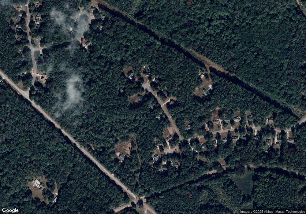
Map
Nearby Homes
- 2752 Poplar Rd
- 105 Turnberry Trace
- 108 Turnberry Trace
- 316 Winchester Dr
- 0 Poplar Rd Unit 10580891
- 25 Pacific Ave
- 9 Marvin Gardens
- 24 Marvin Gardens
- 68 Winchester Dr
- 2812 Highway 16 E
- Camden Plan at Candleberry Place
- Savannah Plan at Candleberry Place
- Briarwood Plan at Candleberry Place
- Newport Plan at Candleberry Place
- 5 Candleberry Way
- 162 Ashton Place
- 5 Riverside Dr
- 270 Sturgess Run
- 150 Riverside Dr
- 45 Riverside Walk
- 28 Andover Ct
- 56 Andover Ct
- 51 Andover Ct
- 41 Andover Ct
- 65 Andover Ct
- 69 Andover Ct
- 309 Winthrop Dr
- 70 Andover Ct
- 315 Winthrop Dr
- 72 Andover Ct
- 285 Winthrop Dr
- 320 Winthrop Dr
- 27 Andover Ct Unit C16
- 27 Andover Ct
- 269 Winthrop Dr Unit B-17
- 269 Winthrop Dr
- 316 Winthrop Dr
- 290 Winthrop Dr
- 261 Winthrop Dr
- 312 Winthrop Dr