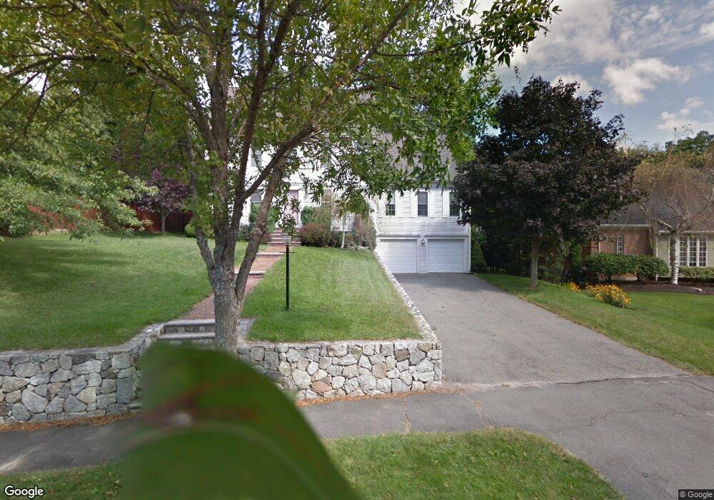
42 Andrews Rd Wakefield, MA 01880
Montrose NeighborhoodEstimated Value: $975,248 - $1,063,000
3
Beds
2
Baths
2,384
Sq Ft
$431/Sq Ft
Est. Value
About This Home
This home is located at 42 Andrews Rd, Wakefield, MA 01880 and is currently estimated at $1,028,312, approximately $431 per square foot. 42 Andrews Rd is a home located in Middlesex County with nearby schools including Wakefield Memorial High School, Odyssey Day School, and St Joseph School.
Create a Home Valuation Report for This Property
The Home Valuation Report is an in-depth analysis detailing your home's value as well as a comparison with similar homes in the area
Home Values in the Area
Average Home Value in this Area
Tax History Compared to Growth
Tax History
| Year | Tax Paid | Tax Assessment Tax Assessment Total Assessment is a certain percentage of the fair market value that is determined by local assessors to be the total taxable value of land and additions on the property. | Land | Improvement |
|---|---|---|---|---|
| 2025 | $9,817 | $864,900 | $383,400 | $481,500 |
| 2024 | $9,558 | $849,600 | $376,600 | $473,000 |
| 2023 | $9,610 | $819,300 | $363,200 | $456,100 |
| 2022 | $9,346 | $758,600 | $336,300 | $422,300 |
| 2021 | $8,838 | $694,300 | $283,500 | $410,800 |
| 2020 | $8,417 | $659,100 | $269,100 | $390,000 |
| 2019 | $7,928 | $617,900 | $252,300 | $365,600 |
| 2018 | $7,697 | $594,400 | $242,700 | $351,700 |
| 2017 | $7,668 | $588,500 | $240,300 | $348,200 |
| 2016 | $7,241 | $536,800 | $229,300 | $307,500 |
| 2015 | $6,826 | $506,400 | $216,300 | $290,100 |
| 2014 | $6,472 | $506,400 | $216,300 | $290,100 |
Source: Public Records
Map
Nearby Homes
- 9 Nelson Ave
- 14 Sycamore Rd
- 11 Wilson Ave
- 314 Water St Unit 5
- 6 Blue Jay Cir Unit 2
- 1 Millbrook Ln Unit 304
- 3 Garden Ln
- 18 Walton St
- 199 Nahant St
- 9 Lilah Cir
- 13 Highland St
- 201 Water St
- 16 Pleasant St
- 134 Nahant St Unit B
- 35 Richardson St Unit 2
- 22 Wayland Rd
- 22 Jefferson Rd
- 38 Bennett St Unit 3D
- 51 Crescent St
- 24 Park St