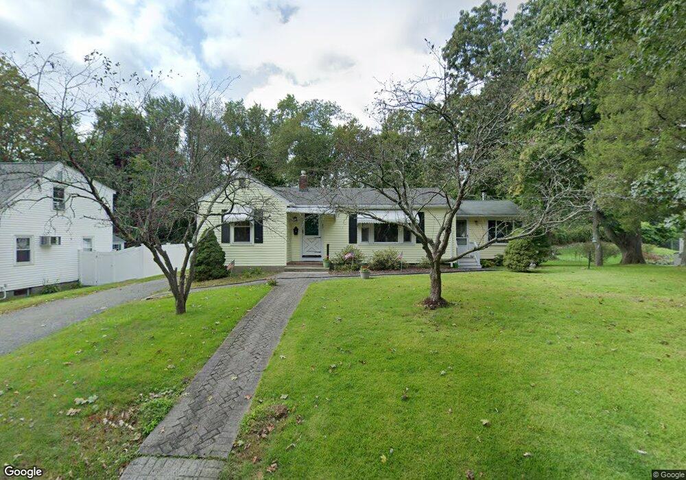
42 Arcadia Ave Waltham, MA 02452
North Waltham NeighborhoodEstimated Value: $798,000 - $956,000
2
Beds
1
Bath
1,560
Sq Ft
$557/Sq Ft
Est. Value
About This Home
This home is located at 42 Arcadia Ave, Waltham, MA 02452 and is currently estimated at $869,371, approximately $557 per square foot. 42 Arcadia Ave is a home located in Middlesex County with nearby schools including Northeast Elementary School, John F Kennedy Middle School, and Waltham Sr High School.
Ownership History
Date
Name
Owned For
Owner Type
Purchase Details
Closed on
Dec 31, 2024
Sold by
Walsh William G
Bought by
William G Walsh Irt and Fitzpatrick
Current Estimated Value
Purchase Details
Closed on
May 5, 1997
Sold by
Walsh David A and Walsh Kenneth J
Bought by
Walsh William G
Home Financials for this Owner
Home Financials are based on the most recent Mortgage that was taken out on this home.
Original Mortgage
$125,000
Interest Rate
7.85%
Mortgage Type
Purchase Money Mortgage
Purchase Details
Closed on
Jan 14, 1992
Sold by
Walsh Mary M
Bought by
Walsh William G and Walsh Daid A
Create a Home Valuation Report for This Property
The Home Valuation Report is an in-depth analysis detailing your home's value as well as a comparison with similar homes in the area
Home Values in the Area
Average Home Value in this Area
Purchase History
| Date | Buyer | Sale Price | Title Company |
|---|---|---|---|
| William G Walsh Irt | -- | None Available | |
| William G Walsh Irt | -- | None Available | |
| William G Walsh Irt | -- | None Available | |
| Walsh William G | $116,666 | -- | |
| Walsh William G | $175,000 | -- |
Source: Public Records
Mortgage History
| Date | Status | Borrower | Loan Amount |
|---|---|---|---|
| Previous Owner | Walsh William G | $124,500 | |
| Previous Owner | Walsh William G | $125,000 |
Source: Public Records
Tax History Compared to Growth
Tax History
| Year | Tax Paid | Tax Assessment Tax Assessment Total Assessment is a certain percentage of the fair market value that is determined by local assessors to be the total taxable value of land and additions on the property. | Land | Improvement |
|---|---|---|---|---|
| 2025 | $7,052 | $718,100 | $489,500 | $228,600 |
| 2024 | $6,682 | $693,200 | $466,600 | $226,600 |
| 2023 | $6,616 | $641,100 | $424,200 | $216,900 |
| 2022 | $6,946 | $623,500 | $415,700 | $207,800 |
| 2021 | $7,450 | $596,500 | $398,700 | $197,800 |
| 2020 | $6,624 | $554,300 | $373,300 | $181,000 |
| 2019 | $6,488 | $512,500 | $357,300 | $155,200 |
| 2018 | $6,690 | $466,700 | $330,900 | $135,800 |
| 2017 | $6,397 | $437,000 | $301,200 | $135,800 |
| 2016 | $5,192 | $424,200 | $288,400 | $135,800 |
| 2015 | $5,041 | $383,900 | $258,800 | $125,100 |
Source: Public Records
Map
Nearby Homes
- 14 Mallard Way
- 38 Van Vechten St
- 9 Stanley Rd
- 100 Shirley Rd
- 26 Brookfield Rd
- 51 S Cottage Rd Unit 112
- 5 Meadows Ln Unit 105
- 34 Woodbine Rd
- 600 Trapelo Rd Unit 1
- 85 Rosewood Dr
- 155 Marguerite Ave
- 25 Moraine St Unit 25
- 135 Marsh St
- 21 Circle Dr
- 220 Sycamore St
- 36 Hollace St
- 53 Crestview Rd
- 236 Sycamore St
- 253 Sycamore St Unit 253
- 1 Bridgham Ave