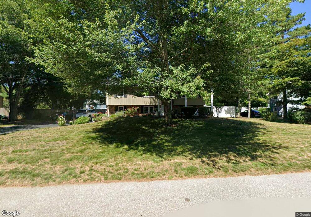
42 Armstrong Dr North Attleboro, MA 02760
Estimated Value: $547,087 - $610,000
3
Beds
2
Baths
1,184
Sq Ft
$499/Sq Ft
Est. Value
About This Home
This home is located at 42 Armstrong Dr, North Attleboro, MA 02760 and is currently estimated at $590,272, approximately $498 per square foot. 42 Armstrong Dr is a home located in Bristol County with nearby schools including North Attleboro High School, Cadence Academy Preschool - North Attleborough, and St John The Evangelist School.
Ownership History
Date
Name
Owned For
Owner Type
Purchase Details
Closed on
Feb 27, 1989
Sold by
Spooner Russell E
Bought by
Lucia David W
Current Estimated Value
Home Financials for this Owner
Home Financials are based on the most recent Mortgage that was taken out on this home.
Original Mortgage
$123,000
Interest Rate
10.75%
Mortgage Type
Purchase Money Mortgage
Create a Home Valuation Report for This Property
The Home Valuation Report is an in-depth analysis detailing your home's value as well as a comparison with similar homes in the area
Home Values in the Area
Average Home Value in this Area
Purchase History
| Date | Buyer | Sale Price | Title Company |
|---|---|---|---|
| Lucia David W | $158,000 | -- |
Source: Public Records
Mortgage History
| Date | Status | Borrower | Loan Amount |
|---|---|---|---|
| Closed | Lucia David W | $123,000 | |
| Previous Owner | Lucia David W | $22,100 |
Source: Public Records
Tax History Compared to Growth
Tax History
| Year | Tax Paid | Tax Assessment Tax Assessment Total Assessment is a certain percentage of the fair market value that is determined by local assessors to be the total taxable value of land and additions on the property. | Land | Improvement |
|---|---|---|---|---|
| 2025 | $5,708 | $484,100 | $150,800 | $333,300 |
| 2024 | $5,386 | $466,700 | $150,800 | $315,900 |
| 2023 | $5,574 | $435,800 | $150,800 | $285,000 |
| 2022 | $5,373 | $385,700 | $150,800 | $234,900 |
| 2021 | $5,246 | $367,600 | $150,800 | $216,800 |
| 2020 | $5,103 | $355,600 | $150,800 | $204,800 |
| 2019 | $4,869 | $341,900 | $137,100 | $204,800 |
| 2018 | $4,334 | $324,900 | $137,100 | $187,800 |
| 2017 | $4,138 | $313,000 | $137,100 | $175,900 |
| 2016 | $4,049 | $306,300 | $152,300 | $154,000 |
| 2015 | $3,775 | $287,300 | $152,300 | $135,000 |
| 2014 | $3,581 | $270,500 | $133,700 | $136,800 |
Source: Public Records
Map
Nearby Homes
- 255 Mckeon Dr
- 11 Buckthorn Ln
- 115 Westfield Dr
- 196 Donald Tennant Cir
- 21 Shady Ln
- 20 Sperry Ln
- 150 Gilbert St
- 57 Vine St
- 11 Landry Ave
- 451R Gilbert St
- 747 N Main St
- 678 N Main St
- 71 Richardson Ave
- 10 Hazelwood Ct
- 59 Laurelwood Dr
- Lot 2 Jeffrey Dr
- 158 Ivy St
- Lot 5 Jeffrey Dr
- 136 Lindsey St
- 12 Houde St