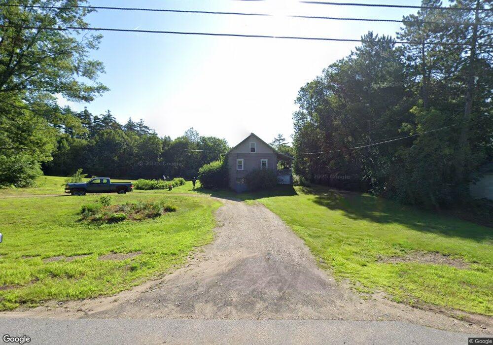
42 Bennett Rd Alfred, ME 04002
Estimated Value: $291,874 - $393,000
3
Beds
3
Baths
621
Sq Ft
$539/Sq Ft
Est. Value
About This Home
This home is located at 42 Bennett Rd, Alfred, ME 04002 and is currently estimated at $334,969, approximately $539 per square foot. 42 Bennett Rd is a home located in York County with nearby schools including Massabesic High School, St Thomas Consolidated School, and Sanford Christian Academy.
Ownership History
Date
Name
Owned For
Owner Type
Purchase Details
Closed on
Apr 2, 2020
Sold by
Orzechowski Kimberly E
Bought by
Orzechowski Kimberly E and Gerry Keith
Current Estimated Value
Home Financials for this Owner
Home Financials are based on the most recent Mortgage that was taken out on this home.
Original Mortgage
$110,000
Outstanding Balance
$85,988
Interest Rate
3.2%
Mortgage Type
New Conventional
Estimated Equity
$248,981
Create a Home Valuation Report for This Property
The Home Valuation Report is an in-depth analysis detailing your home's value as well as a comparison with similar homes in the area
Home Values in the Area
Average Home Value in this Area
Purchase History
| Date | Buyer | Sale Price | Title Company |
|---|---|---|---|
| Orzechowski Kimberly E | -- | None Available |
Source: Public Records
Mortgage History
| Date | Status | Borrower | Loan Amount |
|---|---|---|---|
| Open | Orzechowski Kimberly E | $110,000 |
Source: Public Records
Tax History
| Year | Tax Paid | Tax Assessment Tax Assessment Total Assessment is a certain percentage of the fair market value that is determined by local assessors to be the total taxable value of land and additions on the property. | Land | Improvement |
|---|---|---|---|---|
| 2025 | $2,478 | $256,797 | $149,000 | $107,797 |
| 2024 | $2,427 | $256,797 | $149,000 | $107,797 |
| 2023 | $2,218 | $118,000 | $78,600 | $39,400 |
| 2022 | $2,124 | $118,000 | $78,600 | $39,400 |
| 2021 | $2,036 | $118,000 | $78,600 | $39,400 |
| 2020 | $4,117 | $118,000 | $78,600 | $39,400 |
| 2019 | $3,824 | $118,000 | $78,600 | $39,400 |
| 2018 | $3,700 | $118,000 | $78,600 | $39,400 |
| 2017 | $3,903 | $118,000 | $78,600 | $39,400 |
| 2016 | $1,788 | $118,000 | $78,600 | $39,400 |
| 2015 | $1,711 | $118,000 | $78,600 | $39,400 |
| 2014 | $1,682 | $118,000 | $78,600 | $39,400 |
| 2013 | $1,623 | $118,000 | $78,600 | $39,400 |
Source: Public Records
Map
Nearby Homes
- Lot 35 Bennett Rd
- 58 Sanford Rd
- 0 Sanford Rd
- 8 Hummingbird Ln
- 34 Cascade Cir Unit 30
- TBD Bernier Rd
- TBD1 Bernier Rd
- 147 Ridley Rd
- 10 George Ave
- R6-41-S5 Ridley Rd
- R6-41-S6 Ridley Rd
- 72 Bateman St
- 232 Waterboro Rd
- Lot 650 Gebung Rd
- 23 Branch View Terrace N
- TBD Branch View Terrace Unit Lot 5
- TBD Branch View Terrace Unit Lot 4
- Lot B Bernier Rd
- Lot A Bernier Rd
- 87 Drown Rd
Your Personal Tour Guide
Ask me questions while you tour the home.