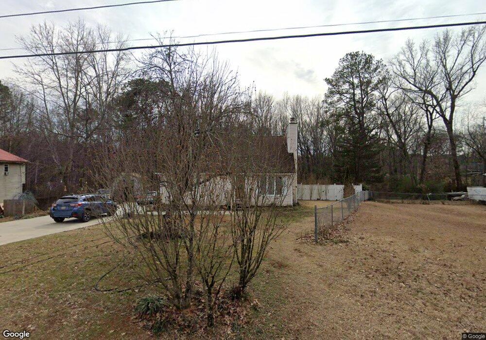
42 Bluebird Dr Dallas, GA 30157
Estimated Value: $270,000 - $321,561
3
Beds
2
Baths
1,665
Sq Ft
$174/Sq Ft
Est. Value
About This Home
This home is located at 42 Bluebird Dr, Dallas, GA 30157 and is currently estimated at $289,890, approximately $174 per square foot. 42 Bluebird Dr is a home located in Paulding County with nearby schools including Allgood Elementary School, South Paulding Middle School, and Paulding County High School.
Ownership History
Date
Name
Owned For
Owner Type
Purchase Details
Closed on
May 14, 1998
Sold by
Byers Terri
Bought by
Alva Danny and Alva Tina
Current Estimated Value
Home Financials for this Owner
Home Financials are based on the most recent Mortgage that was taken out on this home.
Original Mortgage
$77,500
Outstanding Balance
$15,288
Interest Rate
7.21%
Mortgage Type
VA
Estimated Equity
$274,602
Purchase Details
Closed on
May 19, 1995
Sold by
Evans Robert Susan
Bought by
Byers Terri
Create a Home Valuation Report for This Property
The Home Valuation Report is an in-depth analysis detailing your home's value as well as a comparison with similar homes in the area
Home Values in the Area
Average Home Value in this Area
Purchase History
| Date | Buyer | Sale Price | Title Company |
|---|---|---|---|
| Alva Danny | $76,000 | -- | |
| Byers Terri | $15,000 | -- |
Source: Public Records
Mortgage History
| Date | Status | Borrower | Loan Amount |
|---|---|---|---|
| Open | Alva Danny | $77,500 | |
| Closed | Byers Terri | $0 |
Source: Public Records
Tax History Compared to Growth
Tax History
| Year | Tax Paid | Tax Assessment Tax Assessment Total Assessment is a certain percentage of the fair market value that is determined by local assessors to be the total taxable value of land and additions on the property. | Land | Improvement |
|---|---|---|---|---|
| 2024 | $726 | $109,328 | $12,000 | $97,328 |
| 2023 | $2,582 | $101,556 | $12,000 | $89,556 |
| 2022 | $2,208 | $86,560 | $12,000 | $74,560 |
| 2021 | $1,909 | $67,564 | $8,000 | $59,564 |
| 2020 | $1,876 | $65,000 | $8,000 | $57,000 |
| 2019 | $1,488 | $51,236 | $8,000 | $43,236 |
| 2018 | $1,458 | $50,248 | $6,000 | $44,248 |
| 2017 | $1,464 | $49,776 | $6,000 | $43,776 |
| 2016 | $1,204 | $41,683 | $6,000 | $35,683 |
| 2015 | $1,115 | $38,080 | $6,000 | $32,080 |
| 2014 | $732 | $25,046 | $6,000 | $19,046 |
| 2013 | -- | $21,320 | $6,000 | $15,320 |
Source: Public Records
Map
Nearby Homes
- 16 Bluebird Dr
- 50 Bluebird Dr
- 66 Bluebird Dr
- 401 Hart Rd
- 71 Bluebird Dr
- 453 Hart Rd
- 90 Bluebird Dr
- 377 Hart Rd Unit 1
- 83 Bluebird Dr
- 469 Hart Rd
- 104 Bluebird Dr
- 15 Quail Run Ct
- 0 Hart Rd Unit 3270708
- 0 Hart Rd Unit 3189849
- 0 Hart Rd Unit 8627288
- LOT 1 Hart Rd
- LOT 2 Hart Rd
- 33 Quail Run Ct
- 122 Bluebird Dr
- 503 Hart Rd