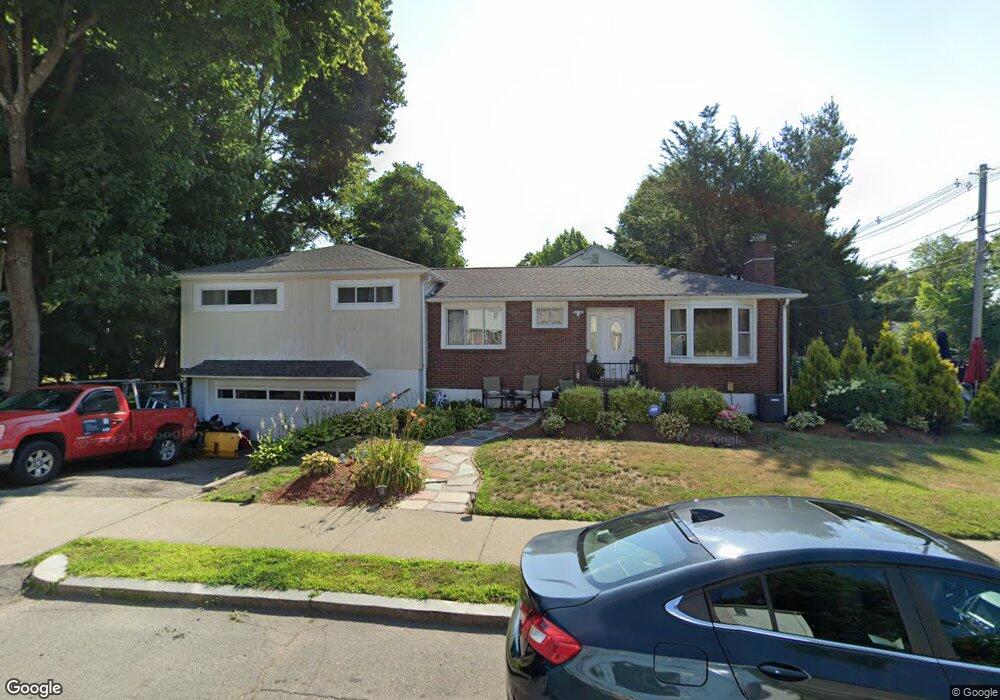
42 Boylston Rd Newton Highlands, MA 02461
Newton Highlands NeighborhoodEstimated Value: $720,000 - $1,449,000
3
Beds
3
Baths
1,818
Sq Ft
$540/Sq Ft
Est. Value
About This Home
This home is located at 42 Boylston Rd, Newton Highlands, MA 02461 and is currently estimated at $981,995, approximately $540 per square foot. 42 Boylston Rd is a home located in Middlesex County with nearby schools including Zervas Elementary School, Oak Hill Middle School, and Newton South High School.
Ownership History
Date
Name
Owned For
Owner Type
Purchase Details
Closed on
Jun 29, 2016
Sold by
Lombardo George and Lombardo Michael
Bought by
Trifiletti Robert and Lombardo-Trifiletti Maria
Current Estimated Value
Purchase Details
Closed on
Jun 12, 2008
Sold by
Blt Llc
Bought by
Lombardo George and Bazzari Gina
Purchase Details
Closed on
Jan 4, 2005
Sold by
Belinsky Nancy and Castaldo Nancy
Bought by
Lombardo George and Bazzari Gina
Home Financials for this Owner
Home Financials are based on the most recent Mortgage that was taken out on this home.
Original Mortgage
$322,000
Interest Rate
5.73%
Mortgage Type
Purchase Money Mortgage
Create a Home Valuation Report for This Property
The Home Valuation Report is an in-depth analysis detailing your home's value as well as a comparison with similar homes in the area
Home Values in the Area
Average Home Value in this Area
Purchase History
| Date | Buyer | Sale Price | Title Company |
|---|---|---|---|
| Trifiletti Robert | $360,000 | -- | |
| Lombardo George | -- | -- | |
| Lombardo George | $402,500 | -- |
Source: Public Records
Mortgage History
| Date | Status | Borrower | Loan Amount |
|---|---|---|---|
| Previous Owner | Lombardo George | $322,000 |
Source: Public Records
Tax History Compared to Growth
Tax History
| Year | Tax Paid | Tax Assessment Tax Assessment Total Assessment is a certain percentage of the fair market value that is determined by local assessors to be the total taxable value of land and additions on the property. | Land | Improvement |
|---|---|---|---|---|
| 2025 | $5,687 | $580,300 | $0 | $0 |
| 2024 | $5,499 | $0 | $0 | $0 |
| 2023 | $5,208 | $511,600 | $452,300 | $59,300 |
| 2022 | $4,983 | $473,700 | $418,800 | $54,900 |
| 2021 | $4,809 | $446,900 | $395,100 | $51,800 |
| 2020 | $4,666 | $446,900 | $395,100 | $51,800 |
| 2019 | $4,534 | $433,900 | $383,600 | $50,300 |
| 2018 | $4,315 | $398,800 | $345,700 | $53,100 |
| 2017 | $4,183 | $376,200 | $326,100 | $50,100 |
| 2016 | $4,001 | $351,600 | $304,800 | $46,800 |
| 2015 | $3,815 | $328,600 | $284,900 | $43,700 |
Source: Public Records
Map
Nearby Homes
- 1597 Centre St Unit 1597
- 1597 Centre St
- 1623-1625 Centre St
- 1629 Centre St
- 56 Cloverdale Rd
- 1292 Walnut St
- 1308 Walnut St
- 125 Oakdale Rd
- 1151 Walnut St Unit 205
- 1151 Walnut St Unit 405
- 1151 Walnut St Unit 207
- 671 Boylston St
- 42 Sunhill Ln
- 625 Boylston St
- 628 Boylston St
- 2 Raeburn Terrace
- 5 Halcyon Rd
- 3 Glenmore Terrace Unit 2
- 116 Upland Ave
- 19 Selwyn Rd
- 42 Boylston Rd Unit 42
- 795 Boylston St
- 781 Boylston St Unit 3
- 36 Boylston Rd
- 41 Boylston Rd
- 41 Boylston Rd Unit 1
- 39 Boylston Rd Unit 41
- 53 Aberdeen St
- 45 Aberdeen St
- 41 Aberdeen St Unit 2
- 41 Aberdeen St Unit 1
- 30 Boylston Rd
- 29 Boylston Rd
- 1246 Walnut St Unit 1248
- 1248 Walnut St
- 1248 Walnut St
- 29 Boylston Rd - Side St
- 35 Aberdeen St Unit 35
- 35 Aberdeen St
- 35 Aberdeen St