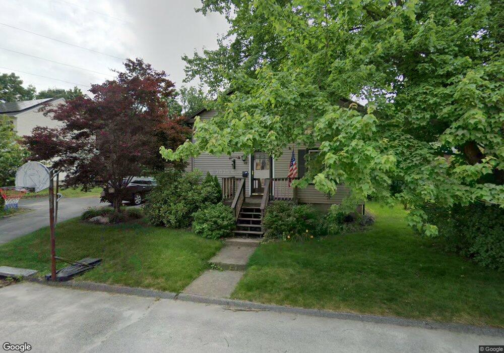
42 Burghardt St Worcester, MA 01604
Broadmeadow Brook NeighborhoodEstimated Value: $321,000 - $401,000
4
Beds
1
Bath
1,149
Sq Ft
$327/Sq Ft
Est. Value
About This Home
This home is located at 42 Burghardt St, Worcester, MA 01604 and is currently estimated at $375,445, approximately $326 per square foot. 42 Burghardt St is a home located in Worcester County with nearby schools including Roosevelt Elementary School, Jacob Hiatt Magnet School, and Chandler Magnet.
Create a Home Valuation Report for This Property
The Home Valuation Report is an in-depth analysis detailing your home's value as well as a comparison with similar homes in the area
Home Values in the Area
Average Home Value in this Area
Tax History
| Year | Tax Paid | Tax Assessment Tax Assessment Total Assessment is a certain percentage of the fair market value that is determined by local assessors to be the total taxable value of land and additions on the property. | Land | Improvement |
|---|---|---|---|---|
| 2025 | $4,759 | $360,800 | $118,000 | $242,800 |
| 2024 | $4,572 | $332,500 | $118,000 | $214,500 |
| 2023 | $4,382 | $305,600 | $102,600 | $203,000 |
| 2022 | $4,023 | $264,500 | $82,100 | $182,400 |
| 2021 | $3,818 | $234,500 | $65,700 | $168,800 |
| 2020 | $3,648 | $214,600 | $65,700 | $148,900 |
| 2019 | $3,503 | $194,600 | $59,100 | $135,500 |
| 2018 | $3,500 | $185,100 | $59,100 | $126,000 |
| 2017 | $3,048 | $158,600 | $59,100 | $99,500 |
| 2016 | $2,958 | $143,500 | $43,100 | $100,400 |
| 2015 | $2,880 | $143,500 | $43,100 | $100,400 |
| 2014 | $2,804 | $143,500 | $43,100 | $100,400 |
Source: Public Records
Map
Nearby Homes
- 12 Bruce St
- 1195 Grafton St Unit 29
- 1195 Grafton St Unit 19
- 1195 Grafton St Unit 39
- 7 Clarissa St
- 6 Nathaniel St
- 9 Marissa Cir
- 1459 Grafton Rd
- 2 Salisbury St
- 7 Barbara St
- 11 Maplewood Rd
- 330 Sunderland Rd Unit 80
- 15 Lakeside Dr
- 47 Pointe Rok Dr Unit 47,G
- 62 Edgemere Blvd
- 365 Lake Ave
- 25 Stoneham Rd
- 8 Nightview Place
- 266 Massasoit Rd
- 12 Irene Ct
Your Personal Tour Guide
Ask me questions while you tour the home.