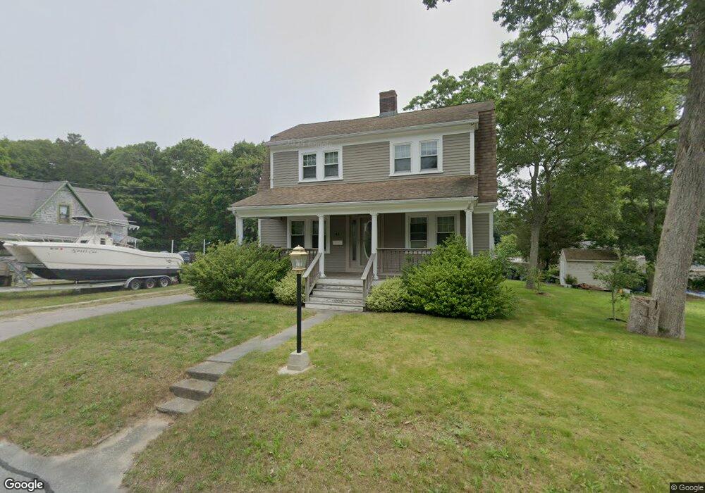
42 Buzzards Bay Ave Bourne, MA 2532
Buzzards Bay NeighborhoodEstimated Value: $526,000 - $650,617
3
Beds
2
Baths
1,560
Sq Ft
$374/Sq Ft
Est. Value
About This Home
This home is located at 42 Buzzards Bay Ave, Bourne, MA 2532 and is currently estimated at $582,904, approximately $373 per square foot. 42 Buzzards Bay Ave is a home located in Barnstable County with nearby schools including Bourne High School and St Margaret Regional School.
Ownership History
Date
Name
Owned For
Owner Type
Purchase Details
Closed on
Sep 28, 2015
Sold by
Tyler Martin S and Tyler Paula M
Bought by
Pires Celestino and Pires Maria H
Current Estimated Value
Purchase Details
Closed on
Dec 19, 2003
Sold by
Parady Robert W and Johnson Ralph M
Bought by
Tyler Martin S and Tyler Paula M
Home Financials for this Owner
Home Financials are based on the most recent Mortgage that was taken out on this home.
Original Mortgage
$184,000
Interest Rate
5.96%
Mortgage Type
Purchase Money Mortgage
Create a Home Valuation Report for This Property
The Home Valuation Report is an in-depth analysis detailing your home's value as well as a comparison with similar homes in the area
Home Values in the Area
Average Home Value in this Area
Purchase History
| Date | Buyer | Sale Price | Title Company |
|---|---|---|---|
| Pires Celestino | $275,000 | -- | |
| Pires Celestino | $275,000 | -- | |
| Tyler Martin S | $230,000 | -- | |
| Tyler Martin S | $230,000 | -- |
Source: Public Records
Mortgage History
| Date | Status | Borrower | Loan Amount |
|---|---|---|---|
| Previous Owner | Tyler Martin S | $184,000 | |
| Previous Owner | Tyler Martin S | $46,000 |
Source: Public Records
Tax History Compared to Growth
Tax History
| Year | Tax Paid | Tax Assessment Tax Assessment Total Assessment is a certain percentage of the fair market value that is determined by local assessors to be the total taxable value of land and additions on the property. | Land | Improvement |
|---|---|---|---|---|
| 2025 | $4,293 | $549,700 | $197,700 | $352,000 |
| 2024 | $4,199 | $523,600 | $188,200 | $335,400 |
| 2023 | $3,820 | $433,600 | $133,300 | $300,300 |
| 2022 | $3,597 | $356,500 | $117,900 | $238,600 |
| 2021 | $3,536 | $328,300 | $107,300 | $221,000 |
| 2020 | $3,426 | $319,000 | $106,300 | $212,700 |
| 2019 | $3,253 | $309,500 | $106,300 | $203,200 |
| 2018 | $3,126 | $296,600 | $101,300 | $195,300 |
| 2017 | $2,916 | $283,100 | $100,300 | $182,800 |
| 2016 | $2,845 | $280,000 | $100,300 | $179,700 |
| 2015 | $2,820 | $280,000 | $100,300 | $179,700 |
Source: Public Records
Map
Nearby Homes
- 34 Washington Ave
- 3 Wolf Rd
- 151 - 153 Main St
- 56 Rip Van Winkle Way
- 46 Holt Rd
- 46 Holt Rd Unit A
- 17 Maple St
- 41 Lewis Point Rd
- 0 Lewis Point Rd
- 65 Lewis Point Rd
- 73 Lewis Point Rd
- 162 Puritan Rd
- 171 Puritan Rd
- 304 Main St
- 38 Old Bridge Rd
- 1 Pine Tree Dr
- 18 Martin St
- 3 Fairway Dr Unit F
- 27 Baker Ln Unit 27H
- 9 Hideaway Rd Unit F
- 42 Buzzards Bay Ave
- 42 Buzzards Bay Ave
- 42 Buzzards Bay Ave Unit 1
- 41 Wilson Ave
- 39 Wilson Ave
- 44 Wilson Ave
- 44 Wilson Ave
- 43 Wilson Ave
- 50 Buzzards Bay Ave
- 50 Buzzards Bay Ave
- 42 Wilson Ave
- 42 Wilson Ave
- 38 Buzzards Bay Ave
- 38 Buzzards Bay Ave
- 38 Buzzards Bay Ave
- 38 Buzzards Bay Ave
- 48 Wilson Ave
- 40 Wilson Ave
- 36 Wilson Ave
- 40 Wilson Ave