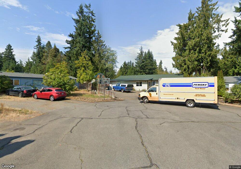
42 Cedar Ct Port Hadlock, WA 98339
Port Hadlock-Irondale NeighborhoodEstimated Value: $401,000 - $521,000
4
Beds
3
Baths
1,376
Sq Ft
$325/Sq Ft
Est. Value
About This Home
This home is located at 42 Cedar Ct, Port Hadlock, WA 98339 and is currently estimated at $447,344, approximately $325 per square foot. 42 Cedar Ct is a home located in Jefferson County with nearby schools including Chimacum Creek Primary School, Chimacum Elementary School, and Chimacum School Pi Program.
Ownership History
Date
Name
Owned For
Owner Type
Purchase Details
Closed on
Aug 25, 2006
Sold by
Johnson David K and Johnson Donna C
Bought by
Johnson David K
Current Estimated Value
Home Financials for this Owner
Home Financials are based on the most recent Mortgage that was taken out on this home.
Original Mortgage
$45,000
Interest Rate
6.76%
Mortgage Type
Stand Alone Second
Create a Home Valuation Report for This Property
The Home Valuation Report is an in-depth analysis detailing your home's value as well as a comparison with similar homes in the area
Home Values in the Area
Average Home Value in this Area
Purchase History
| Date | Buyer | Sale Price | Title Company |
|---|---|---|---|
| Johnson David K | $84,000 | None Available |
Source: Public Records
Mortgage History
| Date | Status | Borrower | Loan Amount |
|---|---|---|---|
| Closed | Johnson David K | $45,000 |
Source: Public Records
Tax History Compared to Growth
Tax History
| Year | Tax Paid | Tax Assessment Tax Assessment Total Assessment is a certain percentage of the fair market value that is determined by local assessors to be the total taxable value of land and additions on the property. | Land | Improvement |
|---|---|---|---|---|
| 2024 | $2,579 | $315,412 | $99,750 | $215,662 |
| 2023 | $2,388 | $295,859 | $90,000 | $205,859 |
| 2022 | $2,148 | $257,501 | $85,000 | $172,501 |
| 2021 | $2,117 | $236,423 | $76,700 | $159,723 |
| 2020 | $1,955 | $219,114 | $70,800 | $148,314 |
| 2019 | $1,775 | $196,101 | $64,900 | $131,201 |
| 2018 | $1,950 | $178,792 | $59,000 | $119,792 |
| 2017 | $1,721 | $173,088 | $59,000 | $114,088 |
| 2016 | $1,714 | $162,772 | $50,000 | $112,772 |
| 2015 | $1,739 | $162,772 | $50,000 | $112,772 |
| 2014 | -- | $167,772 | $55,000 | $112,772 |
| 2013 | -- | $152,520 | $50,000 | $102,520 |
Source: Public Records
Map
Nearby Homes
- 0 E Eugene St
- 52 E Moore St
- 781 Irondale Rd
- 371 E Price St
- 13 Loretta Ln
- 12 Loretta Ln
- 31 Petes Spur
- 51 Thomas Dr
- 31 2nd St
- 1210 Irondale Rd
- 611 Cedar Ave Unit 51
- 611 Cedar Ave Unit 33
- 611 Cedar Ave Unit 62
- 0 NKA C St
- 0 N Andrew Ave
- 32 S Duquesne Ave
- 0 S Duquesne Ave
- 0 901024068 Unit NWM2387187
- 0 901024068 Unit Port Hadlock WA 9833
- 174 E Island View Ave