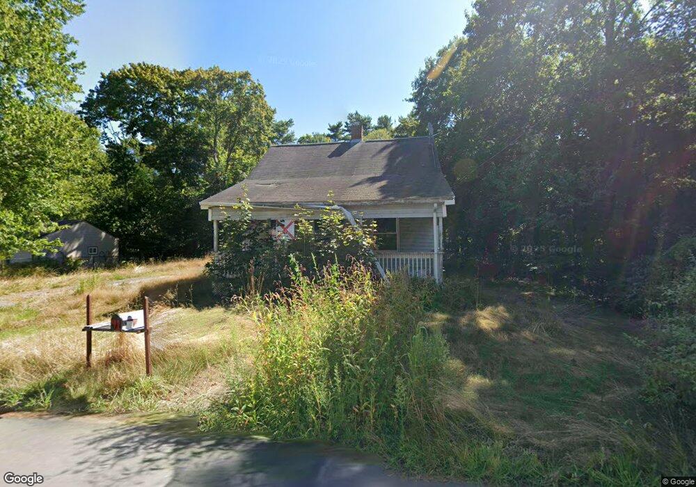
42 Cherry St Middleboro, MA 02346
Estimated Value: $411,000 - $495,000
2
Beds
1
Bath
1,056
Sq Ft
$419/Sq Ft
Est. Value
About This Home
This home is located at 42 Cherry St, Middleboro, MA 02346 and is currently estimated at $442,024, approximately $418 per square foot. 42 Cherry St is a home located in Plymouth County with nearby schools including Mary K. Goode Elementary School and Samuel Fuller School.
Ownership History
Date
Name
Owned For
Owner Type
Purchase Details
Closed on
Dec 2, 2015
Sold by
Roberio Diane
Bought by
Us Bank Na Tr
Current Estimated Value
Purchase Details
Closed on
Oct 5, 2010
Sold by
Roberio Diane M
Bought by
Us Bk
Purchase Details
Closed on
Nov 18, 2004
Sold by
Howard Muriel A
Bought by
Roberio David J and Roberio Diane M
Home Financials for this Owner
Home Financials are based on the most recent Mortgage that was taken out on this home.
Original Mortgage
$178,500
Interest Rate
5.8%
Mortgage Type
Purchase Money Mortgage
Create a Home Valuation Report for This Property
The Home Valuation Report is an in-depth analysis detailing your home's value as well as a comparison with similar homes in the area
Home Values in the Area
Average Home Value in this Area
Purchase History
| Date | Buyer | Sale Price | Title Company |
|---|---|---|---|
| Us Bank Na Tr | $431,083 | -- | |
| Us Bk | $140,000 | -- | |
| Roberio David J | $275,000 | -- |
Source: Public Records
Mortgage History
| Date | Status | Borrower | Loan Amount |
|---|---|---|---|
| Previous Owner | Roberio David J | $240,000 | |
| Previous Owner | Roberio David J | $45,000 | |
| Previous Owner | Roberio David J | $178,500 |
Source: Public Records
Tax History Compared to Growth
Tax History
| Year | Tax Paid | Tax Assessment Tax Assessment Total Assessment is a certain percentage of the fair market value that is determined by local assessors to be the total taxable value of land and additions on the property. | Land | Improvement |
|---|---|---|---|---|
| 2025 | $4,317 | $321,900 | $168,400 | $153,500 |
| 2024 | $4,191 | $309,500 | $160,400 | $149,100 |
| 2023 | $4,144 | $291,000 | $160,400 | $130,600 |
| 2022 | $3,827 | $248,800 | $139,500 | $109,300 |
| 2021 | $3,832 | $235,500 | $128,300 | $107,200 |
| 2020 | $3,589 | $226,000 | $128,300 | $97,700 |
| 2019 | $3,344 | $216,000 | $128,300 | $87,700 |
| 2018 | $3,323 | $213,000 | $116,600 | $96,400 |
| 2017 | $3,223 | $204,400 | $112,200 | $92,200 |
| 2016 | $2,897 | $182,000 | $102,700 | $79,300 |
| 2015 | $2,844 | $180,200 | $102,700 | $77,500 |
Source: Public Records
Map
Nearby Homes
- LOT B Wood St
- LOT A Wood St
- 11 David Dr
- 73 Wareham St
- 10 Leilo Dr Unit 10
- 20 Benton St
- 140 Tispaquin St
- 1 Spencer St
- 21 Wareham St
- 306 Wood St
- 18 Rock St
- 0 Wareham Miller St Unit 73410845
- 27 Pearl St
- 102 Saddleworth Way
- 87 Pearl St
- 124 Ashley Ln Unit 12-4
- 52 Saddleworth Way
- 45 North St
- 39 Faye Ave
- 58 Chadderton Way