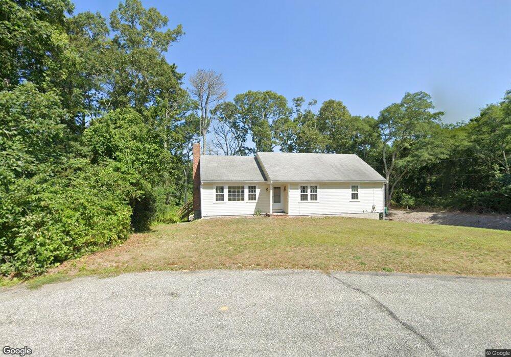
42 Chestnut Ln Harwich, MA 02645
East Harwich NeighborhoodEstimated Value: $656,609 - $719,000
3
Beds
2
Baths
1,368
Sq Ft
$509/Sq Ft
Est. Value
About This Home
This home is located at 42 Chestnut Ln, Harwich, MA 02645 and is currently estimated at $696,652, approximately $509 per square foot. 42 Chestnut Ln is a home located in Barnstable County with nearby schools including Harwich Elementary School, Chatham Elementary School, and Monomoy Regional Middle School.
Ownership History
Date
Name
Owned For
Owner Type
Purchase Details
Closed on
Apr 7, 2022
Sold by
Henn William C
Bought by
Henn William C and Henn Sara
Current Estimated Value
Purchase Details
Closed on
Nov 6, 2021
Sold by
Percarpio Cynthia A
Bought by
Henn William C
Purchase Details
Closed on
Dec 14, 2009
Sold by
William A Henn Ft and Henn William A
Bought by
Henn William A
Purchase Details
Closed on
Aug 29, 1991
Sold by
Singer William J and Singer Janet E
Bought by
Henn William A
Create a Home Valuation Report for This Property
The Home Valuation Report is an in-depth analysis detailing your home's value as well as a comparison with similar homes in the area
Home Values in the Area
Average Home Value in this Area
Purchase History
| Date | Buyer | Sale Price | Title Company |
|---|---|---|---|
| Henn William C | -- | None Available | |
| Henn William C | $177,500 | None Available | |
| Percarpio Cynthia A | -- | None Available | |
| Henn William A | -- | -- | |
| Henn William A | $133,500 | -- |
Source: Public Records
Tax History
| Year | Tax Paid | Tax Assessment Tax Assessment Total Assessment is a certain percentage of the fair market value that is determined by local assessors to be the total taxable value of land and additions on the property. | Land | Improvement |
|---|---|---|---|---|
| 2025 | $3,486 | $589,900 | $205,800 | $384,100 |
| 2024 | $3,385 | $561,300 | $194,100 | $367,200 |
| 2023 | $3,242 | $488,300 | $176,500 | $311,800 |
| 2022 | $3,194 | $393,800 | $153,500 | $240,300 |
| 2021 | $3,027 | $352,000 | $139,500 | $212,500 |
| 2020 | $3,071 | $351,800 | $142,800 | $209,000 |
| 2019 | $2,853 | $329,100 | $137,200 | $191,900 |
| 2018 | $2,978 | $328,500 | $135,600 | $192,900 |
| 2017 | $2,748 | $306,400 | $123,600 | $182,800 |
| 2016 | $2,688 | $296,400 | $123,600 | $172,800 |
| 2015 | $2,592 | $289,000 | $121,100 | $167,900 |
| 2014 | $2,478 | $282,600 | $117,500 | $165,100 |
Source: Public Records
Map
Nearby Homes
- 263 Spruce Rd
- 13 Mill Pond Rd
- 15 Elijah's Woods
- Lot 1 Ladue Landing
- 10 Brian Way
- 737 Thousand Oaks Dr
- 61 Sheffield Rd
- 337 Jonathans Way
- 340 Greenland Pond Rd
- 19 Walkerwoods Dr
- 274 Commons Way
- 26 Walkerwoods Dr
- 58 Sugar Hill Dr
- 22 Winslow Dr
- 14 Bambi Way
- 184 Barons Way
- 24 Chickadee Ln
- 24 Chickadee Cir
- 299 Depot Rd
- 645 S Orleans Rd
- 38 Chestnut Ln
- 34 Chestnut Ln
- 43 Chestnut Ln
- 24 Martha Eaton Ct
- 30 Chestnut Ln
- 20 Martha Eaton Ct
- 37 Elm Dr
- 17 Martha Eaton Ct
- 26 Chestnut Ln
- 18 Martha Eaton Ct
- 16 Martha Eaton Ct
- 33 Elm Dr
- 29 Chestnut Ln
- 7 Martha Eaton Ct
- 22 Chestnut Ln
- 19 Standish Woods Cir
- 15 Standish Woods Cir
- 29 Elm Dr
- 10 Martha Eaton Ct
- 30 Elm Dr
Your Personal Tour Guide
Ask me questions while you tour the home.