42 Cliffside Dr Plymouth, MA 02360
Estimated Value: $830,000 - $900,160
2
Beds
3
Baths
2,330
Sq Ft
$370/Sq Ft
Est. Value
About This Home
This home is located at 42 Cliffside Dr, Plymouth, MA 02360 and is currently estimated at $862,790, approximately $370 per square foot. 42 Cliffside Dr is a home located in Plymouth County with nearby schools including Indian Brook, Plymouth South Middle School, and Plymouth South High School.
Ownership History
Date
Name
Owned For
Owner Type
Purchase Details
Closed on
Sep 21, 2020
Sold by
Musacchio Aldo and Sanchez-Samper Ximena
Bought by
Khurana Amandeep and Khurana Manpreet
Current Estimated Value
Purchase Details
Closed on
Jun 24, 2016
Sold by
Aj Pierce T
Bought by
Musacchio Aldo and Sanchez-Samper Ximona
Home Financials for this Owner
Home Financials are based on the most recent Mortgage that was taken out on this home.
Original Mortgage
$225,750
Interest Rate
3%
Mortgage Type
Adjustable Rate Mortgage/ARM
Purchase Details
Closed on
Mar 29, 1996
Sold by
Fish Robert R and Fish Doris P
Bought by
Pierce Arlene J
Create a Home Valuation Report for This Property
The Home Valuation Report is an in-depth analysis detailing your home's value as well as a comparison with similar homes in the area
Home Values in the Area
Average Home Value in this Area
Purchase History
| Date | Buyer | Sale Price | Title Company |
|---|---|---|---|
| Khurana Amandeep | $560,000 | None Available | |
| Musacchio Aldo | $322,500 | -- | |
| Pierce Arlene J | $190,000 | -- |
Source: Public Records
Mortgage History
| Date | Status | Borrower | Loan Amount |
|---|---|---|---|
| Previous Owner | Musacchio Aldo | $225,750 |
Source: Public Records
Tax History Compared to Growth
Tax History
| Year | Tax Paid | Tax Assessment Tax Assessment Total Assessment is a certain percentage of the fair market value that is determined by local assessors to be the total taxable value of land and additions on the property. | Land | Improvement |
|---|---|---|---|---|
| 2025 | $10,666 | $840,500 | $0 | $840,500 |
| 2024 | $10,275 | $798,400 | $0 | $798,400 |
| 2023 | $9,124 | $665,500 | $0 | $665,500 |
| 2022 | $7,825 | $507,100 | $0 | $507,100 |
| 2021 | $6,863 | $424,700 | $0 | $424,700 |
| 2020 | $6,460 | $395,100 | $0 | $395,100 |
| 2019 | $5,278 | $319,100 | $0 | $319,100 |
| 2018 | $5,252 | $319,100 | $0 | $319,100 |
| 2017 | $5,178 | $312,300 | $0 | $312,300 |
| 2016 | $4,809 | $295,600 | $0 | $295,600 |
| 2015 | $4,634 | $298,200 | $0 | $298,200 |
| 2014 | $4,389 | $290,100 | $0 | $290,100 |
Source: Public Records
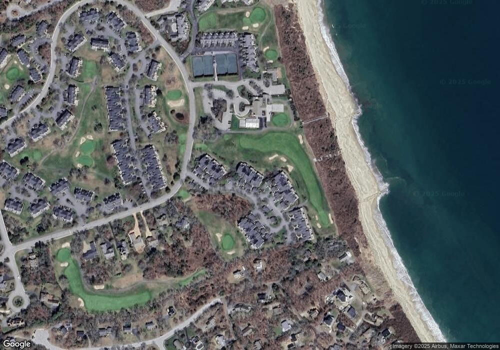
Map
Nearby Homes
- 92 Cliffside Dr Unit hole 2
- 15 Nonantum Rd
- 53 White Cliff Dr
- 6 Sea Cliff Dr Unit 6
- 6 Seacliff Dr Unit 6
- 4 Westcliff Dr Unit Golfview
- 90 Westcliff Dr Unit 90
- 20 Westcliff Dr Unit 20
- 31 Monisa Kay Dr
- 29 Sheppard Rd
- 1150 Long Pond Rd
- 19 Oak Bluff Rd
- 11 Village Green Dr Unit B
- 1 Kara's Way
- 65 Lakewood Dr
- 44 Pisces Ln
- 20 Brady Rd
- 9 Headlands Dr
- 368 Old Plymouth Rd
- 5 Pocasset Rd
- 48 Cliffside Dr Unit Oceanfront
- 48 Cliffside Dr
- 44 Cliffside Dr
- 36 Cliffside Dr
- 42 Cliffside Dr Unit 42
- 48 Cliffside Dr Unit 48
- 48 Cliffside Dr Unit Ocean View
- 42 Cliffside Dr Unit Oceanfront
- 42 Cliffside Dr Unit Oceanview
- 42 Cliffside Dr Unit waterview
- 44 Cliffside Dr Unit White Cliff
- 28 Cliffside Dr Unit OCEANFRONT
- 32 Cliffside Dr Unit White Cliff
- 40 Cliffside Dr
- 38 Cliffside Dr
- 34 Cliffside Dr
- 32 Cliffside Dr
- 30 Cliffside Dr
- 28 Cliffside Dr
- 26 Cliffside Dr