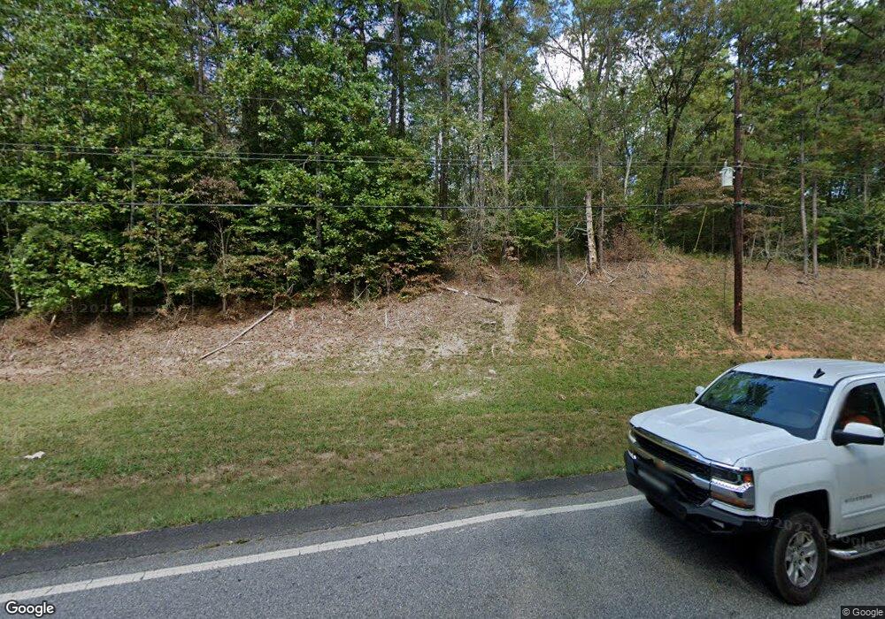
42 Clinton Dr Dahlonega, GA 30533
Estimated Value: $364,000 - $479,184
--
Bed
2
Baths
1,400
Sq Ft
$294/Sq Ft
Est. Value
About This Home
This home is located at 42 Clinton Dr, Dahlonega, GA 30533 and is currently estimated at $412,296, approximately $294 per square foot. 42 Clinton Dr is a home located in Lumpkin County with nearby schools including Clay County Middle School and Lumpkin County High School.
Ownership History
Date
Name
Owned For
Owner Type
Purchase Details
Closed on
Feb 16, 2016
Sold by
Knapton Joyce
Bought by
Fireside Ridge Property Owners
Current Estimated Value
Purchase Details
Closed on
Feb 25, 2004
Sold by
Mcdonald Charles Cli
Bought by
Mcdonaldkeri Lynn
Purchase Details
Closed on
Aug 1, 1984
Bought by
Mcdonald Charles Cli
Create a Home Valuation Report for This Property
The Home Valuation Report is an in-depth analysis detailing your home's value as well as a comparison with similar homes in the area
Home Values in the Area
Average Home Value in this Area
Purchase History
| Date | Buyer | Sale Price | Title Company |
|---|---|---|---|
| Fireside Ridge Property Owners | -- | -- | |
| Mcdonaldkeri Lynn | -- | -- | |
| Mcdonald Charles Cli | -- | -- |
Source: Public Records
Tax History Compared to Growth
Tax History
| Year | Tax Paid | Tax Assessment Tax Assessment Total Assessment is a certain percentage of the fair market value that is determined by local assessors to be the total taxable value of land and additions on the property. | Land | Improvement |
|---|---|---|---|---|
| 2024 | $1,669 | $169,541 | $112,696 | $56,845 |
| 2023 | $1,532 | $155,238 | $102,451 | $52,787 |
| 2022 | $1,422 | $131,552 | $85,376 | $46,176 |
| 2021 | $1,262 | $123,594 | $85,376 | $38,218 |
| 2020 | $1,260 | $118,879 | $81,813 | $37,066 |
| 2019 | $1,267 | $118,879 | $81,813 | $37,066 |
| 2018 | $1,216 | $114,361 | $81,813 | $32,548 |
| 2017 | $1,202 | $113,222 | $81,813 | $31,409 |
| 2016 | $1,109 | $108,934 | $81,813 | $27,121 |
| 2015 | $910 | $108,934 | $81,813 | $27,121 |
| 2014 | $910 | $110,860 | $81,812 | $29,048 |
| 2013 | -- | $111,187 | $81,812 | $29,374 |
Source: Public Records
Map
Nearby Homes
- 0 Gold View Dr
- 668 Gold Cove Dr
- 245 Perkins Rd
- 205 Perkins Rd
- 201 Perkins Rd
- 0 Gold Crest Dr Unit 7623108
- 0 Gold Crest Dr Unit 10373986
- 2041 Long Branch Rd
- 2041 Long Branch Rd Unit TRACT 2A
- 962 Winters Mountain Rd
- 1228 Winters Mountain Rd
- 1364 Birch River Dr
- 48 Kasten Run
- 1259 Birch River Dr
- 1376 Robinson Rd
- 72 Rustin Ridge Unit 276
- 58 Rustin Ridge Unit 278
- 42 Rustin Ridge Unit 285
- 133 Stamp Mill Dr
- 0 Stamp Mill Dr
- 3135 Long Branch Rd
- 89 Sarahs Cir
- 3205 Long Branch Rd
- 207 Azalea Ridge
- 2837 Long Branch Rd
- 252 Azalea Ridge Unit 2
- 252 Azalea Ridge
- 3377 Long Branch Rd
- 99 Azalea Ridge
- 0 Deaver Rd Unit TR 3 3262169
- 0 F C Collins Dr Unit 7251156
- 298 Azalea Ridge
- 300 Azalea Ridge
- 35 Azalea Ridge
- 110 Azalea Ridge
- 001 Azalea Ridge
- 350 Azalea Ridge
- 2172 Long Branch Rd
- 0 Azalea Ridge Unit 3110812
- 0 Azalea Ridge Unit 3079469
