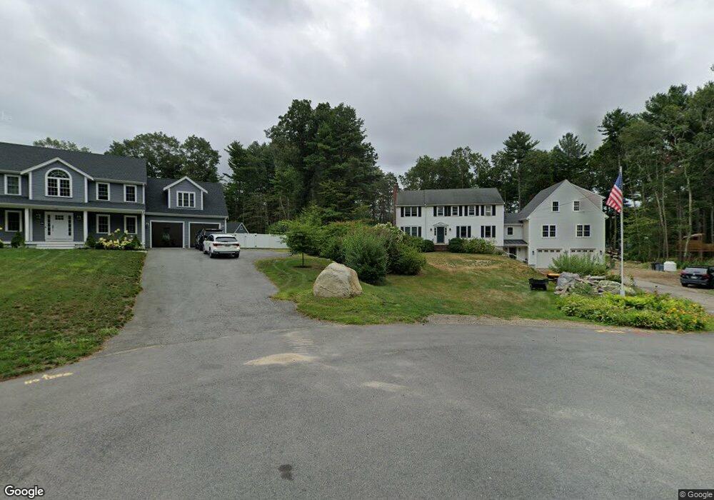
42 Constitution Way Hanover, MA 02339
Estimated Value: $907,651 - $1,059,000
About This Home
This home is located at 42 Constitution Way, Hanover, MA 02339 and is currently estimated at $971,663, approximately $449 per square foot. 42 Constitution Way is a home located in Plymouth County with nearby schools including Hanover High School, Cadence Academy Preschool - Hanover, and The Master's Academy.
Ownership History
We collect this data history from publicly available records. To have your information removed, we recommend requesting removal directly through your county’s website.
Purchase Details
Purchase Details
Home Financials for this Owner
Home Financials are based on the most recent Mortgage that was taken out on this home.Purchase Details
Home Financials for this Owner
Home Financials are based on the most recent Mortgage that was taken out on this home.Home Values in the Area
Average Home Value in this Area
Purchase History
We collect this data history from publicly available records. To have your information removed, we recommend requesting removal directly through your county’s website.
| Date | Buyer | Sale Price | Title Company |
|---|---|---|---|
| -- | -- | ||
| -- | None Available | ||
| -- | None Available | ||
| $225,000 | -- | ||
| $225,000 | -- |
Mortgage History
We collect this data history from publicly available records. To have your information removed, we recommend requesting removal directly through your county’s website.
| Date | Status | Borrower | Loan Amount |
|---|---|---|---|
| Previous Owner | $692,000 | ||
| Previous Owner | $241,000 | ||
| Previous Owner | $188,000 | ||
| Previous Owner | $135,000 |
Tax History
We collect this data history from publicly available records. To have your information removed, we recommend requesting removal directly through your county’s website.
| Year | Tax Paid | Tax Assessment Tax Assessment Total Assessment is a certain percentage of the fair market value that is determined by local assessors to be the total taxable value of land and additions on the property. | Land | Improvement |
|---|---|---|---|---|
| 2025 | $9,359 | $757,800 | $342,400 | $415,400 |
| 2024 | $9,226 | $718,500 | $342,400 | $376,100 |
| 2023 | $8,693 | $644,400 | $312,100 | $332,300 |
| 2022 | $8,590 | $563,300 | $261,200 | $302,100 |
| 2021 | $585 | $517,900 | $238,100 | $279,800 |
| 2020 | $5,238 | $505,800 | $238,100 | $267,700 |
| 2019 | $8,021 | $488,800 | $238,100 | $250,700 |
| 2018 | $7,567 | $464,800 | $238,100 | $226,700 |
| 2017 | $7,758 | $469,600 | $243,100 | $226,500 |
| 2016 | $7,469 | $443,000 | $221,500 | $221,500 |
| 2015 | $7,471 | $462,600 | $241,100 | $221,500 |
Map
- 10 James Rd
- 46 Tower Hill Dr
- 569 Main St
- 28 Lantern Ln
- 250 Main St
- 178 Main St
- 286 Mayflower Cir
- 36 Ea Joseph Dr
- 15 Rockland St
- 392 Cedar St
- 16 Cervelli Farm Dr
- 51 Cervelli Farm Dr
- 23 Cervelli Farm Dr
- 7 Hillcrest Cir Unit 7
- 79 Wildcat Ln
- 95 Tiffany Rd
- 205 Pleasant St
- 26 Old Pottery Ln
- 20 Jackson Rd
- 147 Curtis Mill Ln
Ask me questions while you tour the home.