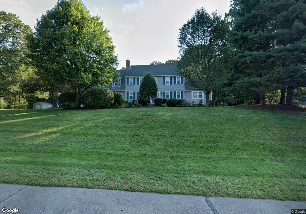
42 Crestview Dr Mendon, MA 01756
Estimated Value: $703,000 - $908,000
4
Beds
3
Baths
2,712
Sq Ft
$298/Sq Ft
Est. Value
About This Home
This home is located at 42 Crestview Dr, Mendon, MA 01756 and is currently estimated at $809,084, approximately $298 per square foot. 42 Crestview Dr is a home located in Worcester County with nearby schools including Memorial Elementary School, Hopedale Jr Sr High School, and Bethany Christian Academy.
Ownership History
Date
Name
Owned For
Owner Type
Purchase Details
Closed on
Dec 8, 2008
Sold by
Hilton Lisa and Hilton Michael J
Bought by
Lisa A Hilton Ret and Hilton Lisa A
Current Estimated Value
Purchase Details
Closed on
Dec 6, 1994
Sold by
Magnani Jeffrey and Magnani Virginia
Bought by
Hilton Michael J and Hilton Lisa
Purchase Details
Closed on
Jun 14, 1990
Sold by
W G B Construction Co
Bought by
Magnani Jeffrey J
Create a Home Valuation Report for This Property
The Home Valuation Report is an in-depth analysis detailing your home's value as well as a comparison with similar homes in the area
Home Values in the Area
Average Home Value in this Area
Purchase History
| Date | Buyer | Sale Price | Title Company |
|---|---|---|---|
| Lisa A Hilton Ret | -- | -- | |
| Magnani Jeffrey J | $225,000 | -- | |
| Hilton Michael J | $237,000 | -- |
Source: Public Records
Mortgage History
| Date | Status | Borrower | Loan Amount |
|---|---|---|---|
| Previous Owner | Magnani Jeffrey J | $154,000 | |
| Previous Owner | Magnani Jeffrey J | $75,000 | |
| Previous Owner | Magnani Jeffrey J | $155,972 |
Source: Public Records
Tax History
| Year | Tax Paid | Tax Assessment Tax Assessment Total Assessment is a certain percentage of the fair market value that is determined by local assessors to be the total taxable value of land and additions on the property. | Land | Improvement |
|---|---|---|---|---|
| 2025 | $10,839 | $809,500 | $193,500 | $616,000 |
| 2024 | $10,208 | $744,600 | $186,000 | $558,600 |
| 2023 | $9,951 | $681,600 | $166,000 | $515,600 |
| 2022 | $9,528 | $618,300 | $165,900 | $452,400 |
| 2021 | $9,287 | $553,100 | $160,900 | $392,200 |
| 2020 | $8,717 | $520,400 | $154,200 | $366,200 |
| 2019 | $8,326 | $497,400 | $143,300 | $354,100 |
| 2018 | $8,204 | $483,700 | $143,300 | $340,400 |
| 2017 | $8,227 | $463,500 | $143,300 | $320,200 |
| 2016 | $8,011 | $464,400 | $145,200 | $319,200 |
| 2015 | $7,269 | $454,000 | $145,200 | $308,800 |
| 2014 | $7,036 | $439,200 | $147,400 | $291,800 |
Source: Public Records
Map
Nearby Homes
- 122 Laurelwood Dr
- 121 Laurelwood Dr
- 120 Laurelwood Dr
- 126 Laurelwood Dr
- 125 Laurelwood Dr
- 124 Laurelwood Dr
- 123 Laurelwood Dr
- 123 Laurelwood Dr Unit 123
- 124 Laurelwood Dr Unit 124
- 115 Laurelwood Dr
- 114 Laurelwood Dr
- 113 Laurelwood Dr
- 112 Laurelwood Dr
- 112 Laurelwood Dr Unit 112
- 114 Laurelwood Dr Unit 114
- 115 Laurelwood Dr Unit 115
- 40 Crestview Dr
- 143 Laurelwood Dr
- 142 Laurelwood Dr
- 141 Laurelwood Dr
Your Personal Tour Guide
Ask me questions while you tour the home.