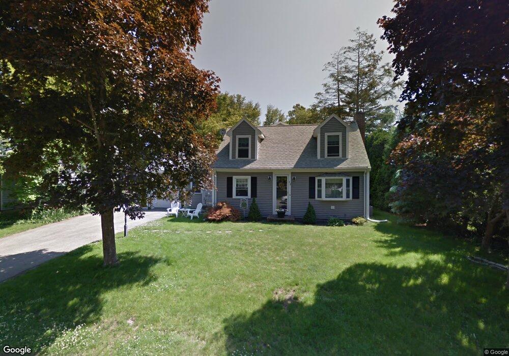
42 Crossley St Abington, MA 02351
Estimated Value: $546,000 - $741,000
3
Beds
3
Baths
2,243
Sq Ft
$301/Sq Ft
Est. Value
About This Home
This home is located at 42 Crossley St, Abington, MA 02351 and is currently estimated at $674,211, approximately $300 per square foot. 42 Crossley St is a home located in Plymouth County with nearby schools including Woodsdale School, Beaver Brook Elementary School, and Abington Middle School.
Ownership History
Date
Name
Owned For
Owner Type
Purchase Details
Closed on
Jul 27, 2001
Sold by
Osgood Russell F and Osgood Maureen S
Bought by
Oleary Edward and Oleary Karen D
Current Estimated Value
Purchase Details
Closed on
Jan 24, 1989
Sold by
Bailey Rand W
Bought by
Osgood Russell F
Create a Home Valuation Report for This Property
The Home Valuation Report is an in-depth analysis detailing your home's value as well as a comparison with similar homes in the area
Home Values in the Area
Average Home Value in this Area
Purchase History
| Date | Buyer | Sale Price | Title Company |
|---|---|---|---|
| Oleary Edward | $235,500 | -- | |
| Osgood Russell F | $159,900 | -- |
Source: Public Records
Mortgage History
| Date | Status | Borrower | Loan Amount |
|---|---|---|---|
| Open | Osgood Russell F | $397,000 | |
| Closed | Osgood Russell F | $410,000 | |
| Closed | Osgood Russell F | $214,000 |
Source: Public Records
Tax History
| Year | Tax Paid | Tax Assessment Tax Assessment Total Assessment is a certain percentage of the fair market value that is determined by local assessors to be the total taxable value of land and additions on the property. | Land | Improvement |
|---|---|---|---|---|
| 2025 | $8,485 | $649,700 | $264,400 | $385,300 |
| 2024 | $8,547 | $638,800 | $240,500 | $398,300 |
| 2023 | $8,277 | $582,500 | $218,800 | $363,700 |
| 2022 | $8,016 | $526,700 | $182,500 | $344,200 |
| 2021 | $7,236 | $439,100 | $166,400 | $272,700 |
| 2020 | $7,485 | $440,300 | $167,600 | $272,700 |
| 2019 | $7,208 | $414,500 | $160,700 | $253,800 |
| 2018 | $4,213 | $403,400 | $160,700 | $242,700 |
| 2017 | $6,643 | $362,000 | $160,700 | $201,300 |
| 2016 | $6,030 | $336,300 | $146,500 | $189,800 |
| 2015 | $5,462 | $321,300 | $146,500 | $174,800 |
Source: Public Records
Map
Nearby Homes
- 50 Crossley St
- 34 Crossley St
- 3 Buckley Place
- 26 Crossley St
- 41 Crossley St
- 49 Crossley St
- 99 Dorsey St
- 91 Dorsey St
- 33 Crossley St
- 57 Crossley St
- 18 Crossley St
- 25 Crossley St
- 81 Dorsey St
- 6 Buckley Place
- 113 Dorsey St
- 113 Dorsey St Unit SF
- 402 Randolph St
- 10 Crossley St
- 17 Crossley St
- 69 Dorsey St
Your Personal Tour Guide
Ask me questions while you tour the home.