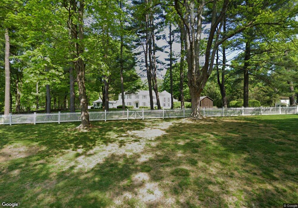
42 Division St Easton, CT 06612
Estimated Value: $867,000 - $2,696,000
Studio
1
Bath
--
Sq Ft
158,123
Sq Ft Lot
About This Home
This home is located at 42 Division St, Easton, CT 06612 and is currently estimated at $1,574,772. 42 Division St is a home located in Fairfield County with nearby schools including Samuel Staples Elementary School, Helen Keller Middle School, and Joel Barlow High School.
Ownership History
Date
Name
Owned For
Owner Type
Purchase Details
Closed on
Feb 10, 2011
Sold by
Craft Philip C
Bought by
Craft Donna T
Current Estimated Value
Purchase Details
Closed on
Jan 4, 2008
Sold by
Selden William L and Selden Jane D
Bought by
Craft Philip C and Craft Donna
Home Financials for this Owner
Home Financials are based on the most recent Mortgage that was taken out on this home.
Original Mortgage
$1,950,000
Interest Rate
7%
Mortgage Type
Purchase Money Mortgage
Purchase Details
Closed on
Oct 17, 1994
Sold by
Wheeler Ruby C Est and Shawmut Bk
Bought by
Selden William L and Selden Jane D
Create a Home Valuation Report for This Property
The Home Valuation Report is an in-depth analysis detailing your home's value as well as a comparison with similar homes in the area
Home Values in the Area
Average Home Value in this Area
Purchase History
| Date | Buyer | Sale Price | Title Company |
|---|---|---|---|
| Craft Donna T | -- | -- | |
| Craft Donna T | -- | -- | |
| Craft Philip C | $520,000 | -- | |
| Craft Philip C | $520,000 | -- | |
| Selden William L | $901,000 | -- | |
| Selden William L | $901,000 | -- |
Source: Public Records
Mortgage History
| Date | Status | Borrower | Loan Amount |
|---|---|---|---|
| Previous Owner | Selden William L | $1,950,000 | |
| Previous Owner | Selden William L | $1,100,000 |
Source: Public Records
Tax History
| Year | Tax Paid | Tax Assessment Tax Assessment Total Assessment is a certain percentage of the fair market value that is determined by local assessors to be the total taxable value of land and additions on the property. | Land | Improvement |
|---|---|---|---|---|
| 2025 | $30,434 | $981,750 | $285,880 | $695,870 |
| 2024 | $29,001 | $981,750 | $285,880 | $695,870 |
| 2023 | $28,431 | $981,750 | $285,880 | $695,870 |
| 2022 | $27,929 | $982,030 | $286,160 | $695,870 |
| 2021 | $17,438 | $848,470 | $286,140 | $562,330 |
| 2020 | $26,303 | $848,470 | $286,140 | $562,330 |
| 2019 | $26,583 | $848,470 | $286,140 | $562,330 |
| 2018 | $26,625 | $848,470 | $286,140 | $562,330 |
| 2017 | $28,730 | $860,700 | $298,370 | $562,330 |
| 2016 | $27,913 | $905,980 | $393,720 | $512,260 |
| 2015 | $27,524 | $905,980 | $393,720 | $512,260 |
| 2014 | $27,089 | $905,980 | $393,720 | $512,260 |
Source: Public Records
Map
Nearby Homes
- 677 Eleven O Clock Rd
- 190 Mile Common Rd
- 200 Long Meadow Rd
- 165 Hemlock Hills Rd S
- 51 Wilson Rd
- 3808 Redding Rd
- 140 Mile Common Rd
- 4800 Congress St
- 22 Brett Rd
- 180 Catamount Rd
- 11 Judges Hollow Rd
- 126 Rolling Hills Dr
- 281 Wood House Rd
- 14 Codfish Ln
- 85-95 Old Easton Turnpike
- 340 Morehouse Rd
- 33 Reilly Rd
- 134 Delaware Rd
- B Bridge Rd
- 1375 Westport Turnpike
Your Personal Tour Guide
Ask me questions while you tour the home.