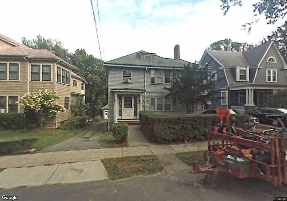
42 Emerson Rd Winthrop, MA 02152
Court Park NeighborhoodEstimated Value: $846,000 - $1,003,000
4
Beds
2
Baths
2,852
Sq Ft
$328/Sq Ft
Est. Value
About This Home
This home is located at 42 Emerson Rd, Winthrop, MA 02152 and is currently estimated at $936,584, approximately $328 per square foot. 42 Emerson Rd is a home located in Suffolk County with nearby schools including William P. Gorman/Fort Banks Elementary School, Arthur T. Cummings Elementary School, and Winthrop Middle School.
Ownership History
Date
Name
Owned For
Owner Type
Purchase Details
Closed on
Jan 18, 2024
Sold by
Guarini Gail H
Bought by
Guarini Peter R and Guarini Gail H
Current Estimated Value
Purchase Details
Closed on
Jun 2, 2006
Sold by
Guarini Gail H and Guarini Richard R
Bought by
Guarini Gail H
Create a Home Valuation Report for This Property
The Home Valuation Report is an in-depth analysis detailing your home's value as well as a comparison with similar homes in the area
Home Values in the Area
Average Home Value in this Area
Purchase History
| Date | Buyer | Sale Price | Title Company |
|---|---|---|---|
| Guarini Peter R | -- | None Available | |
| Guarini Peter R | -- | None Available | |
| Guarini Gail H | -- | -- | |
| Guarini Gail H | -- | -- | |
| Guarini Gail H | -- | -- |
Source: Public Records
Mortgage History
| Date | Status | Borrower | Loan Amount |
|---|---|---|---|
| Previous Owner | Guarini Gail H | $184,000 | |
| Previous Owner | Guarini Gail H | $160,000 |
Source: Public Records
Tax History Compared to Growth
Tax History
| Year | Tax Paid | Tax Assessment Tax Assessment Total Assessment is a certain percentage of the fair market value that is determined by local assessors to be the total taxable value of land and additions on the property. | Land | Improvement |
|---|---|---|---|---|
| 2025 | $8,482 | $821,900 | $445,100 | $376,800 |
| 2024 | $7,670 | $736,100 | $427,800 | $308,300 |
| 2023 | $7,915 | $739,700 | $391,600 | $348,100 |
| 2022 | $7,785 | $662,000 | $349,400 | $312,600 |
| 2021 | $7,595 | $599,000 | $312,000 | $287,000 |
| 2020 | $7,436 | $589,200 | $312,000 | $277,200 |
| 2019 | $7,287 | $552,900 | $287,500 | $265,400 |
| 2018 | $7,029 | $496,400 | $246,800 | $249,600 |
| 2017 | $6,649 | $461,400 | $235,400 | $226,000 |
| 2016 | $6,286 | $409,000 | $204,700 | $204,300 |
| 2015 | $5,611 | $391,300 | $198,800 | $192,500 |
| 2014 | $4,984 | $319,900 | $153,000 | $166,900 |
Source: Public Records
Map
Nearby Homes
- 62 Lowell Rd
- 66 Lowell Rd
- 105 Circuit Rd
- 191 Court Rd Unit 3
- 47 Bellevue Ave
- 35 Somerset Ave Unit 6
- 170 Cottage Park Rd
- 191 Cottage Park Rd
- 10 Somerset Ave Unit 405
- 10 Somerset Ave Unit 403
- 10 Somerset Ave Unit 404
- 10 Somerset Ave Unit 304
- 10 Somerset Ave Unit 408
- 10 Somerset Ave Unit 201
- 10 Somerset Ave Unit 211
- 10 Somerset Ave Unit 206
- 142 Pleasant St Unit 12
- 9 Marshall St
- 220 Woodside Ave Unit 1
- 34 Fremont St
- 48 Emerson Rd
- 30 Emerson Rd
- 30 Emerson Rd
- 30 Emerson Rd Unit 2
- 28 Emerson Rd
- 52 Emerson Rd
- 58 Emerson Rd
- 53 Lowell Rd
- 53 Lowell Rd Unit 53-2
- 53 Lowell Rd Unit 1
- 53 Lowell Rd Unit 2
- 45 Emerson Rd
- 51 Emerson Rd
- 41 Emerson Rd
- 61 Lowell Rd Unit 63
- 49 Lowell Rd
- 65 Lowell Rd
- 57 Emerson Rd
- 37 Emerson Rd
- 26 Emerson Rd