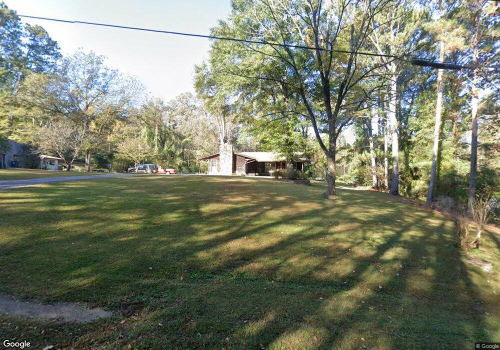
42 Faulk Rd Lagrange, GA 30240
Estimated Value: $224,197 - $282,000
4
Beds
3
Baths
2,490
Sq Ft
$104/Sq Ft
Est. Value
About This Home
This home is located at 42 Faulk Rd, Lagrange, GA 30240 and is currently estimated at $258,799, approximately $103 per square foot. 42 Faulk Rd is a home located in Troup County with nearby schools including Berta Weathersbee Elementary School, Whitesville Road Elementary School, and Long Cane Elementary School.
Ownership History
Date
Name
Owned For
Owner Type
Purchase Details
Closed on
Feb 21, 1992
Sold by
Mary V Waldrop
Bought by
Rurel R Waldrop
Current Estimated Value
Purchase Details
Closed on
May 10, 1991
Sold by
Waldrop Rurel and Waldrop Mary V
Bought by
Mary V Waldrop
Purchase Details
Closed on
Jan 1, 1969
Sold by
Laura E Crenshaw
Bought by
Waldrop Rurel and Waldrop Mary V
Purchase Details
Closed on
Jan 1, 1945
Sold by
Faulk E E
Bought by
Laura E Crenshaw
Create a Home Valuation Report for This Property
The Home Valuation Report is an in-depth analysis detailing your home's value as well as a comparison with similar homes in the area
Home Values in the Area
Average Home Value in this Area
Purchase History
| Date | Buyer | Sale Price | Title Company |
|---|---|---|---|
| Rurel R Waldrop | -- | -- | |
| Mary V Waldrop | -- | -- | |
| Waldrop Rurel | -- | -- | |
| Laura E Crenshaw | -- | -- |
Source: Public Records
Tax History Compared to Growth
Tax History
| Year | Tax Paid | Tax Assessment Tax Assessment Total Assessment is a certain percentage of the fair market value that is determined by local assessors to be the total taxable value of land and additions on the property. | Land | Improvement |
|---|---|---|---|---|
| 2024 | $1,498 | $64,868 | $5,000 | $59,868 |
| 2023 | $1,449 | $63,068 | $5,000 | $58,068 |
| 2022 | $1,383 | $59,508 | $5,000 | $54,508 |
| 2021 | $1,049 | $44,736 | $4,480 | $40,256 |
| 2020 | $943 | $41,216 | $5,600 | $35,616 |
| 2019 | $943 | $41,216 | $5,600 | $35,616 |
| 2018 | $846 | $37,988 | $5,600 | $32,388 |
| 2017 | $846 | $37,988 | $5,600 | $32,388 |
| 2016 | $712 | $33,536 | $5,600 | $27,936 |
| 2015 | $715 | $33,536 | $5,600 | $27,936 |
| 2014 | $952 | $33,536 | $5,600 | $27,936 |
| 2013 | -- | $33,536 | $5,600 | $27,936 |
Source: Public Records
Map
Nearby Homes
- 141 Avery Dr
- 146 Whitaker Rd
- 0 Unit 10514554
- 223 Pinehaven Dr
- 117 Brookwood Dr
- 37 Overbrook Dr
- 0 Bradfield Dr Unit 10568803
- 104 Spring Valley Dr
- 509 Connie Dr
- 212 Aster Way
- 200 Cheyenne Dr
- 243 Oak Dr
- 808 S Fling Rd
- 190 Hill Rd
- 208 Highland Trail
- 101 Crown St Unit LOT 5
- 167 S Kight Dr
- 102 Crown St Unit LOT 1
- 802 Monroe St
- The Rhodes Plan at Crown Street Cottages
- 26 Faulk Rd
- 64 Faulk Rd
- 230 Faulk Rd
- 2449 Roanoke Rd
- 2451 Roanoke Rd
- 5911 Roanoke Rd
- 2441 Roanoke Rd
- 184 Faulk Rd
- 2404 Roanoke Rd
- 2450 Roanoke Rd
- 2439 Roanoke Rd
- 201 W Lakeview Dr
- 202 W Lakeview Dr
- 117 Faulk Rd
- 133 Faulk Rd
- 2518 Roanoke Rd
- 2392 Roanoke Rd
- 203 W Lakeview Dr
- 204 W Lakeview Dr
- 121 Faulk Rd