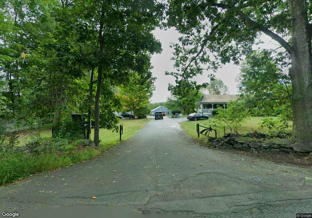
42 Forest St Dunstable, MA 01827
Estimated Value: $654,536 - $883,000
4
Beds
2
Baths
2,272
Sq Ft
$335/Sq Ft
Est. Value
About This Home
This home is located at 42 Forest St, Dunstable, MA 01827 and is currently estimated at $760,634, approximately $334 per square foot. 42 Forest St is a home located in Middlesex County with nearby schools including Groton Dunstable Regional High School, World Academy, and Academy of Notre Dame - Upper School.
Ownership History
Date
Name
Owned For
Owner Type
Purchase Details
Closed on
Mar 8, 2000
Sold by
Coe Cindy A
Bought by
Lamoureux Renee J
Current Estimated Value
Home Financials for this Owner
Home Financials are based on the most recent Mortgage that was taken out on this home.
Original Mortgage
$110,000
Outstanding Balance
$36,985
Interest Rate
8.18%
Mortgage Type
Purchase Money Mortgage
Estimated Equity
$723,649
Purchase Details
Closed on
Oct 24, 1996
Sold by
Schwartz Richard S and Schwartz Helen J
Bought by
Coe Cindy A
Home Financials for this Owner
Home Financials are based on the most recent Mortgage that was taken out on this home.
Original Mortgage
$189,000
Interest Rate
8.22%
Mortgage Type
Purchase Money Mortgage
Create a Home Valuation Report for This Property
The Home Valuation Report is an in-depth analysis detailing your home's value as well as a comparison with similar homes in the area
Home Values in the Area
Average Home Value in this Area
Purchase History
| Date | Buyer | Sale Price | Title Company |
|---|---|---|---|
| Lamoureux Renee J | $249,000 | -- | |
| Coe Cindy A | $237,000 | -- |
Source: Public Records
Mortgage History
| Date | Status | Borrower | Loan Amount |
|---|---|---|---|
| Open | Coe Cindy A | $110,000 | |
| Previous Owner | Coe Cindy A | $186,950 | |
| Previous Owner | Coe Cindy A | $188,500 | |
| Previous Owner | Coe Cindy A | $189,000 | |
| Closed | Coe Cindy A | $155,000 |
Source: Public Records
Tax History Compared to Growth
Tax History
| Year | Tax Paid | Tax Assessment Tax Assessment Total Assessment is a certain percentage of the fair market value that is determined by local assessors to be the total taxable value of land and additions on the property. | Land | Improvement |
|---|---|---|---|---|
| 2025 | $6,970 | $506,900 | $233,800 | $273,100 |
| 2024 | $6,757 | $484,000 | $222,300 | $261,700 |
| 2023 | $6,960 | $464,900 | $222,300 | $242,600 |
| 2022 | $6,861 | $449,900 | $222,300 | $227,600 |
| 2021 | $6,311 | $384,600 | $200,400 | $184,200 |
| 2020 | $6,298 | $374,000 | $200,400 | $173,600 |
| 2019 | $8,998 | $359,500 | $200,400 | $159,100 |
| 2018 | $6,099 | $347,700 | $198,000 | $149,700 |
| 2017 | $5,840 | $343,100 | $198,000 | $145,100 |
| 2016 | $5,678 | $343,100 | $198,000 | $145,100 |
| 2015 | $5,176 | $309,400 | $167,000 | $142,400 |
| 2014 | $4,879 | $309,400 | $167,000 | $142,400 |
Source: Public Records
Map
Nearby Homes
- 0 Lowell St
- 4 Strawberry Bank Rd Unit 12
- 2 Strawberry Bank Rd Unit 17
- 6 Heritage Village Dr Unit U606
- 4 Heritage Village Dr Unit 211
- 10 Mountain Laurels Dr Unit 606
- 19 Georgetown Dr
- 16 Mountain Laurels Dr Unit 402
- 210 Brook Village Rd Unit U43
- 41 Pinebrook Rd
- 84 Hawthorne Village Rd Unit U414
- 58 Wilderness Dr
- 32 Cadogan Way Unit UZ257
- 63 Wilderness Dr Unit Derby 2
- 3 Doucet Ave Unit The Cub
- 62 Stillwater Dr Unit U135
- 50 Wilderness Dr
- 65 Wilderness Dr
- 18 Cadogan Way Unit UY250
- 1 Doucet Ave