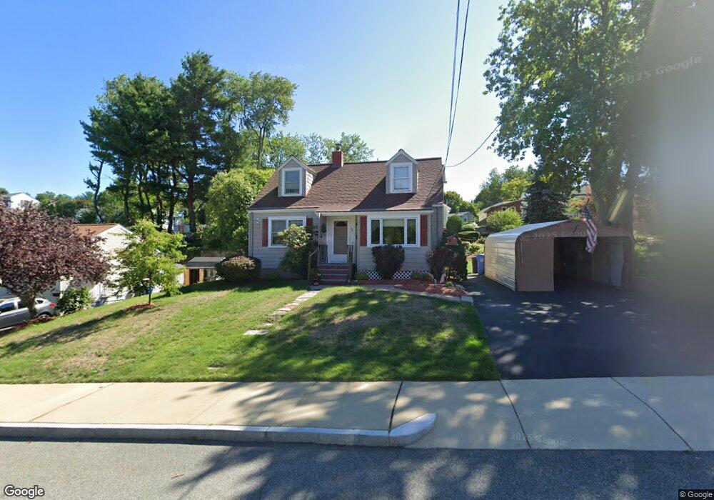
42 Gilman Rd Waltham, MA 02452
North Waltham NeighborhoodEstimated Value: $667,000 - $800,595
3
Beds
2
Baths
1,290
Sq Ft
$583/Sq Ft
Est. Value
About This Home
This home is located at 42 Gilman Rd, Waltham, MA 02452 and is currently estimated at $752,399, approximately $583 per square foot. 42 Gilman Rd is a home located in Middlesex County with nearby schools including Northeast Elementary School, John F Kennedy Middle School, and Waltham Sr High School.
Ownership History
Date
Name
Owned For
Owner Type
Purchase Details
Closed on
Oct 21, 2009
Sold by
Connor John V and Schwelm Patricia
Bought by
Connor Tr John V and Connor Patricia E
Current Estimated Value
Purchase Details
Closed on
Oct 18, 1991
Sold by
Russell F Caney Est
Bought by
Connor John V and Schwelm Patricia
Create a Home Valuation Report for This Property
The Home Valuation Report is an in-depth analysis detailing your home's value as well as a comparison with similar homes in the area
Home Values in the Area
Average Home Value in this Area
Purchase History
| Date | Buyer | Sale Price | Title Company |
|---|---|---|---|
| Connor Tr John V | -- | -- | |
| Connor John V | $140,000 | -- |
Source: Public Records
Mortgage History
| Date | Status | Borrower | Loan Amount |
|---|---|---|---|
| Previous Owner | Connor John V | $35,000 | |
| Previous Owner | Connor John V | $25,000 | |
| Previous Owner | Connor John V | $24,000 |
Source: Public Records
Tax History
| Year | Tax Paid | Tax Assessment Tax Assessment Total Assessment is a certain percentage of the fair market value that is determined by local assessors to be the total taxable value of land and additions on the property. | Land | Improvement |
|---|---|---|---|---|
| 2025 | $6,849 | $697,500 | $429,400 | $268,100 |
| 2024 | $6,505 | $674,800 | $410,400 | $264,400 |
| 2023 | $6,440 | $624,000 | $372,400 | $251,600 |
| 2022 | $6,348 | $569,800 | $334,400 | $235,400 |
| 2021 | $6,262 | $553,200 | $334,400 | $218,800 |
| 2020 | $6,233 | $521,600 | $311,600 | $210,000 |
| 2019 | $6,255 | $494,100 | $307,800 | $186,300 |
| 2018 | $5,770 | $457,600 | $285,000 | $172,600 |
| 2017 | $5,413 | $431,000 | $258,400 | $172,600 |
| 2016 | $5,089 | $415,800 | $243,200 | $172,600 |
| 2015 | $4,728 | $360,100 | $212,800 | $147,300 |
Source: Public Records
Map
Nearby Homes
- 107 Clocktower Dr Unit 3302
- 33 Jacqueline Rd Unit D
- 25 Lionel Ave Unit E
- 1105 Lexington St Unit 9-2
- 289 Bishops Forest Dr
- 345 Bishops Forest Dr
- 133 Lake St
- 14 Piedmont Ave
- 89 Hardy Pond Rd
- 45 Webster Rd
- 179 Lake St
- 63 Montclair Ave
- 5 April Ln Unit 12
- 234 Lake St
- 249 Lake St
- 23 Hillcrest St
- 28 Hillcrest St
- 98 Seminole Ave
- 12 Curve St
- 501 Lexington St Unit 11
Your Personal Tour Guide
Ask me questions while you tour the home.