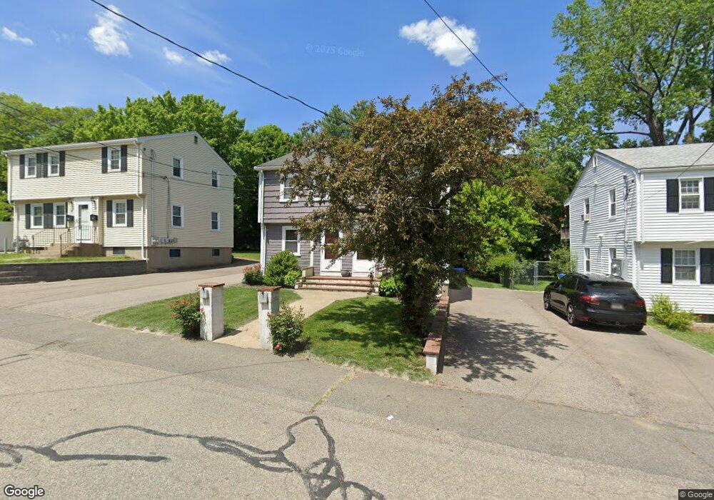
42 Grafton Ave Unit 1 Westwood, MA 02090
Estimated Value: $327,000 - $528,000
2
Beds
1
Bath
972
Sq Ft
$433/Sq Ft
Est. Value
About This Home
This home is located at 42 Grafton Ave Unit 1, Westwood, MA 02090 and is currently estimated at $421,074, approximately $433 per square foot. 42 Grafton Ave Unit 1 is a home located in Norfolk County with nearby schools including Westwood High School, Academy of the Pacific Rim Charter Public School, and St Catherine Of Siena School.
Ownership History
Date
Name
Owned For
Owner Type
Purchase Details
Closed on
Dec 22, 2010
Sold by
Moshiek Kristen M
Bought by
Hawes Carol J
Current Estimated Value
Home Financials for this Owner
Home Financials are based on the most recent Mortgage that was taken out on this home.
Original Mortgage
$176,800
Outstanding Balance
$116,511
Interest Rate
4.17%
Mortgage Type
Purchase Money Mortgage
Estimated Equity
$304,563
Purchase Details
Closed on
Feb 3, 2005
Sold by
Schiarizzi Donald J and Bavaro Raymond
Bought by
Moshiek Kristen M
Home Financials for this Owner
Home Financials are based on the most recent Mortgage that was taken out on this home.
Original Mortgage
$220,000
Interest Rate
5.77%
Mortgage Type
Purchase Money Mortgage
Create a Home Valuation Report for This Property
The Home Valuation Report is an in-depth analysis detailing your home's value as well as a comparison with similar homes in the area
Home Values in the Area
Average Home Value in this Area
Purchase History
| Date | Buyer | Sale Price | Title Company |
|---|---|---|---|
| Hawes Carol J | $221,000 | -- | |
| Moshiek Kristen M | $275,000 | -- |
Source: Public Records
Mortgage History
| Date | Status | Borrower | Loan Amount |
|---|---|---|---|
| Open | Hawes Carol J | $176,800 | |
| Previous Owner | Moshiek Kristen M | $220,000 | |
| Previous Owner | Moshiek Kristen M | $55,000 |
Source: Public Records
Tax History Compared to Growth
Tax History
| Year | Tax Paid | Tax Assessment Tax Assessment Total Assessment is a certain percentage of the fair market value that is determined by local assessors to be the total taxable value of land and additions on the property. | Land | Improvement |
|---|---|---|---|---|
| 2025 | $3,480 | $271,900 | $0 | $271,900 |
| 2024 | $3,267 | $255,000 | $0 | $255,000 |
| 2023 | $3,298 | $230,600 | $0 | $230,600 |
| 2022 | $3,421 | $230,650 | $0 | $230,650 |
| 2021 | $3,409 | $230,650 | $0 | $230,650 |
| 2020 | $3,263 | $224,850 | $0 | $224,850 |
| 2019 | $3,333 | $227,500 | $0 | $227,500 |
| 2018 | $3,473 | $230,150 | $0 | $230,150 |
| 2017 | $3,106 | $213,150 | $0 | $213,150 |
| 2016 | $2,942 | $200,650 | $0 | $200,650 |
| 2015 | $3,092 | $202,900 | $0 | $202,900 |
Source: Public Records
Map
Nearby Homes
- 298 Washington St Unit 302
- 102 Parker St
- 50 Fairview St
- 130 Cobleigh St
- 290 East St
- 1000 Washington St Unit 205
- 1 Laura Ln
- 39 Westbrook Ln
- 8 Karen Pines St
- 19 Cushing Rd
- 306 Highland St
- 401 Sandy Valley Rd
- 355 Canton St
- 24 Overlook Ave
- 29 S Gate St
- 11 Granite St
- 324 Central Ave
- 989 East St Unit 107
- 16 Norwich St
- 187 Vincent Rd
- 42 Grafton Ave Unit 2
- 38 Grafton Ave
- 71 B Strafford Unit B
- 34 Grafton Ave
- 71 Strafford Rd
- 71 Strafford Rd Unit 2
- 30 Grafton Ave
- 52 Waldo Way
- 60 Grafton Ave Unit 66
- 44 Waldo Way
- 59 Grafton Ave
- 70 Strafford Rd
- 63 Strafford Rd
- 32 Waldo Way
- 61 Grafton Ave
- 22 Grafton Ave
- 23 Grafton Ave
- 58 Waldo Way
- 49 Wentworth St
- 21 Grafton Ave Unit 21