42 Grandview Dr Warminster, PA 18974
Estimated Value: $456,000 - $523,000
2
Beds
3
Baths
1,700
Sq Ft
$283/Sq Ft
Est. Value
About This Home
This home is located at 42 Grandview Dr, Warminster, PA 18974 and is currently estimated at $480,533, approximately $282 per square foot. 42 Grandview Dr is a home located in Bucks County with nearby schools including Maureen M. Welch Elementary School, Richboro Middle School, and Council Rock High School - South.
Ownership History
Date
Name
Owned For
Owner Type
Purchase Details
Closed on
Jun 8, 2005
Sold by
Rodden John and Rodden Rose
Bought by
Houston Paul R and Houston Loretta F
Current Estimated Value
Home Financials for this Owner
Home Financials are based on the most recent Mortgage that was taken out on this home.
Original Mortgage
$241,520
Interest Rate
5.75%
Mortgage Type
Fannie Mae Freddie Mac
Purchase Details
Closed on
Nov 7, 2001
Sold by
Deluca Enterprises Inc
Bought by
Rodden John and Rodden Rose
Create a Home Valuation Report for This Property
The Home Valuation Report is an in-depth analysis detailing your home's value as well as a comparison with similar homes in the area
Home Values in the Area
Average Home Value in this Area
Purchase History
| Date | Buyer | Sale Price | Title Company |
|---|---|---|---|
| Houston Paul R | $301,900 | None Available | |
| Rodden John | $184,900 | -- |
Source: Public Records
Mortgage History
| Date | Status | Borrower | Loan Amount |
|---|---|---|---|
| Open | Houston Paul R | $45,285 | |
| Previous Owner | Houston Paul R | $241,520 |
Source: Public Records
Tax History
| Year | Tax Paid | Tax Assessment Tax Assessment Total Assessment is a certain percentage of the fair market value that is determined by local assessors to be the total taxable value of land and additions on the property. | Land | Improvement |
|---|---|---|---|---|
| 2025 | $6,264 | $32,520 | $4,000 | $28,520 |
| 2024 | $6,264 | $32,520 | $4,000 | $28,520 |
| 2023 | $4,114 | $32,520 | $4,000 | $28,520 |
| 2022 | $5,849 | $32,520 | $4,000 | $28,520 |
| 2021 | $5,664 | $32,520 | $4,000 | $28,520 |
| 2020 | $5,537 | $32,520 | $4,000 | $28,520 |
| 2019 | $5,300 | $32,520 | $4,000 | $28,520 |
| 2018 | $5,206 | $32,520 | $4,000 | $28,520 |
| 2017 | $5,005 | $32,520 | $4,000 | $28,520 |
| 2016 | $5,005 | $32,520 | $4,000 | $28,520 |
| 2015 | -- | $32,520 | $4,000 | $28,520 |
| 2014 | -- | $32,520 | $4,000 | $28,520 |
Source: Public Records
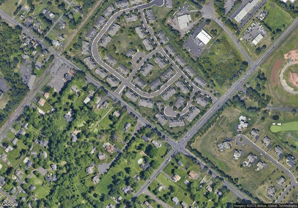
Map
Nearby Homes
- 111 Grandview Dr
- 11 Lincoln Ave
- 55 Parry Way
- 9 Spring Dr
- 11 Spring Dr
- 70 Wheatsheaf Rd
- 854 Phillips Rd
- 812 Lillian Ln
- 841 Nathaniel Trail
- 403 Silver Oak Ct
- 290 Hatboro Rd
- 202 Strawberry Ct Unit 249
- 920 Nathaniel Trail
- 786 Boxwood Dr
- 130 E Street Rd
- 941 Hamilton Way
- 641 Whittier Dr
- 632 Longfellow Ct
- 3 Shady Pines Dr
- 630 Whittier Dr
- 40 Grandview Dr
- 44 Grandview Dr
- 46 Grandview Dr
- 48 Grandview Dr
- 76 Griffith Miles Cir
- 87 Griffith Miles Cir
- 50 Grandview Dr
- 85 Griffith Miles Cir
- 35 Grandview Dr
- 52 Grandview Dr
- 34 Grandview Dr
- 53 Grandview Dr
- 83 Griffith Miles Cir
- 31 Grandview Dr
- 54 Grandview Dr
- 30 Grandview Dr
- 55 Grandview Dr
- 81 Griffith Miles Cir
- 29 Grandview Dr
- 58 Grandview Dr
Your Personal Tour Guide
Ask me questions while you tour the home.