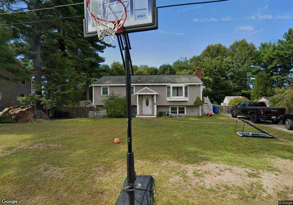
42 Haskell Rd Pepperell, MA 01463
Estimated Value: $520,000 - $598,000
3
Beds
2
Baths
2,086
Sq Ft
$268/Sq Ft
Est. Value
About This Home
This home is located at 42 Haskell Rd, Pepperell, MA 01463 and is currently estimated at $558,371, approximately $267 per square foot. 42 Haskell Rd is a home located in Middlesex County with nearby schools including North Middlesex Regional High School, Pepperell Christian Academy, and Maple Dene & Moppet School.
Ownership History
Date
Name
Owned For
Owner Type
Purchase Details
Closed on
Nov 10, 2016
Sold by
Shields Doreen D
Bought by
Torpey Patrick W and Croteau Mariesa
Current Estimated Value
Home Financials for this Owner
Home Financials are based on the most recent Mortgage that was taken out on this home.
Original Mortgage
$302,197
Outstanding Balance
$242,612
Interest Rate
3.42%
Mortgage Type
FHA
Estimated Equity
$315,759
Purchase Details
Closed on
May 29, 1996
Sold by
Hanson Richard F and Hanson Sandra M
Bought by
Shields James M and Shields Doreen D
Home Financials for this Owner
Home Financials are based on the most recent Mortgage that was taken out on this home.
Original Mortgage
$107,100
Interest Rate
7.91%
Mortgage Type
Purchase Money Mortgage
Create a Home Valuation Report for This Property
The Home Valuation Report is an in-depth analysis detailing your home's value as well as a comparison with similar homes in the area
Home Values in the Area
Average Home Value in this Area
Purchase History
| Date | Buyer | Sale Price | Title Company |
|---|---|---|---|
| Torpey Patrick W | $312,000 | -- | |
| Shields James M | $126,000 | -- |
Source: Public Records
Mortgage History
| Date | Status | Borrower | Loan Amount |
|---|---|---|---|
| Open | Torpey Patrick W | $302,197 | |
| Previous Owner | Shields James M | $130,000 | |
| Previous Owner | Shields James M | $107,100 | |
| Previous Owner | Shields James M | $95,000 |
Source: Public Records
Tax History
| Year | Tax Paid | Tax Assessment Tax Assessment Total Assessment is a certain percentage of the fair market value that is determined by local assessors to be the total taxable value of land and additions on the property. | Land | Improvement |
|---|---|---|---|---|
| 2025 | $7,240 | $494,900 | $139,200 | $355,700 |
| 2024 | $6,559 | $457,100 | $127,100 | $330,000 |
| 2023 | $6,145 | $405,900 | $115,000 | $290,900 |
| 2022 | $5,786 | $337,400 | $102,900 | $234,500 |
| 2021 | $5,708 | $318,500 | $90,800 | $227,700 |
| 2020 | $5,408 | $318,500 | $90,800 | $227,700 |
| 2019 | $5,004 | $301,600 | $90,800 | $210,800 |
| 2018 | $4,588 | $279,900 | $90,800 | $189,100 |
| 2017 | $3,890 | $244,800 | $90,800 | $154,000 |
| 2016 | $3,465 | $209,600 | $90,800 | $118,800 |
| 2015 | $3,343 | $209,600 | $90,800 | $118,800 |
| 2014 | $3,153 | $198,800 | $84,700 | $114,100 |
Source: Public Records
Map
Nearby Homes
- 38 Tarbell St Unit 5B
- 38 Tarbell St Unit 1D
- 29 Tarbell St
- 28-30 Groton St
- 8 Casie Ln
- 208 North St
- 114 Groton St
- 10 Bennett St
- 11 Unkety Brook Way
- 12 Unkety Brook Way
- 179 Wyman Rd
- 39 Hollis St Unit A
- 14 Brookline St
- 38 River Rd Unit 11
- 235 Kemp St
- 147 Nashua Rd
- 53 Mclains Woods Rd
- 13 Birch Dr
- 1 Nashua Rd
- 77 Birchwood Dr
Your Personal Tour Guide
Ask me questions while you tour the home.