Estimated Value: $419,000 - $437,253
3
Beds
3
Baths
2,188
Sq Ft
$196/Sq Ft
Est. Value
About This Home
This home is located at 42 Heritage Dr Unit 42, Avon, CT 06001 and is currently estimated at $428,563, approximately $195 per square foot. 42 Heritage Dr Unit 42 is a home located in Hartford County with nearby schools including Thompson Brook School, Pine Grove School, and Avon Middle School.
Ownership History
Date
Name
Owned For
Owner Type
Purchase Details
Closed on
Jun 22, 2007
Sold by
Butler Avon Llc
Bought by
Marques Emilio
Current Estimated Value
Home Financials for this Owner
Home Financials are based on the most recent Mortgage that was taken out on this home.
Original Mortgage
$554,320
Outstanding Balance
$338,266
Interest Rate
6.14%
Estimated Equity
$90,297
Purchase Details
Closed on
Jun 4, 2002
Sold by
Plante Robert J
Bought by
Hand Arthur R and Mednicks Maija I
Purchase Details
Closed on
Nov 27, 1996
Sold by
Marian Chrosniak T
Bought by
Plante Robert and Harris Sandra Gray
Purchase Details
Closed on
Jul 20, 1987
Sold by
Holmes Eileen
Bought by
Chrosniak Thomas
Create a Home Valuation Report for This Property
The Home Valuation Report is an in-depth analysis detailing your home's value as well as a comparison with similar homes in the area
Home Values in the Area
Average Home Value in this Area
Purchase History
| Date | Buyer | Sale Price | Title Company |
|---|---|---|---|
| Marques Emilio | $692,900 | -- | |
| Marques Emilio | $692,900 | -- | |
| Hand Arthur R | $235,000 | -- | |
| Hand Arthur R | $235,000 | -- | |
| Plante Robert | $210,000 | -- | |
| Plante Robert | $210,000 | -- | |
| Chrosniak Thomas | $254,900 | -- |
Source: Public Records
Mortgage History
| Date | Status | Borrower | Loan Amount |
|---|---|---|---|
| Open | Chrosniak Thomas | $554,320 | |
| Closed | Chrosniak Thomas | $554,320 | |
| Previous Owner | Chrosniak Thomas | $137,800 |
Source: Public Records
Tax History Compared to Growth
Tax History
| Year | Tax Paid | Tax Assessment Tax Assessment Total Assessment is a certain percentage of the fair market value that is determined by local assessors to be the total taxable value of land and additions on the property. | Land | Improvement |
|---|---|---|---|---|
| 2025 | $6,784 | $220,630 | $0 | $220,630 |
| 2024 | $6,544 | $220,630 | $0 | $220,630 |
| 2023 | $5,816 | $164,350 | $0 | $164,350 |
| 2022 | $5,688 | $164,350 | $0 | $164,350 |
| 2021 | $5,622 | $164,350 | $0 | $164,350 |
| 2020 | $5,407 | $164,350 | $0 | $164,350 |
| 2019 | $5,407 | $164,350 | $0 | $164,350 |
| 2018 | $5,656 | $180,430 | $0 | $180,430 |
| 2017 | $5,519 | $180,430 | $0 | $180,430 |
| 2016 | $5,326 | $180,430 | $0 | $180,430 |
| 2015 | $5,196 | $180,430 | $0 | $180,430 |
| 2014 | $5,110 | $180,430 | $0 | $180,430 |
Source: Public Records
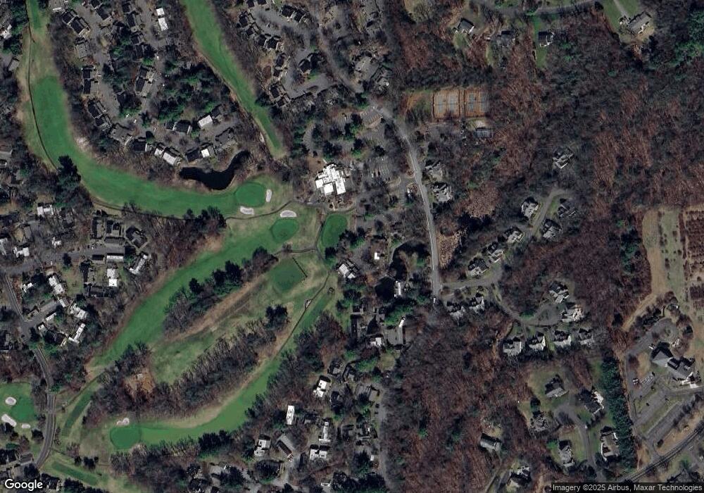
Map
Nearby Homes
- 22 Heritage Dr Unit 22
- 2 Muirfield Ln
- 3 Heritage Dr
- 7 Chestnut Dr
- 44 Applewood Ln Unit 44
- 115 W Avon Rd
- 94 Sanford Ave
- 15 Greenwich Ln Unit 15
- 27 Sherman Ave
- 26 Sunrise Dr
- 50 Northwoods Rd
- 81 Bronson Rd
- 49 Northwoods Rd
- 54 Pinewood Dr
- 5 Homestead Ln
- 94 Perry St
- 11 Hollister Dr
- 40 Homestead Ln
- 31 Railroad Ave
- 60 Hollister Dr
- 42 Heritage Dr
- 41 Heritage Dr
- 40 Heritage Dr
- 36 Heritage Dr
- 36 Heritage Dr Unit 36
- 39 Heritage Dr
- 39 Heritage Dr Unit 39
- 35 Heritage Dr
- 34 Heritage Dr
- 34 Heritage Dr
- 34 Heritage Dr Unit 34
- 37 Heritage Dr
- 38 Heritage Dr
- 38 Heritage Dr Unit 140E
- 38 Heritage Dr Unit 38
- 33 Heritage Dr
- 33 Heritage Dr Unit 139B
- 32 Heritage Dr
- 32 Heritage Dr Unit 139A
- 32 Heritage Dr Unit 32