42 High Cashes Valley Dr Cherry Log, GA 30522
Estimated Value: $562,383 - $849,000
--
Bed
3
Baths
1,950
Sq Ft
$370/Sq Ft
Est. Value
About This Home
This home is located at 42 High Cashes Valley Dr, Cherry Log, GA 30522 and is currently estimated at $720,846, approximately $369 per square foot. 42 High Cashes Valley Dr is a home located in Fannin County with nearby schools including Fannin County High School.
Ownership History
Date
Name
Owned For
Owner Type
Purchase Details
Closed on
Nov 30, 2008
Sold by
Howard Ronald Gene
Bought by
Waters Edge Of Blue Ridge Llc
Current Estimated Value
Purchase Details
Closed on
Aug 17, 2007
Sold by
Durrance Carolyn T
Bought by
Howard Ronald Gene and Howard Joanne
Purchase Details
Closed on
Apr 14, 2006
Sold by
Callihan Winston N
Bought by
Durrance Carolyn T
Purchase Details
Closed on
May 27, 1999
Sold by
First Bank Of Polk C
Bought by
Durrance Carolyn T
Purchase Details
Closed on
May 26, 1999
Sold by
Durrance Charles J
Bought by
Durrance Carolyn T
Create a Home Valuation Report for This Property
The Home Valuation Report is an in-depth analysis detailing your home's value as well as a comparison with similar homes in the area
Home Values in the Area
Average Home Value in this Area
Purchase History
| Date | Buyer | Sale Price | Title Company |
|---|---|---|---|
| Waters Edge Of Blue Ridge Llc | $280,000 | -- | |
| Howard Ronald Gene | $285,000 | -- | |
| Durrance Carolyn T | -- | -- | |
| Durrance Carolyn T | -- | -- | |
| Durrance Carolyn T | -- | -- | |
| Durrance Charles J | $145,000 | -- |
Source: Public Records
Tax History Compared to Growth
Tax History
| Year | Tax Paid | Tax Assessment Tax Assessment Total Assessment is a certain percentage of the fair market value that is determined by local assessors to be the total taxable value of land and additions on the property. | Land | Improvement |
|---|---|---|---|---|
| 2025 | $1,832 | $199,850 | $20,520 | $179,330 |
| 2024 | $1,832 | $199,850 | $20,520 | $179,330 |
| 2023 | $1,692 | $165,992 | $20,520 | $145,472 |
| 2022 | $1,713 | $168,075 | $20,520 | $147,555 |
| 2021 | $1,319 | $94,106 | $20,520 | $73,586 |
| 2020 | $1,341 | $94,106 | $20,520 | $73,586 |
| 2019 | $1,367 | $94,106 | $20,520 | $73,586 |
| 2018 | $1,450 | $94,106 | $20,520 | $73,586 |
| 2016 | $1,548 | $91,124 | $20,520 | $70,604 |
| 2015 | $1,533 | $86,410 | $20,520 | $65,890 |
| 2014 | $1,577 | $89,932 | $20,520 | $69,412 |
| 2013 | -- | $76,196 | $20,520 | $55,676 |
Source: Public Records
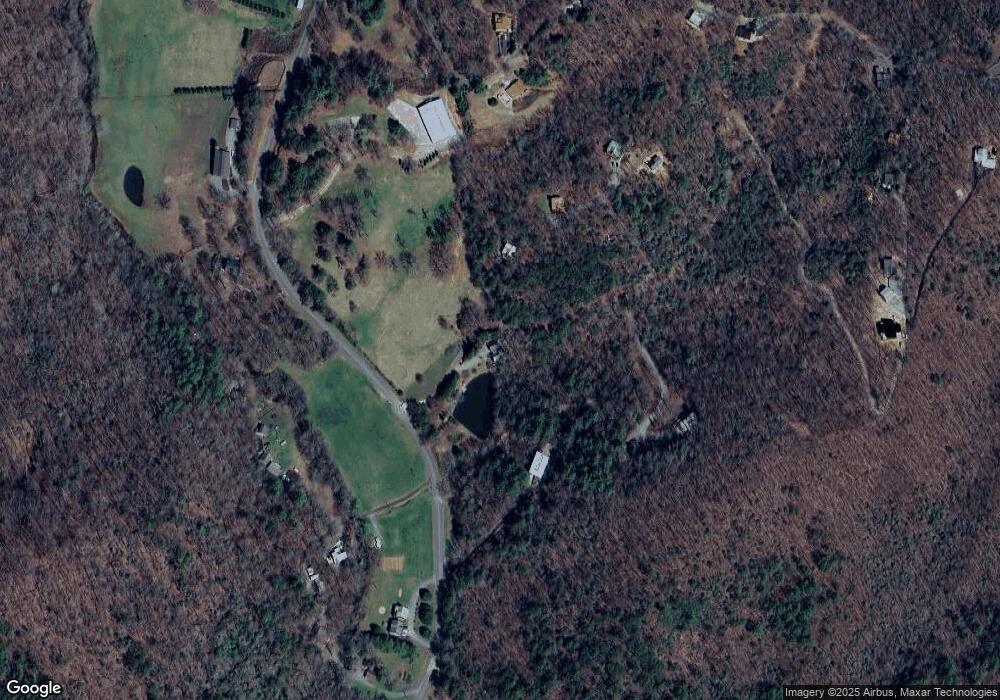
Map
Nearby Homes
- LOT 1 High Knee Rd
- 908 Cashes Valley Rd
- 384 Mountain Highlands Ct
- 785 Wehunt Rd
- 339 Wehunt Rd
- 312 Covered Bridge Ln
- TRACT 1 Big Oak Ln
- 312 Covered Bridge
- 533 Mangums Trail
- 12 Heights Overlook
- 2931 Highway 2
- 272 Heights Overlook
- 1655 Mangum's Trail
- 78 Brass Hill Rd Unit 146
- 78 Brass Hill Rd
- 750 Laurel Cir
- 1571 Mangums Trail
- Lot A Magnums Trail
- Lot A Magnums Trail Unit A
- 5 Serenity View
- 0 Cashes Valley Dr Unit 7441754
- 0 Cashes Valley Lodge Unit 4047183
- 937 Cashes Valley Rd
- 0 High Cashes Valley Unit 316051
- 0 High Cashes Valley Unit 309475
- 0 High Cashes Valley Unit 10044810
- 1173 Cashes Valley Rd
- 150 High Cashes Valley Dr
- 71 Bear Claw Ln
- 1014 Cashes Valley Rd
- LT 31 The Heights
- 91 Bear Claw
- 1118 Cashes Valley Rd
- 1122 Cashes Valley Rd
- 933 Cashes Valley Rd
- 4.02 Cashes Valley Rd
- 3 AC Cashes Valley Rd
- TR 21 Cashes Valley Rd
- LOT 2 Cashes Valley Rd
- LOT 6 Cashes Valley Rd