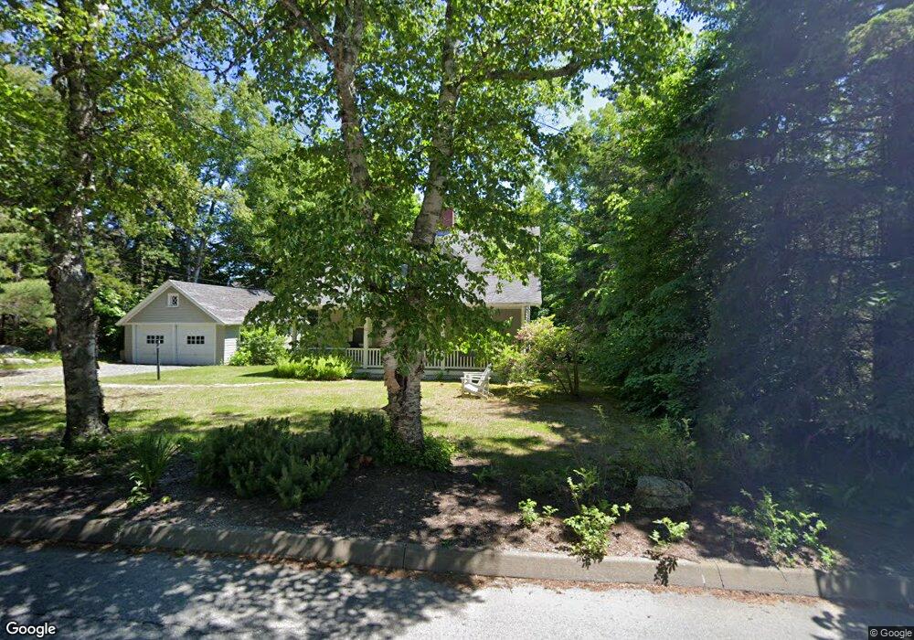
42 High Rd Southwest Harbor, ME 04679
Estimated Value: $716,513 - $944,000
3
Beds
2
Baths
1,615
Sq Ft
$504/Sq Ft
Est. Value
About This Home
This home is located at 42 High Rd, Southwest Harbor, ME 04679 and is currently estimated at $813,878, approximately $503 per square foot. 42 High Rd is a home located in Hancock County with nearby schools including Pemetic Elementary School and Mt. Desert Island High School.
Ownership History
Date
Name
Owned For
Owner Type
Purchase Details
Closed on
Sep 20, 2010
Sold by
Lowe Galen B and Lowe Janice D
Bought by
Bogart James L and Dewolf Peggy L
Current Estimated Value
Home Financials for this Owner
Home Financials are based on the most recent Mortgage that was taken out on this home.
Original Mortgage
$200,000
Outstanding Balance
$132,535
Interest Rate
4.51%
Mortgage Type
Unknown
Estimated Equity
$681,343
Create a Home Valuation Report for This Property
The Home Valuation Report is an in-depth analysis detailing your home's value as well as a comparison with similar homes in the area
Home Values in the Area
Average Home Value in this Area
Purchase History
| Date | Buyer | Sale Price | Title Company |
|---|---|---|---|
| Bogart James L | -- | -- |
Source: Public Records
Mortgage History
| Date | Status | Borrower | Loan Amount |
|---|---|---|---|
| Open | Bogart James L | $200,000 |
Source: Public Records
Tax History Compared to Growth
Tax History
| Year | Tax Paid | Tax Assessment Tax Assessment Total Assessment is a certain percentage of the fair market value that is determined by local assessors to be the total taxable value of land and additions on the property. | Land | Improvement |
|---|---|---|---|---|
| 2024 | $5,000 | $554,300 | $311,500 | $242,800 |
| 2023 | $4,574 | $281,300 | $192,400 | $88,900 |
| 2022 | $4,112 | $279,700 | $192,400 | $87,300 |
| 2021 | $4,100 | $279,700 | $192,400 | $87,300 |
| 2020 | $4,025 | $279,700 | $192,400 | $87,300 |
| 2019 | $3,902 | $279,700 | $192,400 | $87,300 |
| 2018 | $3,810 | $279,700 | $192,400 | $87,300 |
| 2017 | $3,597 | $279,700 | $192,400 | $87,300 |
| 2016 | $3,597 | $279,700 | $192,400 | $87,300 |
| 2015 | $3,597 | $279,700 | $192,400 | $87,300 |
| 2014 | $3,592 | $279,300 | $192,400 | $86,900 |
| 2013 | $3,592 | $279,300 | $192,400 | $86,900 |
Source: Public Records
Map
Nearby Homes
- 38 Dirigo Rd
- 120 Clark Point Rd
- 471 Main St
- 14 Seal Cove Rd
- 10 Robinson Ln Unit 18
- 109 Freeman Ridge Rd
- 00 Fernald Point Rd
- 17 Freeman Ridge Rd
- 3 and 5 Graves Lane Harbor NE
- 30 Neighborhood Rd
- 77 Manchester Rd
- 000
- 000 Seawall Map Lot 17 11-01 Rd
- 000 Seawall Map Lot 17 11-02 Rd
- 000
- 142 Seal Cove Rd
- 65 Summit Rd
- 5 Spruce St
- 16 Millbrook-Northeast Harbor Rd
- 6 Sea St