42 Jeffreys Way Kennebunk, ME 04043
Estimated Value: $555,000 - $590,785
3
Beds
3
Baths
1,560
Sq Ft
$363/Sq Ft
Est. Value
About This Home
This home is located at 42 Jeffreys Way, Kennebunk, ME 04043 and is currently estimated at $566,928, approximately $363 per square foot. 42 Jeffreys Way is a home with nearby schools including Kennebunk High School.
Ownership History
Date
Name
Owned For
Owner Type
Purchase Details
Closed on
Feb 17, 2021
Sold by
Woods Construction Llc
Bought by
Goulet Kirk and Allen Autumn A
Current Estimated Value
Home Financials for this Owner
Home Financials are based on the most recent Mortgage that was taken out on this home.
Original Mortgage
$281,960
Outstanding Balance
$251,029
Interest Rate
2.7%
Mortgage Type
New Conventional
Estimated Equity
$315,900
Purchase Details
Closed on
Jun 29, 2010
Sold by
Mackinnon Julienne G
Bought by
Sharp Frances A and Larson John W
Create a Home Valuation Report for This Property
The Home Valuation Report is an in-depth analysis detailing your home's value as well as a comparison with similar homes in the area
Home Values in the Area
Average Home Value in this Area
Purchase History
| Date | Buyer | Sale Price | Title Company |
|---|---|---|---|
| Goulet Kirk | -- | None Available | |
| Goulet Kirk | -- | None Available | |
| Sharp Frances A | $75,000 | -- | |
| Sharp Frances A | $75,000 | -- |
Source: Public Records
Mortgage History
| Date | Status | Borrower | Loan Amount |
|---|---|---|---|
| Open | Goulet Kirk | $281,960 | |
| Closed | Goulet Kirk | $281,960 |
Source: Public Records
Tax History Compared to Growth
Tax History
| Year | Tax Paid | Tax Assessment Tax Assessment Total Assessment is a certain percentage of the fair market value that is determined by local assessors to be the total taxable value of land and additions on the property. | Land | Improvement |
|---|---|---|---|---|
| 2024 | $5,883 | $347,100 | $98,700 | $248,400 |
| 2023 | $5,571 | $347,100 | $98,700 | $248,400 |
| 2022 | $5,068 | $347,100 | $98,700 | $248,400 |
| 2021 | $4,946 | $347,100 | $98,700 | $248,400 |
| 2020 | $1,397 | $98,700 | $98,700 | $0 |
| 2019 | $1,357 | $98,700 | $98,700 | $0 |
| 2018 | $1,295 | $74,000 | $74,000 | $0 |
| 2017 | $1,225 | $74,000 | $74,000 | $0 |
| 2016 | $1,177 | $74,000 | $74,000 | $0 |
| 2015 | $1,132 | $74,000 | $74,000 | $0 |
| 2014 | $1,103 | $74,000 | $74,000 | $0 |
Source: Public Records
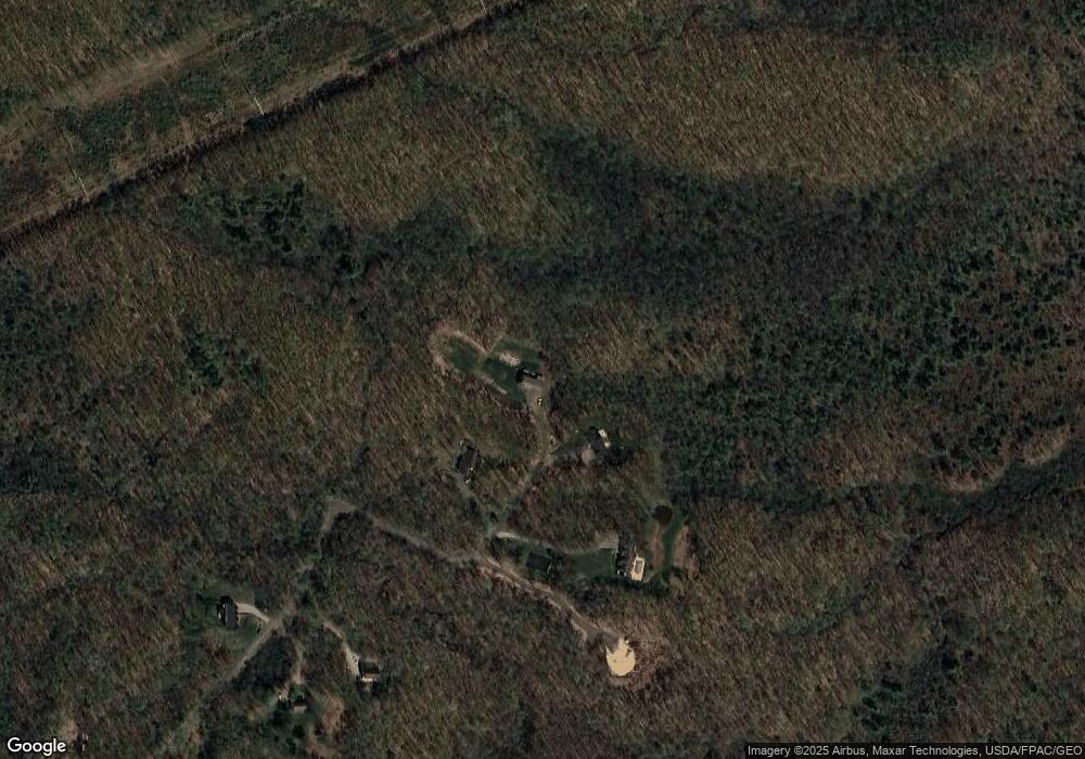
Map
Nearby Homes
- 18 Cascade Cir Unit 12
- 20 Cascade Cir Unit 11
- 274 Alfred Rd
- 276 Alfred Rd
- 24-4,25-10 Chapman Ln
- 7 Meander Ln Unit 3
- 13 Tranquility Dr Unit 20
- 12 Tranquility Dr Unit 17
- 284 Alfred Rd Unit Lot F13
- 1 Robinson Way Unit B 91
- 1 Robinson Way Unit B75
- 141 Thompson Rd
- 9 Patterson Dr
- 4 Furbish Ln
- 30 Twine Mill Rd
- 9 Hammond Rd
- 0 Potvin Rd
- 4 Millstone Ln
- 59 Webber Hill Rd
- lot #3 Salvato Ln