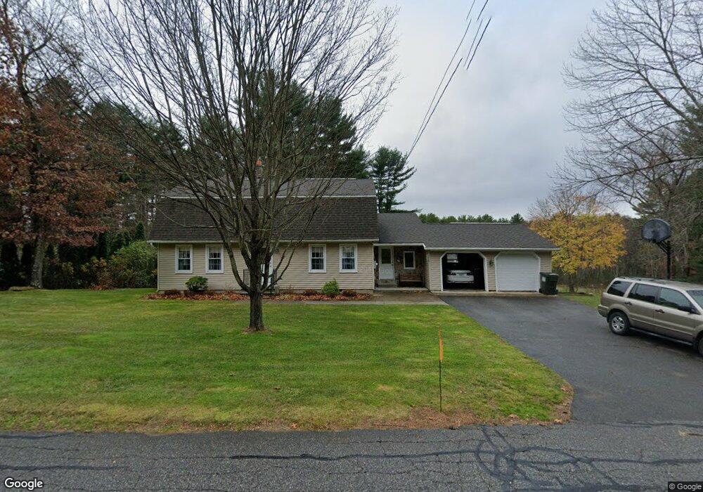
42 Jim Ash Rd Palmer, MA 01069
Estimated Value: $446,000 - $579,000
4
Beds
4
Baths
2,822
Sq Ft
$183/Sq Ft
Est. Value
About This Home
This home is located at 42 Jim Ash Rd, Palmer, MA 01069 and is currently estimated at $516,708, approximately $183 per square foot. 42 Jim Ash Rd is a home located in Hampden County with nearby schools including Old Mill Pond Elementary School, Palmer High School, and Converse Middle School.
Ownership History
Date
Name
Owned For
Owner Type
Purchase Details
Closed on
Nov 21, 2017
Sold by
Supczak David F and Supczak Regina M
Bought by
Goitein Tracy and Supczak Shannon
Current Estimated Value
Purchase Details
Closed on
Sep 12, 1975
Bought by
Supczak David F and Supczak Regina M
Create a Home Valuation Report for This Property
The Home Valuation Report is an in-depth analysis detailing your home's value as well as a comparison with similar homes in the area
Home Values in the Area
Average Home Value in this Area
Purchase History
| Date | Buyer | Sale Price | Title Company |
|---|---|---|---|
| Goitein Tracy | -- | -- | |
| Supczak David F | -- | -- |
Source: Public Records
Mortgage History
| Date | Status | Borrower | Loan Amount |
|---|---|---|---|
| Previous Owner | Supczak David F | $156,500 | |
| Previous Owner | Supczak David F | $100,000 | |
| Previous Owner | Supczak David F | $85,000 | |
| Previous Owner | Supczak David F | $50,000 |
Source: Public Records
Tax History
| Year | Tax Paid | Tax Assessment Tax Assessment Total Assessment is a certain percentage of the fair market value that is determined by local assessors to be the total taxable value of land and additions on the property. | Land | Improvement |
|---|---|---|---|---|
| 2025 | $8,103 | $426,700 | $76,700 | $350,000 |
| 2024 | $7,533 | $388,100 | $69,700 | $318,400 |
| 2023 | $7,293 | $358,900 | $69,700 | $289,200 |
| 2022 | $7,350 | $326,100 | $61,200 | $264,900 |
| 2021 | $6,862 | $289,900 | $68,200 | $221,700 |
| 2020 | $3,324 | $277,500 | $68,200 | $209,300 |
| 2019 | $3,244 | $277,500 | $68,200 | $209,300 |
| 2018 | $3,166 | $269,400 | $66,200 | $203,200 |
| 2017 | $5,943 | $269,400 | $66,200 | $203,200 |
| 2016 | $5,849 | $264,300 | $64,200 | $200,100 |
| 2015 | $5,493 | $256,200 | $64,200 | $192,000 |
Source: Public Records
Map
Nearby Homes
- Lot 87-12 State St
- 3057 Foster St
- 29 Griffin St
- 87-12 State St
- 3072 Main St Unit 3072
- 70 Summer St
- 61 Fuller Rd
- 748 River St Unit 1
- 1711-1723 Ware St
- 4 Sunny Crest Ln
- 34 Commercial St
- 8 Summit Dr
- 31 High Bluff Rd
- 23 High Bluff Rd
- 6 High Bluff Rd
- 15 High Bluff Rd
- 7 High Bluff Rd
- 0 South St
- 4188 Main St
- Lot 14 Center St
Your Personal Tour Guide
Ask me questions while you tour the home.