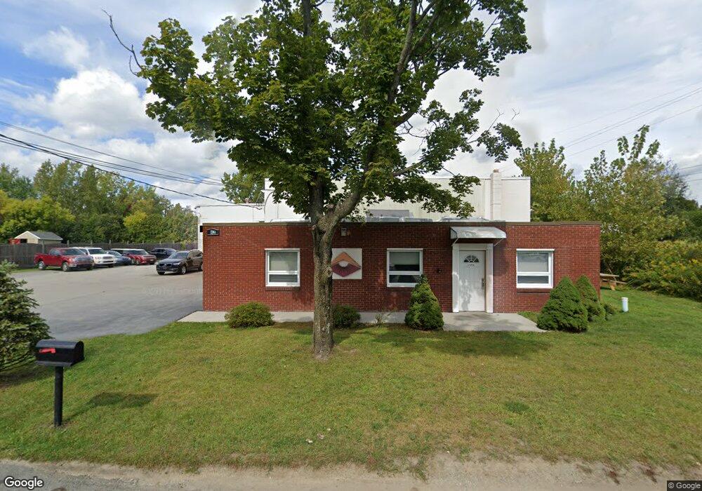
42 Johnson Rd Latham, NY 12110
Estimated Value: $620,245
Studio
--
Bath
3,500
Sq Ft
$177/Sq Ft
Est. Value
About This Home
This home is located at 42 Johnson Rd, Latham, NY 12110 and is currently estimated at $620,245, approximately $177 per square foot. 42 Johnson Rd is a home located in Albany County with nearby schools including Latham Ridge School, Shaker Junior High School, and Shaker High School.
Ownership History
Date
Name
Owned For
Owner Type
Purchase Details
Closed on
Aug 1, 2018
Sold by
Shield Properties Llc
Bought by
42 Johnson Road Llc
Current Estimated Value
Purchase Details
Closed on
Sep 29, 2008
Sold by
Duggan Edward C
Bought by
Shield Properties Llc
Purchase Details
Closed on
Jun 24, 1992
Sold by
Care Equipment Corp
Bought by
Duggan Edward C
Create a Home Valuation Report for This Property
The Home Valuation Report is an in-depth analysis detailing your home's value as well as a comparison with similar homes in the area
Home Values in the Area
Average Home Value in this Area
Purchase History
| Date | Buyer | Sale Price | Title Company |
|---|---|---|---|
| 42 Johnson Road Llc | $525,000 | Stewart Title Insurance Co | |
| Shield Properties Llc | $485,000 | James Philippone | |
| Duggan Edward C | $250,000 | -- |
Source: Public Records
Tax History
| Year | Tax Paid | Tax Assessment Tax Assessment Total Assessment is a certain percentage of the fair market value that is determined by local assessors to be the total taxable value of land and additions on the property. | Land | Improvement |
|---|---|---|---|---|
| 2024 | $9,867 | $231,000 | $108,000 | $123,000 |
| 2023 | $9,744 | $231,000 | $108,000 | $123,000 |
| 2022 | $9,545 | $231,000 | $108,000 | $123,000 |
| 2021 | $9,504 | $231,000 | $108,000 | $123,000 |
| 2020 | $16,508 | $231,000 | $108,000 | $123,000 |
| 2019 | $4,687 | $231,000 | $108,000 | $123,000 |
| 2018 | $15,750 | $231,000 | $108,000 | $123,000 |
| 2017 | $5,893 | $231,000 | $108,000 | $123,000 |
| 2016 | $8,831 | $231,000 | $108,000 | $123,000 |
| 2015 | -- | $231,000 | $108,000 | $123,000 |
| 2014 | -- | $231,000 | $108,000 | $123,000 |
Source: Public Records
Map
Nearby Homes
- 15 Delta Blvd
- 545 Columbia Street Extension
- 10 Skyview Dr
- 25 Louise Dr
- 22 Verdi Blvd
- 8 Kendra Ct
- 45 Wardley Cir
- 76 Waverly Cir
- 7 Landor Ln
- 74 Green Island Ave
- 5 Matthews Ct
- 6 Royal Ct
- 11 Landor Ln
- 5 Landor Ln
- 30 Landor Ln
- 7 Fox Hollow Square
- 11 Fox Hollow Square
- 584 Boght Rd
- 21 Vista Ave
- 79 Meadowlark Dr
Your Personal Tour Guide
Ask me questions while you tour the home.