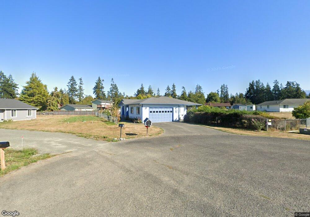
42 Kates Ct Port Angeles, WA 98362
Estimated Value: $628,625 - $701,000
3
Beds
2
Baths
2,041
Sq Ft
$327/Sq Ft
Est. Value
About This Home
This home is located at 42 Kates Ct, Port Angeles, WA 98362 and is currently estimated at $667,542, approximately $327 per square foot. 42 Kates Ct is a home located in Clallam County with nearby schools including Greywolf Elementary School, Sequim Middle School, and Sequim Senior High School.
Ownership History
Date
Name
Owned For
Owner Type
Purchase Details
Closed on
Oct 12, 2011
Sold by
Mckelvey Hamilton C and Mckelvey Joyce B
Bought by
Thompson Bernita
Current Estimated Value
Home Financials for this Owner
Home Financials are based on the most recent Mortgage that was taken out on this home.
Original Mortgage
$194,000
Outstanding Balance
$131,996
Interest Rate
4.05%
Mortgage Type
New Conventional
Estimated Equity
$535,546
Purchase Details
Closed on
Sep 16, 2008
Sold by
Waelter Gerald M and Waelter Elaine M
Bought by
Thompson Bernita M
Home Financials for this Owner
Home Financials are based on the most recent Mortgage that was taken out on this home.
Original Mortgage
$124,000
Interest Rate
6.49%
Mortgage Type
New Conventional
Create a Home Valuation Report for This Property
The Home Valuation Report is an in-depth analysis detailing your home's value as well as a comparison with similar homes in the area
Home Values in the Area
Average Home Value in this Area
Purchase History
| Date | Buyer | Sale Price | Title Company |
|---|---|---|---|
| Thompson Bernita | $55,000 | Clallam Title Company | |
| Thompson Bernita M | $299,000 | Olympic Peninsula Title Co |
Source: Public Records
Mortgage History
| Date | Status | Borrower | Loan Amount |
|---|---|---|---|
| Open | Thompson Bernita | $194,000 | |
| Previous Owner | Thompson Bernita M | $124,000 |
Source: Public Records
Tax History Compared to Growth
Tax History
| Year | Tax Paid | Tax Assessment Tax Assessment Total Assessment is a certain percentage of the fair market value that is determined by local assessors to be the total taxable value of land and additions on the property. | Land | Improvement |
|---|---|---|---|---|
| 2021 | $3,964 | $427,240 | $73,054 | $354,186 |
| 2020 | $4,089 | $394,351 | $73,054 | $321,297 |
| 2018 | $2,991 | $346,568 | $65,749 | $280,819 |
| 2017 | $2,644 | $272,806 | $73,054 | $199,752 |
| 2016 | $2,644 | $272,848 | $73,054 | $199,794 |
| 2015 | $2,644 | $248,280 | $73,054 | $175,226 |
| 2013 | $2,644 | $247,221 | $81,593 | $165,628 |
| 2012 | $2,644 | $263,878 | $85,388 | $178,490 |
Source: Public Records
Map
Nearby Homes
- 23 Kate's Ct
- 177 Ruby Rd
- 242 Agnew Pkwy
- 73 Alpine View Ln
- 73 Alpine View Ln Unit 73 Alpine View Ln
- 404 Monterra Dr
- 1175 Cameron Rd
- 202 Leisure Ln
- 3222 Old Olympic Hwy
- 351 Vautier Rd
- 52 Ivy Ln
- 503 Roberson Rd
- 32 N Evergreen Place
- 196 N Solmar Dr
- 131 Sierra Dr
- 80 S Solmar Dr
- 312 El Camino Dr
- 43 N Solmar Dr
- 114 Harmony Ln
- 553 Dryke Rd