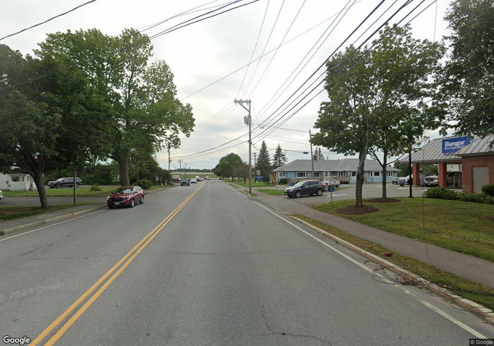
42 Kathryn Ln Unit 42 Bangor, ME 04401
East Bangor NeighborhoodEstimated Value: $422,000 - $478,945
2
Beds
2
Baths
1,600
Sq Ft
$278/Sq Ft
Est. Value
About This Home
This home is located at 42 Kathryn Ln Unit 42, Bangor, ME 04401 and is currently estimated at $444,236, approximately $277 per square foot. 42 Kathryn Ln Unit 42 is a home located in Penobscot County with nearby schools including Fruit Street School, Mary Snow School, and William S. Cohen School.
Ownership History
Date
Name
Owned For
Owner Type
Purchase Details
Closed on
Oct 28, 2024
Sold by
Crowley Timothy D and Crowley Mary E
Bought by
Gordon E & B B True Lt and True
Current Estimated Value
Purchase Details
Closed on
Oct 26, 2023
Sold by
Cowan Timothy C and Cowan Marguerite A
Bought by
Crowley Timothy D and Crowley Mary E
Home Financials for this Owner
Home Financials are based on the most recent Mortgage that was taken out on this home.
Original Mortgage
$270,000
Interest Rate
7.18%
Mortgage Type
Stand Alone Refi Refinance Of Original Loan
Purchase Details
Closed on
Feb 14, 2012
Sold by
Meadowbrook Ridge Llc
Bought by
Sites Julie B
Home Financials for this Owner
Home Financials are based on the most recent Mortgage that was taken out on this home.
Original Mortgage
$210,000
Interest Rate
3.96%
Mortgage Type
Purchase Money Mortgage
Create a Home Valuation Report for This Property
The Home Valuation Report is an in-depth analysis detailing your home's value as well as a comparison with similar homes in the area
Home Values in the Area
Average Home Value in this Area
Purchase History
| Date | Buyer | Sale Price | Title Company |
|---|---|---|---|
| Gordon E & B B True Lt | $405,000 | None Available | |
| Gordon E & B B True Lt | $405,000 | None Available | |
| Crowley Timothy D | -- | None Available | |
| Sites Julie B | -- | -- | |
| Sites Julie B | -- | -- |
Source: Public Records
Mortgage History
| Date | Status | Borrower | Loan Amount |
|---|---|---|---|
| Previous Owner | Crowley Timothy D | $270,000 | |
| Previous Owner | Sites Julie B | $210,000 |
Source: Public Records
Tax History Compared to Growth
Tax History
| Year | Tax Paid | Tax Assessment Tax Assessment Total Assessment is a certain percentage of the fair market value that is determined by local assessors to be the total taxable value of land and additions on the property. | Land | Improvement |
|---|---|---|---|---|
| 2024 | $7,273 | $392,100 | $50,000 | $342,100 |
| 2023 | $7,229 | $377,500 | $52,100 | $325,400 |
| 2022 | $7,048 | $345,500 | $52,100 | $293,400 |
| 2021 | $6,828 | $306,200 | $48,200 | $258,000 |
| 2020 | $6,939 | $299,100 | $48,200 | $250,900 |
| 2019 | $6,668 | $289,900 | $48,200 | $241,700 |
| 2018 | $6,359 | $277,100 | $48,200 | $228,900 |
| 2017 | $6,172 | $273,700 | $48,200 | $225,500 |
| 2016 | $6,030 | $268,000 | $48,200 | $219,800 |
| 2015 | $5,924 | $269,900 | $48,200 | $221,700 |
| 2014 | -- | $268,100 | $48,200 | $219,900 |
Source: Public Records
Map
Nearby Homes
- 40 Kathryn Ln Unit 40
- 127 Chickadee Ln Unit 127
- 122 Chickadee Ln Unit 17
- 19 Virginia Ln
- 1016 State St Unit 7
- 130 Eagle Ridge Rd
- 22 Hobson Ave
- 16 Hempstead Ave
- 410 Mount Hope Ave
- 1290 State St
- 58 Kira Dr
- 1106 Chase Rd
- 3 Veazie Villas Unit 3
- 277 Pearl St
- 29 Thompson Rd
- 33 Black Bear Rd
- 148 Fruit St
- 458 Birch St
- 26 Otis St
- 63 Molly Ln
- 42 Kathryn Ln Unit 27
- 46 Kathryn Ln
- 36 Kathryn Ln Unit 36
- 2 Primrose Place Unit 42
- 1 Primrose Place Unit 38
- 1 Primrose Place Unit 39
- 1 Primrose Place Unit 40
- 1 Primrose Place Unit 41
- 1 Primrose Place Unit 35
- 32 Kathryn Ln Unit 32
- 20 Kathryn Ln
- 20 Kathryn Ln Unit 14
- 18 Kathryn Ln
- 18 Kathryn Ln Unit 13
- 18 Kathryn Ln Unit 28
- 17 Kathryn Ln
- 17 Kathryn Ln Unit 12
- 33 Primrose Place
- 33 Primrose Place Unit 33
- 28 Kathryn Ln Unit 28
