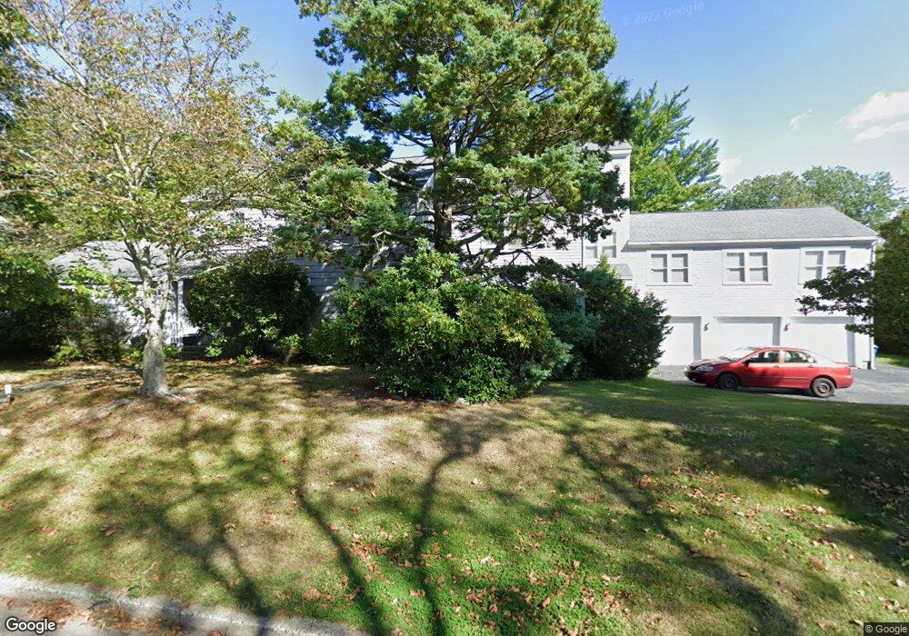
42 Kay Blvd Newport, RI 02840
Eustis-Easton's Pond NeighborhoodEstimated Value: $1,520,000 - $2,082,000
4
Beds
4
Baths
4,156
Sq Ft
$441/Sq Ft
Est. Value
About This Home
This home is located at 42 Kay Blvd, Newport, RI 02840 and is currently estimated at $1,831,217, approximately $440 per square foot. 42 Kay Blvd is a home located in Newport County with nearby schools including Rogers High School, St Michael's Country Day School, and All Saints STEAM Academy.
Ownership History
Date
Name
Owned For
Owner Type
Purchase Details
Closed on
Aug 4, 2000
Sold by
Beam Timothy B and Beam Susan
Bought by
Mcloughlin James C
Current Estimated Value
Home Financials for this Owner
Home Financials are based on the most recent Mortgage that was taken out on this home.
Original Mortgage
$236,800
Interest Rate
8.1%
Purchase Details
Closed on
Feb 16, 1996
Sold by
Lasky Robert M and Maclellan Christine M
Bought by
Beam Timothy B and Beam Susan
Home Financials for this Owner
Home Financials are based on the most recent Mortgage that was taken out on this home.
Original Mortgage
$171,000
Interest Rate
6.99%
Create a Home Valuation Report for This Property
The Home Valuation Report is an in-depth analysis detailing your home's value as well as a comparison with similar homes in the area
Home Values in the Area
Average Home Value in this Area
Purchase History
| Date | Buyer | Sale Price | Title Company |
|---|---|---|---|
| Mcloughlin James C | $296,000 | -- | |
| Beam Timothy B | $190,000 | -- |
Source: Public Records
Mortgage History
| Date | Status | Borrower | Loan Amount |
|---|---|---|---|
| Open | Beam Timothy B | $234,000 | |
| Closed | Beam Timothy B | $234,800 | |
| Closed | Beam Timothy B | $236,800 | |
| Previous Owner | Beam Timothy B | $171,000 |
Source: Public Records
Tax History Compared to Growth
Tax History
| Year | Tax Paid | Tax Assessment Tax Assessment Total Assessment is a certain percentage of the fair market value that is determined by local assessors to be the total taxable value of land and additions on the property. | Land | Improvement |
|---|---|---|---|---|
| 2025 | $13,881 | $1,597,500 | $501,900 | $1,095,600 |
| 2024 | $13,131 | $1,597,500 | $501,900 | $1,095,600 |
| 2023 | $10,011 | $1,009,200 | $301,600 | $707,600 |
| 2022 | $9,698 | $1,009,200 | $301,600 | $707,600 |
| 2021 | $9,416 | $1,009,200 | $301,600 | $707,600 |
| 2020 | $8,098 | $787,700 | $289,100 | $498,600 |
| 2019 | $8,098 | $787,700 | $289,100 | $498,600 |
| 2018 | $7,869 | $787,700 | $289,100 | $498,600 |
| 2017 | $7,418 | $661,700 | $181,900 | $479,800 |
| 2016 | $7,232 | $661,700 | $181,900 | $479,800 |
| 2015 | $7,060 | $661,700 | $181,900 | $479,800 |
| 2014 | $7,620 | $631,800 | $169,300 | $462,500 |
Source: Public Records
Map
Nearby Homes
- 36 Kay Blvd
- 129 Bliss Mine Rd
- 78 Ellery Rd
- 1 Shangri-La Ln
- 103 Champlin Place N
- 198 Gibbs Ave
- 128 Eustis Ave
- 19 Princeton St Unit 21
- 55 John Clarke Rd Unit 8
- 55 John Clarke Rd Unit 3
- 5 Gardiner St
- 138 Green End Ave
- 5 Elliot Place
- 78 Rhode Island Ave Unit 6
- 78 Rhode Island Ave Unit 8
- 8 Champlin St
- 1 Arnold Ave
- 203 N Fenner Ave Unit 5
- 55 Hunter Ave
- 17 Lincoln St