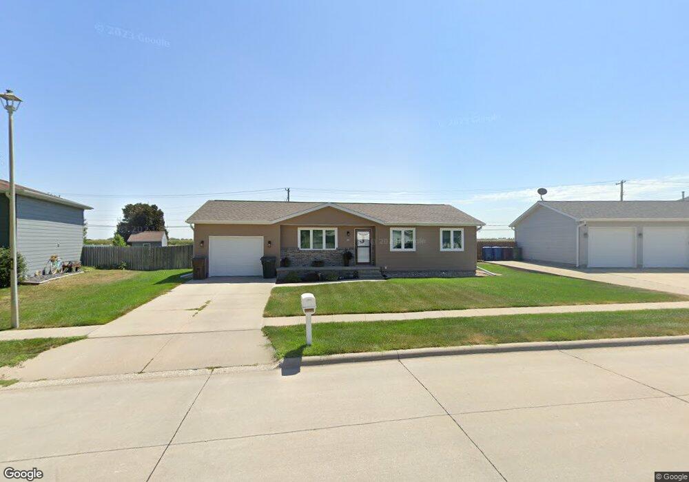
42 La Platte Rd Kearney, NE 68845
Estimated Value: $247,456 - $301,000
3
Beds
2
Baths
1,002
Sq Ft
$286/Sq Ft
Est. Value
About This Home
This home is located at 42 La Platte Rd, Kearney, NE 68845 and is currently estimated at $286,614, approximately $286 per square foot. 42 La Platte Rd is a home located in Buffalo County with nearby schools including Central Elementary School, Horizon Middle School, and Kearney Senior High School.
Ownership History
Date
Name
Owned For
Owner Type
Purchase Details
Closed on
Apr 14, 2010
Sold by
Meyer Karen A and Meyer Russell E
Bought by
Johnson Sharon K
Current Estimated Value
Purchase Details
Closed on
Apr 13, 2009
Sold by
Meyer Karen A and Meyer Russell E
Bought by
Johnson Sharon K
Purchase Details
Closed on
May 20, 2008
Sold by
Meyer Karen A and Meyer Russell E
Bought by
Johnson Sharon K
Purchase Details
Closed on
Mar 29, 2007
Sold by
Meyer Karen A and Meyer Russell E
Bought by
Johnson Sharon K
Purchase Details
Closed on
Jun 1, 2005
Sold by
Meyer Karen A and Meyer Russell E
Bought by
Johnson Sahron K
Create a Home Valuation Report for This Property
The Home Valuation Report is an in-depth analysis detailing your home's value as well as a comparison with similar homes in the area
Home Values in the Area
Average Home Value in this Area
Purchase History
| Date | Buyer | Sale Price | Title Company |
|---|---|---|---|
| Johnson Sharon K | -- | -- | |
| Johnson Sharon K | -- | -- | |
| Johnson Sharon K | -- | -- | |
| Johnson Sharon K | -- | - | |
| Johnson Sahron K | -- | -- |
Source: Public Records
Tax History Compared to Growth
Tax History
| Year | Tax Paid | Tax Assessment Tax Assessment Total Assessment is a certain percentage of the fair market value that is determined by local assessors to be the total taxable value of land and additions on the property. | Land | Improvement |
|---|---|---|---|---|
| 2025 | $2,972 | $260,505 | $55,835 | $204,670 |
| 2024 | $2,972 | $226,535 | $54,210 | $172,325 |
| 2023 | $3,785 | $222,370 | $54,210 | $168,160 |
| 2022 | $3,404 | $193,970 | $47,860 | $146,110 |
| 2021 | $3,033 | $175,885 | $36,695 | $139,190 |
| 2020 | $3,033 | $175,370 | $36,695 | $138,675 |
| 2019 | $2,889 | $165,015 | $36,695 | $128,320 |
| 2018 | $3,024 | $175,200 | $36,695 | $138,505 |
| 2017 | $2,898 | $169,040 | $36,695 | $132,345 |
| 2016 | $2,874 | $169,040 | $36,695 | $132,345 |
| 2015 | $2,385 | $153,375 | $0 | $0 |
| 2014 | $2,385 | $125,120 | $0 | $0 |
Source: Public Records
Map
Nearby Homes
- 2110 30th Ave
- 1411 17th Ave
- 2100 15th Ave
- 2204 15th Ave
- 1514 12th Ave
- 1124 W 20th St
- 1012 12th Ave
- 2207 Turkey Creek
- 710 30th Ave
- L1B1 30th Ave
- L4B1 30th Ave
- 6 21st Avenue Place
- 819 W 24th St
- 2809 W 35th St
- 1009 W 8th St
- 1419 7th Ave
- 2119 W 36th St
- 6 N Lake Dr
- TBD 28th Ave Unit L5B1 Spruce Hollow W
- L5B1 Aspen Meadows Second Addition