42 Lakewood Cir N Greenwich, CT 06830
Downtown Greenwich NeighborhoodEstimated Value: $5,782,858 - $6,570,000
5
Beds
8
Baths
5,814
Sq Ft
$1,058/Sq Ft
Est. Value
About This Home
This home is located at 42 Lakewood Cir N, Greenwich, CT 06830 and is currently estimated at $6,152,286, approximately $1,058 per square foot. 42 Lakewood Cir N is a home located in Fairfield County with nearby schools including Julian Curtiss School, Central Middle School, and Greenwich High School.
Ownership History
Date
Name
Owned For
Owner Type
Purchase Details
Closed on
Jul 8, 1998
Sold by
Vision Dev Corp
Bought by
Korn Willard C and Korn Diane D
Current Estimated Value
Home Financials for this Owner
Home Financials are based on the most recent Mortgage that was taken out on this home.
Original Mortgage
$2,160,000
Interest Rate
6.88%
Mortgage Type
Unknown
Create a Home Valuation Report for This Property
The Home Valuation Report is an in-depth analysis detailing your home's value as well as a comparison with similar homes in the area
Home Values in the Area
Average Home Value in this Area
Purchase History
| Date | Buyer | Sale Price | Title Company |
|---|---|---|---|
| Korn Willard C | $2,400,000 | -- |
Source: Public Records
Mortgage History
| Date | Status | Borrower | Loan Amount |
|---|---|---|---|
| Open | Korn Willard C | $2,160,000 | |
| Closed | Korn Willard C | $2,160,000 | |
| Closed | Korn Willard C | $2,160,000 |
Source: Public Records
Tax History Compared to Growth
Tax History
| Year | Tax Paid | Tax Assessment Tax Assessment Total Assessment is a certain percentage of the fair market value that is determined by local assessors to be the total taxable value of land and additions on the property. | Land | Improvement |
|---|---|---|---|---|
| 2025 | $30,672 | $2,481,780 | $1,130,500 | $1,351,280 |
| 2024 | $29,623 | $2,481,780 | $1,130,500 | $1,351,280 |
| 2023 | $28,878 | $2,481,780 | $1,130,500 | $1,351,280 |
| 2022 | $28,615 | $2,481,780 | $1,130,500 | $1,351,280 |
| 2021 | $32,365 | $2,688,140 | $1,110,270 | $1,577,870 |
| 2020 | $32,311 | $2,688,140 | $1,110,270 | $1,577,870 |
| 2019 | $32,476 | $2,675,120 | $1,110,270 | $1,564,850 |
| 2018 | $33,091 | $2,675,120 | $1,110,270 | $1,564,850 |
| 2017 | $32,152 | $2,675,120 | $1,110,270 | $1,564,850 |
| 2016 | $31,644 | $2,675,120 | $1,110,270 | $1,564,850 |
| 2015 | $31,721 | $2,660,000 | $1,161,230 | $1,498,770 |
| 2014 | $30,923 | $2,660,000 | $1,161,230 | $1,498,770 |
Source: Public Records
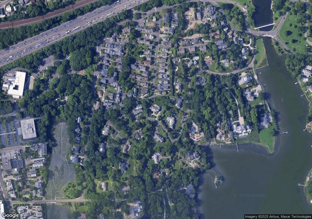
Map
Nearby Homes
- 90 Oneida Dr
- 282 Bruce Park Ave Unit 2
- 2 Vista Dr
- 636 Steamboat Rd Unit 3ABE
- 59 Locust St Unit A
- 59 Locust St Unit B
- 57 Locust St Unit B
- 57 Locust St Unit A
- 16 Windrose Way
- 40 Bruce Park Dr
- 201 Shore Rd
- 25 Woodland Dr Unit C
- 50 Sound View Dr Unit 4n
- 1 Sound View Terrace
- 148 E Elm St Unit 1
- 148 E Elm St Unit 2
- 105 Woodside Dr
- 151 E Elm St
- 92 Orchard Dr
- 125 Field Point Rd Unit PH B5
- 53 Orchard Place
- 53 Orchard Place Unit A
- 36 Lakewood Cir N
- 58 Orchard Place
- 60 Orchard Place
- 60 Orchard Place Unit E
- 60 Orchard Place Unit W
- 95 Oneida Dr
- 51 Orchard Place
- 51 Orchard Place Unit B
- 51 Orchard Place Unit Rear
- 61 Orchard Place Unit B
- 61 Orchard Place Unit A
- 61 Orchard Place
- 56 Orchard Place
- 56 Orchard Place Unit EAST
- 56 Orchard Place Unit WEST
- 56 Orchard Place Unit W
- 56 Orchard Place Unit E