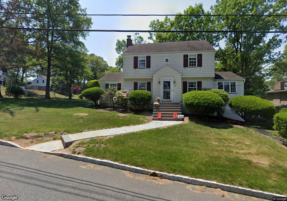
42 Lessing Rd West Orange, NJ 07052
Estimated Value: $672,000 - $774,000
--
Bed
--
Bath
1,656
Sq Ft
$434/Sq Ft
Est. Value
About This Home
This home is located at 42 Lessing Rd, West Orange, NJ 07052 and is currently estimated at $718,044, approximately $433 per square foot. 42 Lessing Rd is a home located in Essex County with nearby schools including West Orange High School, Golda Och Academy Lower School, and Golda Och Academy.
Ownership History
Date
Name
Owned For
Owner Type
Purchase Details
Closed on
Dec 19, 2005
Sold by
Reed Myles
Bought by
Mcneil Forrest and Mcneil Le Sean
Current Estimated Value
Home Financials for this Owner
Home Financials are based on the most recent Mortgage that was taken out on this home.
Original Mortgage
$337,840
Outstanding Balance
$189,809
Interest Rate
6.36%
Estimated Equity
$528,235
Purchase Details
Closed on
Apr 10, 1984
Bought by
Polizzano Daniel + Patricia Ann
Create a Home Valuation Report for This Property
The Home Valuation Report is an in-depth analysis detailing your home's value as well as a comparison with similar homes in the area
Home Values in the Area
Average Home Value in this Area
Purchase History
| Date | Buyer | Sale Price | Title Company |
|---|---|---|---|
| Mcneil Forrest | $422,300 | -- | |
| Polizzano Daniel + Patricia Ann | $120,000 | -- |
Source: Public Records
Mortgage History
| Date | Status | Borrower | Loan Amount |
|---|---|---|---|
| Open | Mcneil Forrest | $337,840 |
Source: Public Records
Tax History Compared to Growth
Tax History
| Year | Tax Paid | Tax Assessment Tax Assessment Total Assessment is a certain percentage of the fair market value that is determined by local assessors to be the total taxable value of land and additions on the property. | Land | Improvement |
|---|---|---|---|---|
| 2025 | $14,406 | $631,800 | $319,100 | $312,700 |
| 2024 | $14,406 | $313,300 | $165,500 | $147,800 |
| 2022 | $13,901 | $313,300 | $165,500 | $147,800 |
| 2021 | $13,641 | $313,300 | $165,500 | $147,800 |
| 2020 | $13,422 | $313,300 | $165,500 | $147,800 |
| 2019 | $13,036 | $313,300 | $165,500 | $147,800 |
| 2018 | $12,651 | $313,300 | $165,500 | $147,800 |
| 2017 | $12,488 | $313,300 | $165,500 | $147,800 |
| 2016 | $12,187 | $313,300 | $165,500 | $147,800 |
| 2015 | $11,959 | $313,300 | $165,500 | $147,800 |
| 2014 | $11,724 | $313,300 | $165,500 | $147,800 |
Source: Public Records
Map
Nearby Homes
- 1-3 Birchwood Ave
- 97 Fairview Ave
- 13 Arverne Rd
- 55-57 Ridgeway Ave
- 55 Ridgeway Ave
- 21 Sheridan Ave
- 23 Sheridan Ave
- 304 Barringer Ct Unit C0301
- 382 Saint Cloud Ave
- 356 Northfield Ave
- 388 Saint Cloud Ave
- 27 Underwood Dr
- 8 Benvenue Ave
- 31 Collamore Terrace
- 15 Stone Dr
- 14 Maple Ave
- 1490 Pleasant Valley Way
- 57 Winding Way
- 17 Mountain Dr
- 2 Ridge Rd
- 46 Lessing Rd Unit 48
- 21 Birchwood Ave
- 52 Lessing Rd
- 11 Birchwood Ave
- 18 Birchwood Ave
- 69 Fairview Ave
- 24 Birchwood Ave
- 45 Lessing Rd
- 54 Lessing Rd
- 39 Lessing Rd
- 59 Fairview Ave
- 75 Fairview Ave
- 7 Birchwood Ave
- 17 Edgewood Ave
- 53 Lessing Rd
- 21 Edgewood Ave
- 56 Lessing Rd
- 62 Fairview Ave
- 55 Fairview Ave
- 15 Edgewood Ave